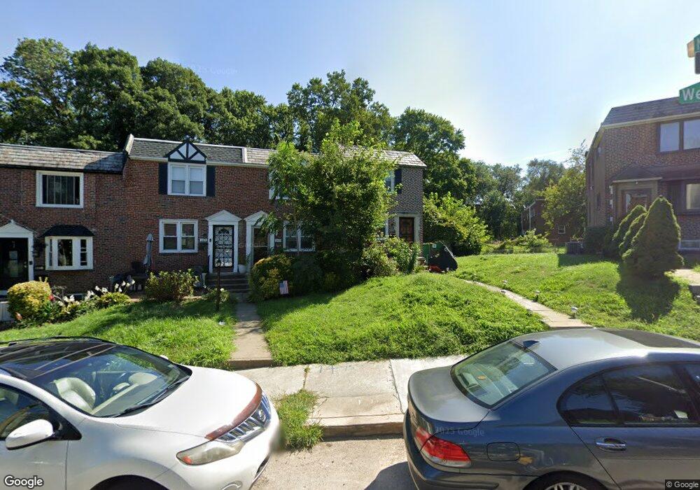
1401 W End Dr Philadelphia, PA 19151
Overbrook NeighborhoodEstimated Value: $214,000 - $247,000
3
Beds
1
Bath
1,120
Sq Ft
$204/Sq Ft
Est. Value
About This Home
This home is located at 1401 W End Dr, Philadelphia, PA 19151 and is currently estimated at $228,385, approximately $203 per square foot. 1401 W End Dr is a home located in Philadelphia County with nearby schools including Lamberton Robert E School, Overbrook High School, and West Philadelphia Achievement Charter Elementary School.
Ownership History
Date
Name
Owned For
Owner Type
Purchase Details
Closed on
Aug 12, 2005
Sold by
Minix Lucille
Bought by
Carruth Quince and Stone Micheline
Current Estimated Value
Home Financials for this Owner
Home Financials are based on the most recent Mortgage that was taken out on this home.
Original Mortgage
$104,000
Interest Rate
6.15%
Mortgage Type
Fannie Mae Freddie Mac
Purchase Details
Closed on
Apr 7, 1999
Sold by
Yassky Steven and Yassky Miriam
Bought by
Minix Lucille
Create a Home Valuation Report for This Property
The Home Valuation Report is an in-depth analysis detailing your home's value as well as a comparison with similar homes in the area
Home Values in the Area
Average Home Value in this Area
Purchase History
| Date | Buyer | Sale Price | Title Company |
|---|---|---|---|
| Carruth Quince | $130,000 | None Available | |
| Minix Lucille | $78,500 | -- |
Source: Public Records
Mortgage History
| Date | Status | Borrower | Loan Amount |
|---|---|---|---|
| Previous Owner | Carruth Quince | $104,000 |
Source: Public Records
Tax History Compared to Growth
Tax History
| Year | Tax Paid | Tax Assessment Tax Assessment Total Assessment is a certain percentage of the fair market value that is determined by local assessors to be the total taxable value of land and additions on the property. | Land | Improvement |
|---|---|---|---|---|
| 2025 | $2,514 | $214,000 | $42,800 | $171,200 |
| 2024 | $2,514 | $214,000 | $42,800 | $171,200 |
| 2023 | $2,514 | $179,600 | $35,920 | $143,680 |
| 2022 | $1,258 | $134,600 | $35,920 | $98,680 |
| 2021 | $1,888 | $0 | $0 | $0 |
| 2020 | $1,888 | $0 | $0 | $0 |
| 2019 | $1,818 | $0 | $0 | $0 |
| 2018 | $2,108 | $0 | $0 | $0 |
| 2017 | $2,108 | $0 | $0 | $0 |
| 2016 | $1,688 | $0 | $0 | $0 |
| 2015 | $1,616 | $0 | $0 | $0 |
| 2014 | -- | $150,600 | $64,809 | $85,791 |
| 2012 | -- | $15,808 | $3,186 | $12,622 |
Source: Public Records
Map
Nearby Homes
- 7251 Haverford Ave
- 7326 Brookhaven Rd
- 1721 N 72nd St
- 7448 Rhoads St
- 7517 Brookhaven Rd
- 7519 Brookhaven Rd
- 7452 Brockton Rd
- 7507 Sherwood Rd
- 7530 Greenhill Rd
- 7603 Woodcrest Ave
- 7520 Overbrook Ave
- 1843-45 N 72nd St
- 7102 City Ave
- 7546 Overbrook Ave
- 7641 Brentwood Rd
- 1848 N 76th St
- 7650 Sherwood Rd
- 6618 Malvern Ave
- 1004 N 66th St
- 1802 N 77th St
- 1403 W End Dr
- 1405 W End Dr
- 7300 Malvern Ave
- 1407 W End Dr
- 7309 Ruskin Rd
- 7307 Ruskin Rd
- 7302 Malvern Ave
- 1409 W End Dr
- 7305 Ruskin Rd
- 7304 Malvern Ave
- 1411 W End Dr
- 1413 W End Dr
- 7306 Malvern Ave
- 7303 Ruskin Rd
- 1415 W End Dr
- 7308 Malvern Ave
- 7310 Malvern Ave
- 7311 Ruskin Rd
- 7301 Ruskin Rd
- 7312 Malvern Ave