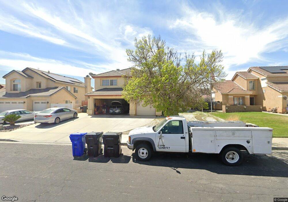
14013 Dale Ct Victorville, CA 92392
Mesa Linda NeighborhoodEstimated Value: $437,000 - $487,000
3
Beds
3
Baths
2,522
Sq Ft
$184/Sq Ft
Est. Value
About This Home
This home is located at 14013 Dale Ct, Victorville, CA 92392 and is currently estimated at $463,661, approximately $183 per square foot. 14013 Dale Ct is a home located in San Bernardino County with nearby schools including Liberty Elementary School, Park View Elementary School, and Imogene Garner Hook Junior High School.
Ownership History
Date
Name
Owned For
Owner Type
Purchase Details
Closed on
Mar 26, 1996
Sold by
American Svgs Bank Fa
Bought by
Chambers Marjori
Current Estimated Value
Home Financials for this Owner
Home Financials are based on the most recent Mortgage that was taken out on this home.
Original Mortgage
$119,837
Interest Rate
7.41%
Mortgage Type
FHA
Purchase Details
Closed on
Nov 27, 1995
Sold by
Lewis Onia M and American Svgs Bank Fa
Bought by
American Svgs Bank Fa
Create a Home Valuation Report for This Property
The Home Valuation Report is an in-depth analysis detailing your home's value as well as a comparison with similar homes in the area
Home Values in the Area
Average Home Value in this Area
Purchase History
| Date | Buyer | Sale Price | Title Company |
|---|---|---|---|
| Chambers Marjori | $122,000 | Investors Title Company | |
| American Svgs Bank Fa | $80,750 | Orange Coast Title |
Source: Public Records
Mortgage History
| Date | Status | Borrower | Loan Amount |
|---|---|---|---|
| Closed | Chambers Marjori | $119,837 |
Source: Public Records
Tax History Compared to Growth
Tax History
| Year | Tax Paid | Tax Assessment Tax Assessment Total Assessment is a certain percentage of the fair market value that is determined by local assessors to be the total taxable value of land and additions on the property. | Land | Improvement |
|---|---|---|---|---|
| 2025 | $2,495 | $215,309 | $49,674 | $165,635 |
| 2024 | $2,495 | $211,087 | $48,700 | $162,387 |
| 2023 | $2,469 | $206,948 | $47,745 | $159,203 |
| 2022 | $2,426 | $202,890 | $46,809 | $156,081 |
| 2021 | $2,382 | $198,912 | $45,891 | $153,021 |
| 2020 | $2,339 | $196,872 | $45,420 | $151,452 |
| 2019 | $2,299 | $193,011 | $44,529 | $148,482 |
| 2018 | $2,445 | $189,227 | $43,656 | $145,571 |
| 2017 | $2,394 | $185,517 | $42,800 | $142,717 |
| 2016 | $2,345 | $181,880 | $41,961 | $139,919 |
| 2015 | $2,262 | $179,148 | $41,331 | $137,817 |
| 2014 | $2,218 | $175,638 | $40,521 | $135,117 |
Source: Public Records
Map
Nearby Homes
- 12977 Dusty Rd
- 12941 Bullet Ave
- 13994 Rogers Ln
- 13986 Rogers Ln
- 14080 Rogers Ln
- 12867 Banyon Tree Ln
- 14111 Liberty Way
- 14150 Manzano Rd
- 14195 Whispering Sands Dr
- 12831 Stage Coach Dr
- 14200 La Mirada St
- 13832 Bluegrass Place
- 13251 Falcon Trail
- 13769 Bluegrass Place
- 12761 Paso Robles Dr
- 14230 Hillsborough Dr
- 14133 Pacoima Cir
- 12668 Galaxy St
- 13376 Pacoima Rd
- 13847 Galaxy Way