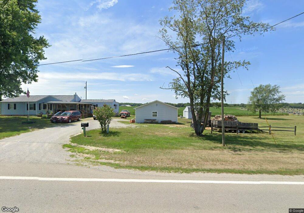
14013 State Route 136 West Union, OH 45693
Estimated Value: $143,293 - $208,000
3
Beds
2
Baths
1,848
Sq Ft
$98/Sq Ft
Est. Value
About This Home
This home is located at 14013 State Route 136, West Union, OH 45693 and is currently estimated at $180,823, approximately $97 per square foot. 14013 State Route 136 is a home located in Adams County with nearby schools including North Adams Elementary School and North Adams High School.
Ownership History
Date
Name
Owned For
Owner Type
Purchase Details
Closed on
Dec 13, 2004
Sold by
Woodall Donald L
Bought by
Cluxton Samuel
Current Estimated Value
Purchase Details
Closed on
Dec 3, 2004
Sold by
Cluxton Samuel and Cluxton Ina M
Bought by
Cluxton Samuel and Cluxton Ina M
Purchase Details
Closed on
Nov 8, 1994
Bought by
Woodall Donald L
Create a Home Valuation Report for This Property
The Home Valuation Report is an in-depth analysis detailing your home's value as well as a comparison with similar homes in the area
Home Values in the Area
Average Home Value in this Area
Purchase History
| Date | Buyer | Sale Price | Title Company |
|---|---|---|---|
| Cluxton Samuel | $107,900 | -- | |
| Cluxton Samuel | -- | The Main Title Agency | |
| Woodall Donald L | $35,000 | -- |
Source: Public Records
Tax History Compared to Growth
Tax History
| Year | Tax Paid | Tax Assessment Tax Assessment Total Assessment is a certain percentage of the fair market value that is determined by local assessors to be the total taxable value of land and additions on the property. | Land | Improvement |
|---|---|---|---|---|
| 2024 | $694 | $28,770 | $5,110 | $23,660 |
| 2023 | $721 | $28,770 | $5,110 | $23,660 |
| 2022 | $731 | $28,070 | $3,780 | $24,290 |
| 2021 | $767 | $28,070 | $3,780 | $24,290 |
| 2020 | $783 | $28,070 | $3,780 | $24,290 |
| 2019 | $783 | $28,070 | $3,780 | $24,290 |
| 2018 | $607 | $24,010 | $3,780 | $20,230 |
| 2017 | $597 | $24,010 | $3,780 | $20,230 |
| 2016 | $596 | $24,010 | $3,780 | $20,230 |
| 2015 | $596 | $24,500 | $3,920 | $20,580 |
| 2014 | $597 | $24,500 | $3,920 | $20,580 |
Source: Public Records
Map
Nearby Homes
- 17217 Ohio 136
- 13529 Ohio 247
- 1689 Eckmansville Rd
- 125 Robinette Rd
- 195 Silver
- 86 Hawk Hill Rd
- 831 Tom Brown Rd
- 3287 Chapparal Rd
- 1717 Foster Rd
- 0 Eckmansville Rd
- 288 Graces Run Rd
- 5021 Ohio 125
- 5087 State Route 125
- 10656 Kendall Rd
- ac Ohio 247
- 1.15 ac Ohio 247
- 0 Tranquility Pike
- 17479 Ohio 247
- 3551 Unity Rd
- 19166 State Route 136
- 14636 St Rt 136
- 14559 State Route 136
- 0 St Rt 136 Unit 1207858
- 0 St Rt 136 Unit 1510781
- 13726 State Route 136
- 13726 State Route 136
- 13710 State Route 136
- 13710 St Rt 136
- 136 Sr 136
- 5652 Decatur Pike
- 200 Coon Hill Rd
- 13690 State Route 136
- 13690 State Route 136
- 14966 St Rt 136
- 14966 St Rt 136
- 14424 State Route 136
- 5665 Decatur Pike
- 13646 State Route 136
- 14500 St Rt 136
- 5203 Decatur Pike