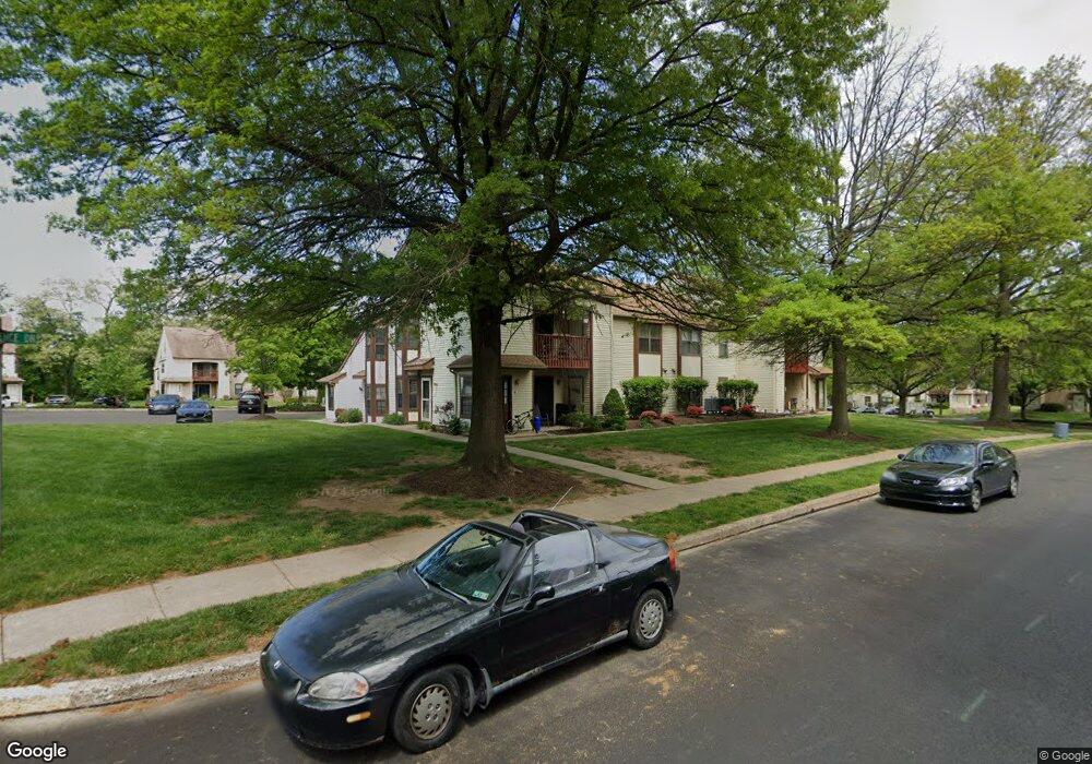
1402 Clark Ct Unit 723B Southampton, PA 18966
Estimated Value: $329,000 - $396,000
2
Beds
2
Baths
1,420
Sq Ft
$257/Sq Ft
Est. Value
About This Home
This home is located at 1402 Clark Ct Unit 723B, Southampton, PA 18966 and is currently estimated at $365,282, approximately $257 per square foot. 1402 Clark Ct Unit 723B is a home located in Bucks County with nearby schools including Rolling Hills Elementary School, Richboro Middle School, and Council Rock High School - South.
Ownership History
Date
Name
Owned For
Owner Type
Purchase Details
Closed on
Mar 22, 2012
Sold by
Kats Lana
Bought by
Kutsaya Lana and Kutsaya Michael
Current Estimated Value
Home Financials for this Owner
Home Financials are based on the most recent Mortgage that was taken out on this home.
Original Mortgage
$142,500
Outstanding Balance
$97,841
Interest Rate
3.86%
Mortgage Type
New Conventional
Estimated Equity
$267,441
Purchase Details
Closed on
Jul 7, 2008
Sold by
Kutsaya Michael
Bought by
Kats Lana
Purchase Details
Closed on
Apr 2, 1999
Sold by
Albano Mary and Scammell Mary C
Bought by
Kutsaya Michael
Home Financials for this Owner
Home Financials are based on the most recent Mortgage that was taken out on this home.
Original Mortgage
$92,000
Interest Rate
7.04%
Create a Home Valuation Report for This Property
The Home Valuation Report is an in-depth analysis detailing your home's value as well as a comparison with similar homes in the area
Home Values in the Area
Average Home Value in this Area
Purchase History
| Date | Buyer | Sale Price | Title Company |
|---|---|---|---|
| Kutsaya Lana | -- | None Available | |
| Kats Lana | -- | None Available | |
| Kutsaya Michael | $97,000 | -- |
Source: Public Records
Mortgage History
| Date | Status | Borrower | Loan Amount |
|---|---|---|---|
| Open | Kutsaya Lana | $142,500 | |
| Closed | Kutsaya Michael | $92,000 |
Source: Public Records
Tax History Compared to Growth
Tax History
| Year | Tax Paid | Tax Assessment Tax Assessment Total Assessment is a certain percentage of the fair market value that is determined by local assessors to be the total taxable value of land and additions on the property. | Land | Improvement |
|---|---|---|---|---|
| 2025 | $3,621 | $18,800 | -- | $18,800 |
| 2024 | $3,621 | $18,800 | $0 | $18,800 |
| 2023 | $3,413 | $18,800 | $0 | $18,800 |
| 2022 | $3,382 | $18,800 | $0 | $18,800 |
| 2021 | $3,275 | $18,800 | $0 | $18,800 |
| 2020 | $3,201 | $18,800 | $0 | $18,800 |
| 2019 | $3,064 | $18,800 | $0 | $18,800 |
| 2018 | $3,009 | $18,800 | $0 | $18,800 |
| 2017 | $2,893 | $18,800 | $0 | $18,800 |
| 2016 | $2,893 | $18,800 | $0 | $18,800 |
| 2015 | -- | $18,800 | $0 | $18,800 |
| 2014 | -- | $18,800 | $0 | $18,800 |
Source: Public Records
Map
Nearby Homes
- 1206 Barry Ct Unit 717A
- 4016 Barry Ct Unit 736B
- 2010 Barry Ct Unit 743B
- 327 Hale Dr Unit 801A
- 151 Knox Ct
- 302 Independence Dr
- 102 Keenan Ln
- 6 Springwood Place
- 21019 Bennett Place Unit 7
- 7 Bennett Place
- 139 Heather Valley Rd
- 13 S Lancaster Ln
- 19 Seton Hill Ct
- 323 Leedom Way Unit 56
- 163 Leedom Way Unit 25
- 24010 Beacon Hill Dr
- 2604 Beacon Hill Dr Unit 2
- 23 Ardsley Ct
- 164 Commonwealth Dr
- 281 E Village Rd
- 1406 Clark Ct Unit 720A
- 1406 Clark Ct
- 1404 Clark Ct Unit 723A
- 1404 Clark Ct
- 1408 Clark Ct Unit 720B
- 14016 Clark Ct
- 14012 Clark Ct
- 14014 Clark Ct Unit 722A
- 14014 Clark Ct
- 14010 Clark Ct Unit 721B
- 16 Clark Ct Unit 14
- 18 Clark Ct Unit 4
- 14 Clark Ct
- 2212 Clark Ct
- 1610 Clark Ct
- 12016 Clark Ct Unit 719B
- 1810 Clark Ct
- 12014 Clark Ct Unit 719A
- 12012 Barry Ct Unit 718B
- 10014 Barry Ct Unit 724A