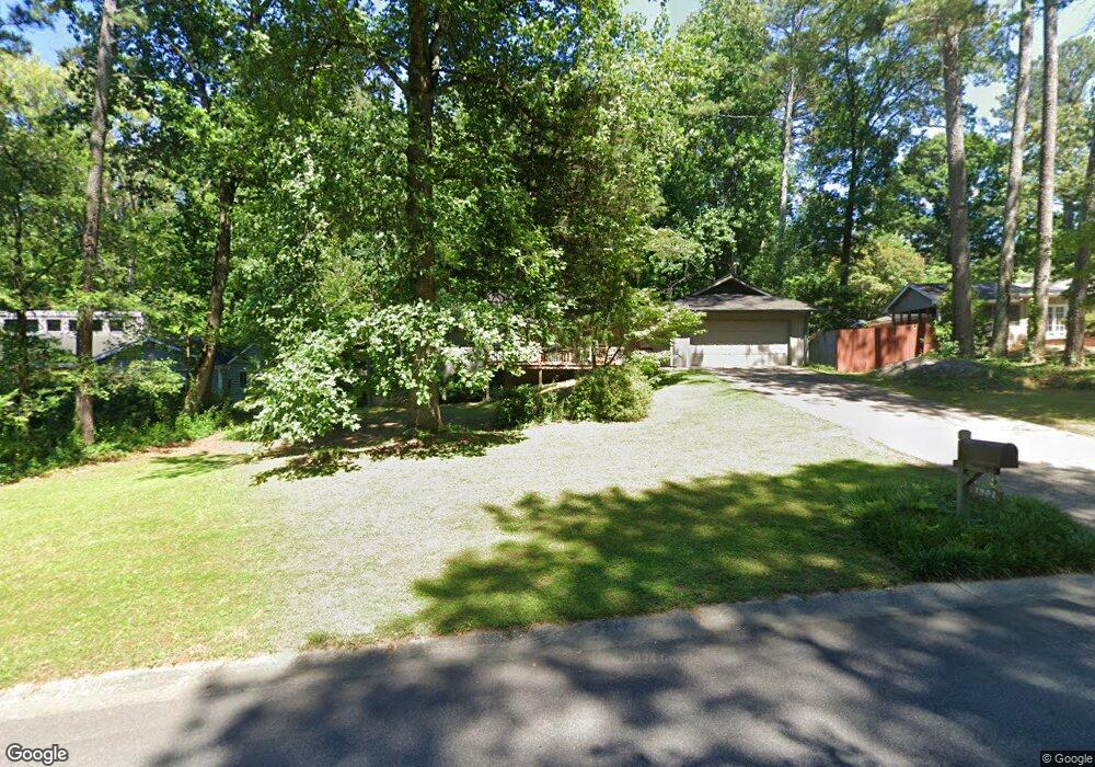
1402 E Bank Dr Unit 1 Marietta, GA 30068
East Cobb NeighborhoodEstimated Value: $572,000 - $633,000
5
Beds
3
Baths
1,979
Sq Ft
$299/Sq Ft
Est. Value
About This Home
This home is located at 1402 E Bank Dr Unit 1, Marietta, GA 30068 and is currently estimated at $591,262, approximately $298 per square foot. 1402 E Bank Dr Unit 1 is a home located in Cobb County with nearby schools including Mount Bethel Elementary School, Dickerson Middle School, and Walton High School.
Ownership History
Date
Name
Owned For
Owner Type
Purchase Details
Closed on
Feb 28, 2006
Sold by
Westbrook Terrell M and Westbrook Barbara A
Bought by
Cipperly Daniel L and Cipperly Sarah C
Current Estimated Value
Home Financials for this Owner
Home Financials are based on the most recent Mortgage that was taken out on this home.
Original Mortgage
$204,000
Outstanding Balance
$113,752
Interest Rate
6.04%
Mortgage Type
New Conventional
Estimated Equity
$477,510
Create a Home Valuation Report for This Property
The Home Valuation Report is an in-depth analysis detailing your home's value as well as a comparison with similar homes in the area
Home Values in the Area
Average Home Value in this Area
Purchase History
| Date | Buyer | Sale Price | Title Company |
|---|---|---|---|
| Cipperly Daniel L | $255,000 | -- |
Source: Public Records
Mortgage History
| Date | Status | Borrower | Loan Amount |
|---|---|---|---|
| Open | Cipperly Daniel L | $204,000 |
Source: Public Records
Tax History Compared to Growth
Tax History
| Year | Tax Paid | Tax Assessment Tax Assessment Total Assessment is a certain percentage of the fair market value that is determined by local assessors to be the total taxable value of land and additions on the property. | Land | Improvement |
|---|---|---|---|---|
| 2025 | $4,742 | $196,608 | $60,000 | $136,608 |
| 2024 | $4,472 | $183,976 | $50,000 | $133,976 |
| 2023 | $3,789 | $177,484 | $42,000 | $135,484 |
| 2022 | $4,021 | $161,792 | $40,000 | $121,792 |
| 2021 | $3,469 | $136,544 | $36,000 | $100,544 |
| 2020 | $3,262 | $127,112 | $33,200 | $93,912 |
| 2019 | $3,262 | $127,112 | $33,200 | $93,912 |
| 2018 | $3,010 | $115,584 | $29,600 | $85,984 |
| 2017 | $2,887 | $115,584 | $29,600 | $85,984 |
| 2016 | $2,819 | $112,332 | $33,600 | $78,732 |
| 2015 | $2,883 | $112,332 | $33,600 | $78,732 |
| 2014 | $2,904 | $112,332 | $0 | $0 |
Source: Public Records
Map
Nearby Homes
- 1382 Huntingford Dr Unit 2
- 5473 Heyward Square Place
- 1281 Riversound Dr
- 889 Waterford Green
- 1129 Topaz Way
- 5184 Deering Trail Unit 2
- 1294 Waterford Green Trail
- 5157 Forest Brook Pkwy
- 5122 Sapphire Dr
- 1525 Huntingford Dr
- 5617 Asheforde Ln
- 5197 Forest Brook Pkwy
- 1731 E Bank Dr
- 5409 Saint Lyonn Place
- 1720 Little Willeo Rd
- 931 New Bedford Dr
- 5150 Timber Ridge Rd
- 1412 E Bank Dr Unit 1
- 1392 E Bank Dr
- 5411 Willow Point Pkwy Unit 1
- 1422 E Bank Dr
- 5421 Willow Point Pkwy Unit 1
- 1401 E Bank Dr
- 0 Woodwind Ct Unit 8638648
- 0 Woodwind Ct Unit 8294853
- 0 Woodwind Ct Unit 8166965
- 0 Woodwind Ct
- 5381 Willow Point Pkwy
- 1423 Woodwind Ct Unit 1
- 1427 Woodwind Ct
- 5431 Willow Point Pkwy
- 1432 E Bank Dr
- 1411 E Bank Dr
- 1421 E Bank Dr
- 5400 Willow Point Pkwy
- 5441 Willow Point Pkwy
- 5410 Willow Point Pkwy