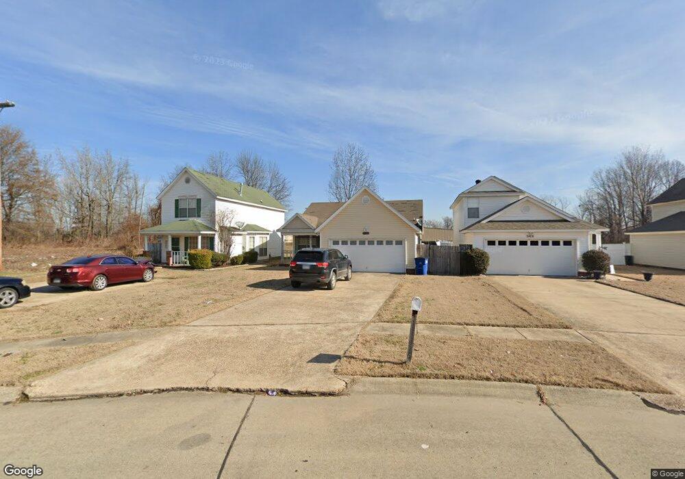
1402 Gail Ln West Memphis, AR 72301
Estimated Value: $128,000 - $145,000
2
Beds
2
Baths
1,405
Sq Ft
$97/Sq Ft
Est. Value
About This Home
This home is located at 1402 Gail Ln, West Memphis, AR 72301 and is currently estimated at $136,755, approximately $97 per square foot. 1402 Gail Ln is a home located in Crittenden County with nearby schools including Faulk Elementary School, West Junior High School, and The Academies of West Memphis Charter School.
Ownership History
Date
Name
Owned For
Owner Type
Purchase Details
Closed on
May 1, 2025
Sold by
Commissioner Of State Lands
Bought by
Andrews Cassandra and Gilliam Cassandra D
Current Estimated Value
Purchase Details
Closed on
Mar 4, 2013
Purchase Details
Closed on
Nov 23, 2012
Bought by
Federal National Mortgage Association
Purchase Details
Closed on
Aug 21, 2006
Sold by
Federal National Mortgage Asociation
Bought by
West Christopher
Purchase Details
Closed on
Apr 10, 2006
Sold by
Not Provided
Bought by
West Christopher
Purchase Details
Closed on
Jan 1, 1987
Bought by
Lackey and Lackey Sechrest
Create a Home Valuation Report for This Property
The Home Valuation Report is an in-depth analysis detailing your home's value as well as a comparison with similar homes in the area
Home Values in the Area
Average Home Value in this Area
Purchase History
| Date | Buyer | Sale Price | Title Company |
|---|---|---|---|
| Andrews Cassandra | $3,031 | None Listed On Document | |
| -- | -- | -- | |
| Federal National Mortgage Association | -- | -- | |
| West Christopher | -- | -- | |
| West Christopher | $78,277 | -- | |
| Lackey | -- | -- |
Source: Public Records
Tax History Compared to Growth
Tax History
| Year | Tax Paid | Tax Assessment Tax Assessment Total Assessment is a certain percentage of the fair market value that is determined by local assessors to be the total taxable value of land and additions on the property. | Land | Improvement |
|---|---|---|---|---|
| 2024 | $479 | $20,330 | $3,000 | $17,330 |
| 2023 | $554 | $20,330 | $3,000 | $17,330 |
| 2022 | $604 | $20,330 | $3,000 | $17,330 |
| 2021 | $604 | $20,330 | $3,000 | $17,330 |
| 2020 | $921 | $20,330 | $3,000 | $17,330 |
| 2019 | $773 | $20,450 | $3,000 | $17,450 |
| 2018 | $481 | $20,450 | $3,000 | $17,450 |
| 2017 | $481 | $20,450 | $3,000 | $17,450 |
| 2016 | $781 | $20,450 | $3,000 | $17,450 |
| 2015 | $490 | $20,450 | $3,000 | $17,450 |
| 2014 | $574 | $22,530 | $3,000 | $19,530 |
Source: Public Records
Map
Nearby Homes