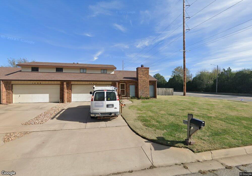
1402 N Wood Dr Wichita, KS 67212
West Wichita NeighborhoodEstimated Value: $151,000 - $195,511
3
Beds
3
Baths
1,208
Sq Ft
$143/Sq Ft
Est. Value
About This Home
This home is located at 1402 N Wood Dr, Wichita, KS 67212 and is currently estimated at $173,256, approximately $143 per square foot. 1402 N Wood Dr is a home located in Sedgwick County with nearby schools including McCollom Elementary School, Wilbur Middle School, and Wichita Northwest High School.
Ownership History
Date
Name
Owned For
Owner Type
Purchase Details
Closed on
Jan 22, 2001
Sold by
Firestone Barbara Jane
Bought by
Sneath Judy D
Current Estimated Value
Purchase Details
Closed on
Dec 15, 1998
Sold by
Russell James F and Russell Lori L
Bought by
Firestone Barbara Jane
Home Financials for this Owner
Home Financials are based on the most recent Mortgage that was taken out on this home.
Original Mortgage
$66,500
Interest Rate
6.87%
Create a Home Valuation Report for This Property
The Home Valuation Report is an in-depth analysis detailing your home's value as well as a comparison with similar homes in the area
Home Values in the Area
Average Home Value in this Area
Purchase History
| Date | Buyer | Sale Price | Title Company |
|---|---|---|---|
| Sneath Judy D | -- | Security Abstract & Title Co | |
| Firestone Barbara Jane | -- | -- |
Source: Public Records
Mortgage History
| Date | Status | Borrower | Loan Amount |
|---|---|---|---|
| Previous Owner | Firestone Barbara Jane | $66,500 |
Source: Public Records
Tax History Compared to Growth
Tax History
| Year | Tax Paid | Tax Assessment Tax Assessment Total Assessment is a certain percentage of the fair market value that is determined by local assessors to be the total taxable value of land and additions on the property. | Land | Improvement |
|---|---|---|---|---|
| 2025 | $1,805 | $17,239 | $4,980 | $12,259 |
| 2023 | $1,805 | $15,387 | $3,450 | $11,937 |
| 2022 | $1,484 | $13,617 | $3,255 | $10,362 |
| 2021 | $1,426 | $12,604 | $2,622 | $9,982 |
| 2020 | $1,431 | $12,604 | $2,622 | $9,982 |
| 2019 | $1,299 | $11,454 | $2,622 | $8,832 |
| 2018 | $1,263 | $11,121 | $1,852 | $9,269 |
| 2017 | $1,202 | $0 | $0 | $0 |
| 2016 | $1,200 | $0 | $0 | $0 |
| 2015 | $1,191 | $0 | $0 | $0 |
| 2014 | $1,167 | $0 | $0 | $0 |
Source: Public Records
Map
Nearby Homes
- 9026 W Harvest Ct
- 8930 W Suncrest St
- 9336 W Briarwood Ct
- 9221 W Suncrest St
- 1671 N Maybelle St
- 8608 W Nantucket St
- 1112 N Westfield Ave
- 1548 N Amarado Ct
- 9117 W Westport St
- 9804 W 12th St N
- 1842 N Cheryl Ct
- 9801 W 12th St N
- 1534 N Valleyview Ct
- 1736 N Amarado St
- 8301 W Aberdeen Cir
- 8803 W 18th Ct N
- 8911 W Jamesburg St
- 8205 W 16th St N
- 8117 W Aberdeen St
- 967 N Robin Rd
- 1404 N Wood Dr
- 1406 N Wood Ct
- 1408 N Wood Ct
- 1414 N Wood Ct
- 1401 N Wood Dr
- 1411 N Wood Dr
- 1416 N Wood Ct
- 1434 N Wood Ct
- 1432 N Wood Ct
- 9018 W Harvest Ct
- 9022 W Harvest Ct
- 1440 N Wood Dr
- 1438 N Wood Dr
- 1438 N Wood Dr Unit 1440 N WOOD DR
- 9054 W Harvest Ct
- 1421 N Wood Dr
- 1402 N Byron Rd
- 9050 W Harvest Ct
- 9058 W Harvest Ct
- 1408 N Byron Rd