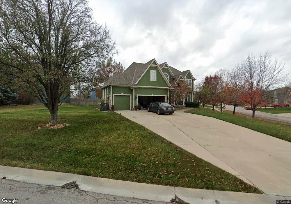
1402 Rock Creek Dr Lansing, KS 66043
Estimated Value: $446,000 - $506,000
4
Beds
5
Baths
3,234
Sq Ft
$148/Sq Ft
Est. Value
About This Home
This home is located at 1402 Rock Creek Dr, Lansing, KS 66043 and is currently estimated at $479,302, approximately $148 per square foot. 1402 Rock Creek Dr is a home located in Leavenworth County with nearby schools including Lansing Elementary School, Lansing Middle 6-8, and Lansing High 9-12.
Ownership History
Date
Name
Owned For
Owner Type
Purchase Details
Closed on
Sep 9, 2025
Sold by
Lochow Jeffrey and Lochow Helen
Bought by
Lochow Family Trust and Lochow
Current Estimated Value
Purchase Details
Closed on
May 1, 2001
Bought by
Lochow Jeffrey A and Lochow Helen
Home Financials for this Owner
Home Financials are based on the most recent Mortgage that was taken out on this home.
Original Mortgage
$103,900
Interest Rate
7.12%
Mortgage Type
New Conventional
Create a Home Valuation Report for This Property
The Home Valuation Report is an in-depth analysis detailing your home's value as well as a comparison with similar homes in the area
Home Values in the Area
Average Home Value in this Area
Purchase History
| Date | Buyer | Sale Price | Title Company |
|---|---|---|---|
| Lochow Family Trust | -- | None Listed On Document | |
| Lochow Jeffrey A | $287,500 | -- |
Source: Public Records
Mortgage History
| Date | Status | Borrower | Loan Amount |
|---|---|---|---|
| Previous Owner | Lochow Jeffrey A | $103,900 |
Source: Public Records
Tax History Compared to Growth
Tax History
| Year | Tax Paid | Tax Assessment Tax Assessment Total Assessment is a certain percentage of the fair market value that is determined by local assessors to be the total taxable value of land and additions on the property. | Land | Improvement |
|---|---|---|---|---|
| 2025 | $7,066 | $54,094 | $6,098 | $47,996 |
| 2024 | $6,798 | $52,014 | $6,098 | $45,916 |
| 2023 | $6,798 | $52,014 | $6,098 | $45,916 |
| 2022 | $6,527 | $47,219 | $5,189 | $42,030 |
| 2021 | $6,380 | $44,160 | $5,189 | $38,971 |
| 2020 | $6,065 | $41,320 | $5,189 | $36,131 |
| 2019 | $5,854 | $39,836 | $5,189 | $34,647 |
| 2018 | $5,851 | $39,836 | $5,189 | $34,647 |
| 2017 | $5,726 | $38,904 | $5,189 | $33,715 |
| 2016 | $5,729 | $38,904 | $5,189 | $33,715 |
| 2015 | $5,712 | $38,904 | $5,189 | $33,715 |
| 2014 | $5,595 | $38,904 | $5,189 | $33,715 |
Source: Public Records
Map
Nearby Homes
- 875 Clearview Dr
- 866 Clearview Dr
- 833 Rock Creek Dr
- 1322 Rock Creek Ct
- 1221 S Desoto Rd
- 922 Southfork St
- 811 4-H Rd
- 24431 139th St
- 000 4-H Rd
- 13965 Mc Intyre Rd
- 13788 McIntyre1 Rd
- 13788 Mcintyre Rd
- 13788 McIntyre2 Rd
- 527 S Valley Dr
- 401 W Olive St
- 104 Olive St
- 522 Forestglen Ln
- 202 S Main St
- 124 S Main St
- 546 Hithergreen Dr
- 1406 Rock Creek Dr
- 607 Canyon View Dr
- 1410 Rock Creek Dr
- 609 Canyon View Dr
- 1401 Rock Creek Dr
- 606 Canyon View Dr
- 1405 Rock Creek Dr
- 1409 Corey Ln
- 604 Canyon View Dr
- 608 Canyon View Dr
- 1409 Rock Creek Dr
- 611 Canyon View Dr
- 1414 Rock Creek Dr
- 1411 Corey Ln
- 1413 Rock Creek Dr
- 610 Canyon View Dr
- 205 Canyon View Dr
- 600 Canyon View Dr
- 1408 Corey Ln
- 1417 Rock Creek Dr