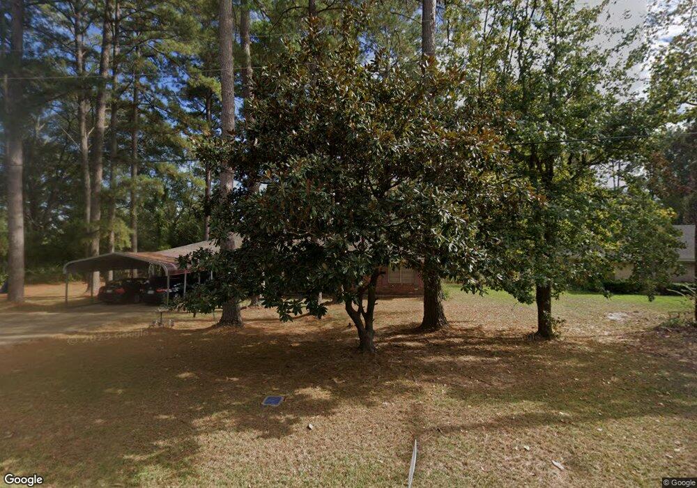
1403 Roosevelt Dr Ruston, LA 71270
Estimated Value: $166,000 - $226,000
4
Beds
2
Baths
1,800
Sq Ft
$106/Sq Ft
Est. Value
About This Home
This home is located at 1403 Roosevelt Dr, Ruston, LA 71270 and is currently estimated at $190,924, approximately $106 per square foot. 1403 Roosevelt Dr is a home located in Lincoln Parish with nearby schools including Cypress Springs Elementary School, Glen View Elementary School, and Ruston Junior High School.
Ownership History
Date
Name
Owned For
Owner Type
Purchase Details
Closed on
Jun 30, 2014
Sold by
Perry Melvin Dan and Perry Ruth R
Bought by
Johnson Anita Denise and Johnson Joe Louis
Current Estimated Value
Home Financials for this Owner
Home Financials are based on the most recent Mortgage that was taken out on this home.
Original Mortgage
$110,500
Outstanding Balance
$57,853
Interest Rate
4.19%
Mortgage Type
New Conventional
Estimated Equity
$133,071
Create a Home Valuation Report for This Property
The Home Valuation Report is an in-depth analysis detailing your home's value as well as a comparison with similar homes in the area
Purchase History
| Date | Buyer | Sale Price | Title Company |
|---|---|---|---|
| Johnson Anita Denise | $114,100 | Old Republic Natl Title Ins |
Source: Public Records
Mortgage History
| Date | Status | Borrower | Loan Amount |
|---|---|---|---|
| Open | Johnson Anita Denise | $110,500 |
Source: Public Records
Tax History
| Year | Tax Paid | Tax Assessment Tax Assessment Total Assessment is a certain percentage of the fair market value that is determined by local assessors to be the total taxable value of land and additions on the property. | Land | Improvement |
|---|---|---|---|---|
| 2025 | $1,298 | $15,205 | $2,497 | $12,708 |
| 2024 | $1,298 | $15,205 | $2,497 | $12,708 |
| 2023 | $1,115 | $12,545 | $1,476 | $11,069 |
| 2022 | $1,120 | $12,545 | $1,476 | $11,069 |
| 2021 | $1,037 | $12,545 | $1,476 | $11,069 |
| 2020 | $983 | $11,827 | $1,476 | $10,351 |
| 2019 | $993 | $12,225 | $1,476 | $10,749 |
| 2018 | $966 | $12,225 | $1,476 | $10,749 |
| 2017 | $968 | $12,225 | $1,476 | $10,749 |
| 2016 | $964 | $0 | $0 | $0 |
| 2015 | $940 | $10,941 | $1,362 | $9,579 |
| 2013 | $926 | $10,611 | $1,362 | $9,249 |
Source: Public Records
Map
Nearby Homes
- 1302 Hodges Ave
- 0 Tech Farm Rd
- 601 Robert St
- 600 Robert St
- 606 University Blvd
- 908 S Maple St
- 1702 Wade Dr
- 1704 Wade Dr
- 1502 Shelor Dr
- 405 Barber Dr
- 406 University Blvd
- 401 Barber Dr
- 2105 Franklin Ave
- 1506 Allen St
- 000 W Barnett Springs Rd
- 901 Jones St
- 207 S Maple St
- 3100 Lakeview Place
- 000 Highway 146
- 000 S Vienna St
- 1220 Tech Farm Rd
- 1405 Roosevelt Dr
- 1304 Tech Farm Rd
- 1200 Tech Farm Rd
- 1506 Roosevelt Dr
- 1508 Roosevelt Dr
- 1301 Benton St
- 1512 Roosevelt Dr
- 1504 Roosevelt Dr
- 1601 Roosevelt Dr
- 1502 Roosevelt Dr
- 1600 Roosevelt Dr
- 1305 Benton St
- 1400 Tech Farm Rd
- 1500 Roosevelt Dr
- 1603 Roosevelt Dr
- 1702 Roosevelt Dr
- 1307 Benton St
- 1404 Tech Farm Rd
- 1106 Tech Farm Rd
Your Personal Tour Guide
Ask me questions while you tour the home.