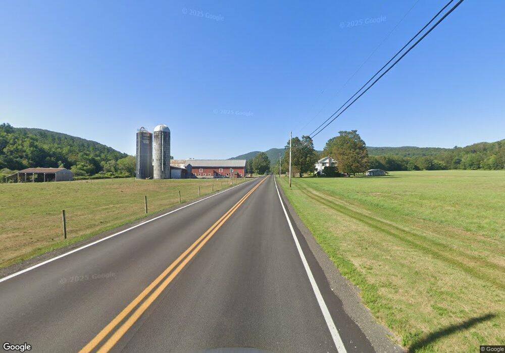
1403 Route 133 West Rutland, VT 05777
Estimated Value: $295,000 - $449,000
--
Bed
--
Bath
--
Sq Ft
12.11
Acres
About This Home
This home is located at 1403 Route 133, West Rutland, VT 05777 and is currently estimated at $378,019. 1403 Route 133 is a home located in Rutland County.
Create a Home Valuation Report for This Property
The Home Valuation Report is an in-depth analysis detailing your home's value as well as a comparison with similar homes in the area
Home Values in the Area
Average Home Value in this Area
Tax History Compared to Growth
Tax History
| Year | Tax Paid | Tax Assessment Tax Assessment Total Assessment is a certain percentage of the fair market value that is determined by local assessors to be the total taxable value of land and additions on the property. | Land | Improvement |
|---|---|---|---|---|
| 2024 | -- | $300,300 | $55,300 | $245,000 |
| 2023 | -- | $300,300 | $55,300 | $245,000 |
| 2022 | $5,783 | $300,300 | $55,300 | $245,000 |
| 2021 | $6,240 | $300,300 | $55,300 | $245,000 |
| 2020 | $6,302 | $300,300 | $55,300 | $245,000 |
| 2019 | $6,145 | $300,300 | $55,300 | $245,000 |
| 2018 | $5,549 | $306,400 | $79,700 | $226,700 |
| 2017 | $5,372 | $306,400 | $79,700 | $226,700 |
| 2016 | $5,259 | $306,400 | $79,700 | $226,700 |
Source: Public Records
Map
Nearby Homes
- 374 Pinehill Rd
- 326 Main St
- 1321 Quarterline Rd
- 23 Proctor St
- 25 Proctor St
- 127 Clarendon Springs Ln
- 469 Main St
- 90 Elm St
- 202 Scotts Rd Unit IRA
- 101 High St
- 653 Main St
- 230 Marble St
- 1186 Route 133
- 124 Flory Heights
- 888 Pleasant St
- 60 Stone Ridge Dr
- 14 Anderson St
- 260 Business Route 4
- 15 Shedd Place
- 133 Dorr Dr
- 1722 Clarendon Ave
- 1435 Route 133
- 1353 Rt 133
- 1678 Clarendon Ave
- 1279 Route 133
- 16 Gorham Rd
- 231 Gorham Rd
- 1376 Clarendon Ave
- 1035 Vermont 133
- 1450 Clarendon Ave
- 1035 Route 133
- 1383 Clarendon Ave
- Lot Hansen Dr Unit 13
- 958 Route 133
- 927 Route 133
- 1260 Clarendon Ave
- 322 Po Box
- 632 Po Box
- 927 Clarendon Rd
- 293 Maplewood Dr