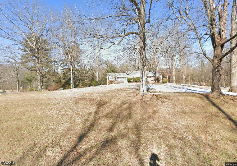
1403 Taft Hwy Unit 11 Signal Mountain, TN 37377
Estimated Value: $427,000 - $712,000
4
Beds
5
Baths
3,339
Sq Ft
$169/Sq Ft
Est. Value
About This Home
This home is located at 1403 Taft Hwy Unit 11, Signal Mountain, TN 37377 and is currently estimated at $563,879, approximately $168 per square foot. 1403 Taft Hwy Unit 11 is a home located in Hamilton County with nearby schools including Thrasher Elementary School, Signal Mountain Middle/High School, and Signal Mountain Christian School.
Ownership History
Date
Name
Owned For
Owner Type
Purchase Details
Closed on
Mar 11, 2024
Sold by
Joan Underwood Adkins Irrevocable Trust
Bought by
Sisk Jennie
Current Estimated Value
Home Financials for this Owner
Home Financials are based on the most recent Mortgage that was taken out on this home.
Original Mortgage
$255,000
Outstanding Balance
$250,806
Interest Rate
6.69%
Mortgage Type
New Conventional
Estimated Equity
$313,073
Purchase Details
Closed on
May 21, 2019
Sold by
Adkins Joan U
Bought by
Joan Underwood Adkins Irrevocable Trust
Create a Home Valuation Report for This Property
The Home Valuation Report is an in-depth analysis detailing your home's value as well as a comparison with similar homes in the area
Home Values in the Area
Average Home Value in this Area
Purchase History
| Date | Buyer | Sale Price | Title Company |
|---|---|---|---|
| Sisk Jennie | $430,000 | Hon & Kopet Title | |
| Joan Underwood Adkins Irrevocable Trust | -- | None Available |
Source: Public Records
Mortgage History
| Date | Status | Borrower | Loan Amount |
|---|---|---|---|
| Open | Sisk Jennie | $255,000 |
Source: Public Records
Tax History Compared to Growth
Tax History
| Year | Tax Paid | Tax Assessment Tax Assessment Total Assessment is a certain percentage of the fair market value that is determined by local assessors to be the total taxable value of land and additions on the property. | Land | Improvement |
|---|---|---|---|---|
| 2024 | $2,328 | $104,050 | $0 | $0 |
| 2023 | $2,328 | $104,050 | $0 | $0 |
| 2022 | $2,328 | $104,050 | $0 | $0 |
| 2021 | $2,328 | $104,050 | $0 | $0 |
| 2020 | $2,447 | $88,475 | $0 | $0 |
| 2019 | $2,447 | $88,475 | $0 | $0 |
| 2018 | $2,447 | $88,475 | $0 | $0 |
| 2017 | $2,447 | $88,475 | $0 | $0 |
| 2016 | $2,178 | $0 | $0 | $0 |
| 2015 | $2,178 | $78,775 | $0 | $0 |
| 2014 | $2,178 | $0 | $0 | $0 |
Source: Public Records
Map
Nearby Homes
- 714 Berry Spring Path
- 12 Mountain Orchard Path
- 10 Acres Majestic Oaks Dr
- 0 Majestic Oaks Dr Unit 24033570
- 1702 James Blvd
- 10 Majestic Oaks Dr
- 837 Skyline Park Dr
- 5734 U S 127
- 0 Skyline Park Dr Unit 1525124
- 848 Skyline Park Dr
- 3612 Taft Hwy
- 1305 E Brow Rd
- 1301 E Brow Rd
- 11 Saint Nicholas Way
- 185 Woodcliff Cir
- 25 Ridgerock Dr
- 1713 Timesville Rd
- 533 Fern Trail
- 1018 Ridgeway Ave
- 16 Northfield Rd
- 1403 Taft Hwy
- 1403 Taft Hwy Unit 1
- 607 Albert Rd
- 614 Miles Rd
- 616 Miles Rd
- 612 Miles Rd
- 618 Miles Rd
- 1316 Brockton Dr
- 611 Albert Rd
- 1314 Taft Hwy
- 1309 Taft Hwy
- 1314 Brockton Dr
- 1317 Brockton Dr
- 1317 Brockton Dr Unit 1
- 619 Albert Rd
- 624 Miles Rd
- 1312 Brockton Dr
- 623 Miles Rd
- 1310 Taft Hwy
- 1310 Taft Hwy