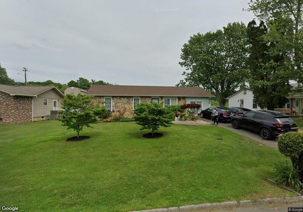
1404 Debi Cir Morristown, TN 37813
Estimated Value: $141,106 - $216,000
--
Bed
1
Bath
1,200
Sq Ft
$149/Sq Ft
Est. Value
About This Home
This home is located at 1404 Debi Cir, Morristown, TN 37813 and is currently estimated at $179,277, approximately $149 per square foot. 1404 Debi Cir is a home located in Hamblen County with nearby schools including Hillcrest Elementary School, Meadowview Middle School, and Morristown East High School.
Ownership History
Date
Name
Owned For
Owner Type
Purchase Details
Closed on
Oct 7, 2002
Sold by
Union Planters Mortgage
Bought by
Hill Vickie M
Current Estimated Value
Purchase Details
Closed on
Jun 29, 2001
Bought by
Union Planters Pmac Inc
Purchase Details
Closed on
Oct 13, 1995
Sold by
Merlin Myers
Bought by
Vogelsberg Paul
Purchase Details
Closed on
Jul 27, 1995
Sold by
Parrish Jack R and Parrish Ruth R
Bought by
Merlin Myers
Purchase Details
Closed on
May 19, 1982
Bought by
Parrish Jack and Parrish Ruth R
Purchase Details
Closed on
Sep 3, 1974
Bought by
Brooks Carl and Brooks Sue
Create a Home Valuation Report for This Property
The Home Valuation Report is an in-depth analysis detailing your home's value as well as a comparison with similar homes in the area
Home Values in the Area
Average Home Value in this Area
Purchase History
| Date | Buyer | Sale Price | Title Company |
|---|---|---|---|
| Hill Vickie M | $57,500 | -- | |
| Union Planters Pmac Inc | $97,400 | -- | |
| Vogelsberg Paul | $49,000 | -- | |
| Merlin Myers | $40,000 | -- | |
| Parrish Jack | -- | -- | |
| Brooks Carl | -- | -- |
Source: Public Records
Tax History Compared to Growth
Tax History
| Year | Tax Paid | Tax Assessment Tax Assessment Total Assessment is a certain percentage of the fair market value that is determined by local assessors to be the total taxable value of land and additions on the property. | Land | Improvement |
|---|---|---|---|---|
| 2024 | $345 | $19,625 | $3,375 | $16,250 |
| 2023 | $345 | $19,625 | $0 | $0 |
| 2022 | $620 | $19,625 | $3,375 | $16,250 |
| 2021 | $620 | $19,625 | $3,375 | $16,250 |
| 2020 | $619 | $19,625 | $3,375 | $16,250 |
| 2019 | $624 | $18,350 | $2,975 | $15,375 |
| 2018 | $578 | $18,350 | $2,975 | $15,375 |
| 2017 | $540 | $17,400 | $2,975 | $14,425 |
| 2016 | $515 | $17,400 | $2,975 | $14,425 |
| 2015 | $479 | $17,400 | $2,975 | $14,425 |
| 2014 | -- | $17,400 | $2,975 | $14,425 |
| 2013 | -- | $18,275 | $0 | $0 |
Source: Public Records
Map
Nearby Homes
- 1205 Ledford Ave
- 000 Bacon Ln
- 1200 Liberty Hall Dr
- 808 Gaston St
- 0 Russell Cir
- 0 Joe Hall Rd Unit 703714
- 819 Choctaw St
- 816 Choctaw St
- 1670 Oak St
- 915 Forgey Ave
- 98 Geneva Ln
- Lot 99 Geneva Ln
- Lot 100 Geneva Ln
- Lot 101 Geneva Ln
- 423 Hayter Dr
- 525 S Liberty Hill Rd
- 712 Williams St
- 458 Laurel St
- 460 Ash St
- 0 S Liberty Hill Rd Unit 703697
- 1400 Debi Cir
- 1408 Debi Cir
- 1344 Debi Cir
- 1401 Debi Cir
- 1405 Debi Cir
- 1340 Debi Cir
- 1223 Ledford Ave
- 1212 Ledford Ave
- 1220 Joe Hall Rd
- 1336 Debi Cir
- 1216 Joe Hall Rd
- 1335 Debi Cir
- 1219 Ledford Ave
- 1332 Debi Cir
- 1212 Joe Hall Rd
- 1329 Debi Cir
- 1215 Ledford Ave
- 1101 Bacon Ln
- 1328 Debi Cir
- 1105 Bacon Ln