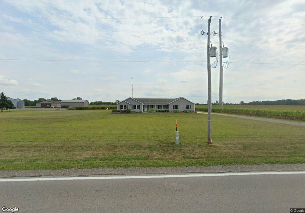
14040 State Route 67 Kenton, OH 43326
Estimated Value: $352,000 - $492,000
4
Beds
1
Bath
2,554
Sq Ft
$159/Sq Ft
Est. Value
About This Home
This home is located at 14040 State Route 67, Kenton, OH 43326 and is currently estimated at $405,295, approximately $158 per square foot. 14040 State Route 67 is a home with nearby schools including Kenton Elementary School, Kenton Middle School, and Kenton High School.
Ownership History
Date
Name
Owned For
Owner Type
Purchase Details
Closed on
Nov 8, 2013
Sold by
Turner Darryl L and Turner Nancy J
Bought by
Modd Eric J and Modd Kerri L
Current Estimated Value
Create a Home Valuation Report for This Property
The Home Valuation Report is an in-depth analysis detailing your home's value as well as a comparison with similar homes in the area
Home Values in the Area
Average Home Value in this Area
Purchase History
| Date | Buyer | Sale Price | Title Company |
|---|---|---|---|
| Modd Eric J | -- | None Available |
Source: Public Records
Tax History Compared to Growth
Tax History
| Year | Tax Paid | Tax Assessment Tax Assessment Total Assessment is a certain percentage of the fair market value that is determined by local assessors to be the total taxable value of land and additions on the property. | Land | Improvement |
|---|---|---|---|---|
| 2024 | $4,901 | $116,190 | $7,300 | $108,890 |
| 2023 | $4,901 | $116,190 | $7,300 | $108,890 |
| 2022 | $4,686 | $103,810 | $5,640 | $98,170 |
| 2021 | $4,703 | $103,810 | $5,640 | $98,170 |
| 2020 | $4,063 | $103,810 | $5,640 | $98,170 |
| 2019 | $3,233 | $86,090 | $5,430 | $80,660 |
| 2018 | $2,884 | $76,460 | $5,430 | $71,030 |
| 2017 | $2,626 | $76,460 | $5,430 | $71,030 |
| 2016 | $2,421 | $68,660 | $4,900 | $63,760 |
| 2015 | $2,386 | $68,660 | $4,900 | $63,760 |
| 2014 | $227 | $2,280 | $2,280 | $0 |
| 2013 | $51 | $0 | $0 | $0 |
Source: Public Records
Map
Nearby Homes
- 726 Tracy St
- 320 Letson Ave
- 727 S Detroit St
- 702 W Franklin St Unit 702 1/2
- 639 S Main St
- 723 W Lima St Unit 66
- 723 W Lima St Unit 1
- 0 Ohio 309
- 424 W Carrol St
- 609 W North St
- 1255 W North St Unit Lot 47
- 219 W Carrol St
- 508 Decatur St
- 510 Decatur St
- 368 N Ida St
- 121 S High St
- 310 N Market St
- 215 N Main St
- 233 N Main St
- 416 Center St
- 14180 State Route 67
- 14280 State Route 67
- 413 W Espy St
- 853 Factory Ave
- 849 Factory Ave
- 857 Factory Ave
- 875 Factory Ave
- 12908 Us Route
- 12880 Us Highway 68
- 366 W Espy St
- 1121 Fontaine St
- 12880 State Route 68
- 12862 Us Highway 68
- 12846 Us Highway 68
- 377 W Espy St
- 1123 Fontaine St
- 12836 Us Highway 68
- 371 W Espy St
- 1117 Fontaine St