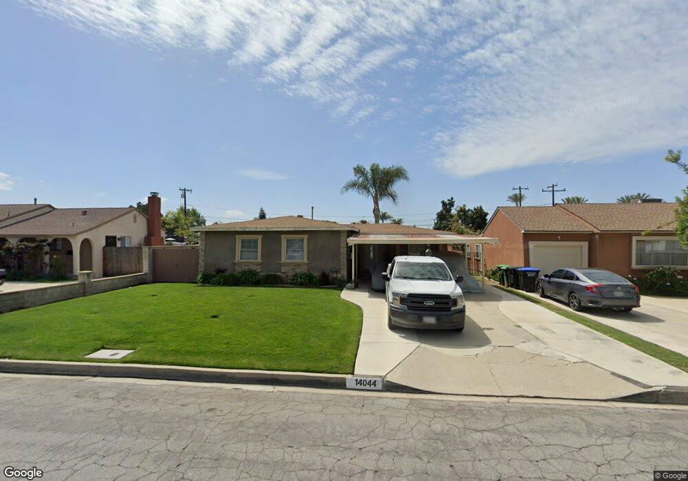
14044 Anola St Whittier, CA 90604
South Whittier NeighborhoodEstimated Value: $703,000 - $766,000
2
Beds
1
Bath
867
Sq Ft
$860/Sq Ft
Est. Value
About This Home
This home is located at 14044 Anola St, Whittier, CA 90604 and is currently estimated at $745,192, approximately $859 per square foot. 14044 Anola St is a home located in Los Angeles County with nearby schools including Ceres Elementary School, Hillview Middle School, and California High School.
Ownership History
Date
Name
Owned For
Owner Type
Purchase Details
Closed on
Nov 12, 2009
Sold by
Marquez Roy and Marquez Arlene Y
Bought by
Marquez Roy
Current Estimated Value
Purchase Details
Closed on
Nov 7, 2006
Sold by
Grijalva Edward V and Grijalva Josephine
Bought by
Marquez Roy
Home Financials for this Owner
Home Financials are based on the most recent Mortgage that was taken out on this home.
Original Mortgage
$317,500
Interest Rate
6.28%
Mortgage Type
New Conventional
Create a Home Valuation Report for This Property
The Home Valuation Report is an in-depth analysis detailing your home's value as well as a comparison with similar homes in the area
Home Values in the Area
Average Home Value in this Area
Purchase History
| Date | Buyer | Sale Price | Title Company |
|---|---|---|---|
| Marquez Roy | -- | None Available | |
| Marquez Roy | -- | North American Title Co |
Source: Public Records
Mortgage History
| Date | Status | Borrower | Loan Amount |
|---|---|---|---|
| Closed | Marquez Roy | $317,500 |
Source: Public Records
Tax History Compared to Growth
Tax History
| Year | Tax Paid | Tax Assessment Tax Assessment Total Assessment is a certain percentage of the fair market value that is determined by local assessors to be the total taxable value of land and additions on the property. | Land | Improvement |
|---|---|---|---|---|
| 2025 | $4,747 | $380,780 | $335,609 | $45,171 |
| 2024 | $4,747 | $373,315 | $329,029 | $44,286 |
| 2023 | $4,667 | $365,996 | $322,578 | $43,418 |
| 2022 | $4,567 | $358,820 | $316,253 | $42,567 |
| 2021 | $4,480 | $351,785 | $310,052 | $41,733 |
| 2019 | $4,392 | $341,353 | $300,856 | $40,497 |
| 2018 | $4,215 | $334,660 | $294,957 | $39,703 |
| 2016 | $3,996 | $321,666 | $283,504 | $38,162 |
| 2015 | $3,970 | $316,835 | $279,246 | $37,589 |
| 2014 | $3,919 | $310,629 | $273,776 | $36,853 |
Source: Public Records
Map
Nearby Homes
- 14052 Reis St
- 14146 Light St
- 14026 Light St
- 14076 Cornishcrest Rd
- 10035 Ben Hur Ave
- 10241 Ruoff Ave
- 10745 Victoria Ave Unit 6
- 10745 Victoria Ave
- 13752 Bentongrove Dr
- 14042 Hawes St
- 14518 Rimgate Dr
- 13649 Reis St
- 11102 Eagle Ln
- 13856 Mulberry Dr
- 14170 Trumball St
- 11118 Bunker Ln
- 10123 Lanett Ave
- 14033 Oval Dr
- 14520 Mulberry Dr
- 9551 Barkerville Ave