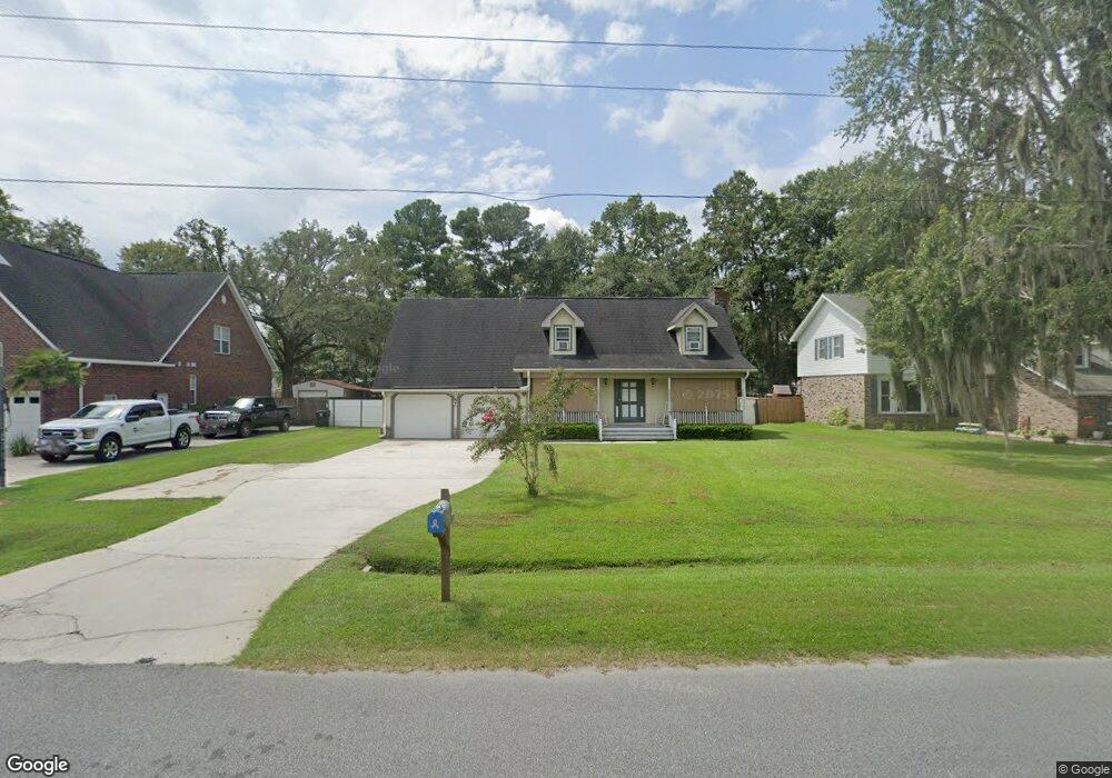
1405 Albert Storm Ave Moncks Corner, SC 29461
Estimated Value: $393,308 - $427,000
4
Beds
3
Baths
2,037
Sq Ft
$200/Sq Ft
Est. Value
About This Home
This home is located at 1405 Albert Storm Ave, Moncks Corner, SC 29461 and is currently estimated at $408,077, approximately $200 per square foot. 1405 Albert Storm Ave is a home located in Berkeley County with nearby schools including Foxbank Elementary School, Berkeley Middle School, and Berkeley High School.
Ownership History
Date
Name
Owned For
Owner Type
Purchase Details
Closed on
Jun 5, 2012
Sold by
Liferidge Larry D and Liferidge Thelma G
Bought by
Penton John D and Penton Judith K
Current Estimated Value
Home Financials for this Owner
Home Financials are based on the most recent Mortgage that was taken out on this home.
Original Mortgage
$171,000
Outstanding Balance
$118,509
Interest Rate
3.83%
Mortgage Type
Future Advance Clause Open End Mortgage
Estimated Equity
$289,568
Create a Home Valuation Report for This Property
The Home Valuation Report is an in-depth analysis detailing your home's value as well as a comparison with similar homes in the area
Home Values in the Area
Average Home Value in this Area
Purchase History
| Date | Buyer | Sale Price | Title Company |
|---|---|---|---|
| Penton John D | $180,000 | -- |
Source: Public Records
Mortgage History
| Date | Status | Borrower | Loan Amount |
|---|---|---|---|
| Open | Penton John D | $171,000 |
Source: Public Records
Tax History Compared to Growth
Tax History
| Year | Tax Paid | Tax Assessment Tax Assessment Total Assessment is a certain percentage of the fair market value that is determined by local assessors to be the total taxable value of land and additions on the property. | Land | Improvement |
|---|---|---|---|---|
| 2025 | $1,275 | $263,442 | $48,073 | $215,369 |
| 2024 | $1,199 | $10,538 | $1,923 | $8,615 |
| 2023 | $1,199 | $10,538 | $1,923 | $8,615 |
| 2022 | $1,201 | $9,163 | $1,800 | $7,363 |
| 2021 | $1,230 | $9,160 | $1,800 | $7,363 |
| 2020 | $1,245 | $9,163 | $1,800 | $7,363 |
| 2019 | $1,237 | $9,163 | $1,800 | $7,363 |
| 2018 | $1,151 | $7,968 | $1,600 | $6,368 |
| 2017 | $1,072 | $7,968 | $1,600 | $6,368 |
| 2016 | $1,096 | $7,970 | $1,600 | $6,370 |
| 2015 | $1,015 | $7,970 | $1,600 | $6,370 |
| 2014 | $1,000 | $7,970 | $1,600 | $6,370 |
| 2013 | -- | $7,970 | $1,600 | $6,370 |
Source: Public Records
Map
Nearby Homes
- 1811 Teal Rd
- 1822 Mallard Cir
- 1019 Live Oak Ave
- 1401 Churchill Rd
- 1004 Magnolia Ln
- 1004 Striper Ave
- 1613 Westminister Way
- 0 Point Comfort Rd Unit 24030382
- 0 Point Comfort Rd Unit 24030383
- 0 Point Comfort Rd Unit 24028043
- 211 Osprey Dr
- 024 Gertie Ln
- 254 Oglethorpe Cir
- 153 Willow Brook Way
- 264 Oglethorpe Cir
- 200 Oglethorpe Cir
- 143 Dixon Ln
- 223 Everwood Ct
- 612 Wayton Cir
- 417 Camellia Bloom Dr
- 1403 Albert Storm Ave
- 1407 Albert Storm Ave
- 1708 Shellcracker Ave
- 1401 Albert Storm Ave
- 1709 Trout St
- 1501 Albert Storm Ave
- 1402 Albert Storm Ave
- 1801 Canvasback Rd
- 1408 Albert Storm Ave
- 1707 Trout St
- 1307 Albert Storm Ave
- 1711 Shellcracker Ave
- 12 Albert Storm Ave
- 0 Albert Storm Ave
- 1503 Albert Storm Ave
- 1803 Canvasback Rd
- 1709 Shellcracker Ave
- 1704 Shellcracker Ave
- 1400 Albert Storm Ave
- 1705 Trout St