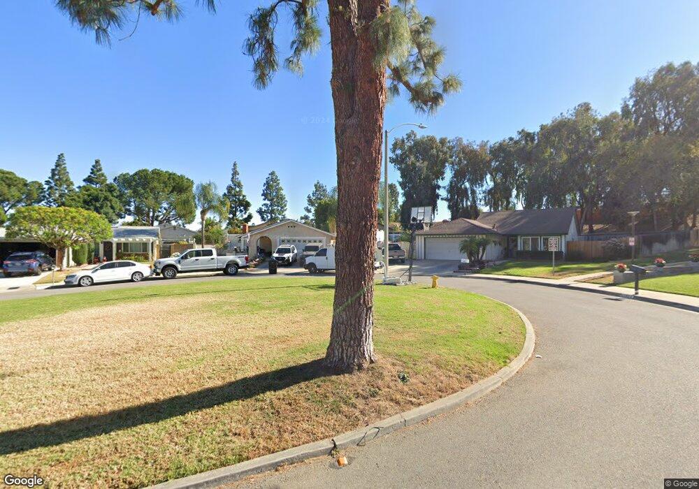
1405 Baird St Corona, CA 92882
Central Corona NeighborhoodEstimated Value: $692,000 - $723,000
About This Home
This home is located at 1405 Baird St, Corona, CA 92882 and is currently estimated at $705,912, approximately $532 per square foot. 1405 Baird St is a home located in Riverside County with nearby schools including John Adams Elementary School, Letha Raney Intermediate School, and Corona High School.
Ownership History
We collect this data history from publicly available records. To have your information removed, we recommend requesting removal directly through your county’s website.
Purchase Details
Home Financials for this Owner
Home Financials are based on the most recent Mortgage that was taken out on this home.Home Values in the Area
Average Home Value in this Area
Purchase History
We collect this data history from publicly available records. To have your information removed, we recommend requesting removal directly through your county’s website.
| Date | Buyer | Sale Price | Title Company |
|---|---|---|---|
| $119,000 | First American Title Ins Co |
Mortgage History
We collect this data history from publicly available records. To have your information removed, we recommend requesting removal directly through your county’s website.
| Date | Status | Borrower | Loan Amount |
|---|---|---|---|
| Open | $118,413 |
Tax History
We collect this data history from publicly available records. To have your information removed, we recommend requesting removal directly through your county’s website.
| Year | Tax Paid | Tax Assessment Tax Assessment Total Assessment is a certain percentage of the fair market value that is determined by local assessors to be the total taxable value of land and additions on the property. | Land | Improvement |
|---|---|---|---|---|
| 2025 | $2,447 | $225,248 | $71,829 | $153,419 |
| 2023 | $2,447 | $216,503 | $69,041 | $147,462 |
| 2022 | $2,368 | $212,259 | $67,688 | $144,571 |
| 2021 | $2,319 | $208,098 | $66,361 | $141,737 |
| 2020 | $2,294 | $205,965 | $65,681 | $140,284 |
| 2019 | $2,240 | $201,928 | $64,394 | $137,534 |
| 2018 | $1,846 | $166,970 | $63,133 | $103,837 |
| 2017 | $1,800 | $163,697 | $61,896 | $101,801 |
| 2016 | $1,782 | $160,488 | $60,683 | $99,805 |
| 2015 | $1,743 | $158,078 | $59,772 | $98,306 |
| 2014 | $1,680 | $154,983 | $58,602 | $96,381 |
Map
- 2144 Estrado Cir
- 1336 Brentwood Cir
- 2265 Mcneil Cir
- 1324 Brentwood Cir Unit B
- 1320 Brentwood Cir Unit B
- 1305 Brentwood Cir Unit D
- 1555 Border Ave Unit F
- 2393 Mesquite Ln
- 1598 Border Ave Unit H
- 2421 Mangular Ave
- 1554 Border Ave Unit B
- 1554 Border Ave Unit G
- 1518 Border Ave Unit G
- 1711 Longview Dr
- 1456 Chalgrove Dr Unit C
- 1492 Downing Ct
- 1278 Millbrook Rd
- 2288 Avenida Del Vista
- 3 Alee Cir
- 1561 Chalgrove Dr
- 2161 Newton Dr
- 2137 Newton Dr
- 2183 Newton Dr
- 2085 Newton Dr
- 2154 Valor Cir
- 2144 Valor Cir
- 2168 Newton Dr
- 2134 Valor Cir
- 2190 Newton Dr
- 2144 Newton Dr
- 2164 Valor Cir
- 2124 Valor Cir
- 2063 Newton Dr
- 2092 Newton Dr
- 2114 Valor Cir
- 1403 W Ontario Ave
- 2092 Valor Dr
- 2041 Newton Dr
- 2070 Newton Dr
- 2201 Mangular Ave
Ask me questions while you tour the home.