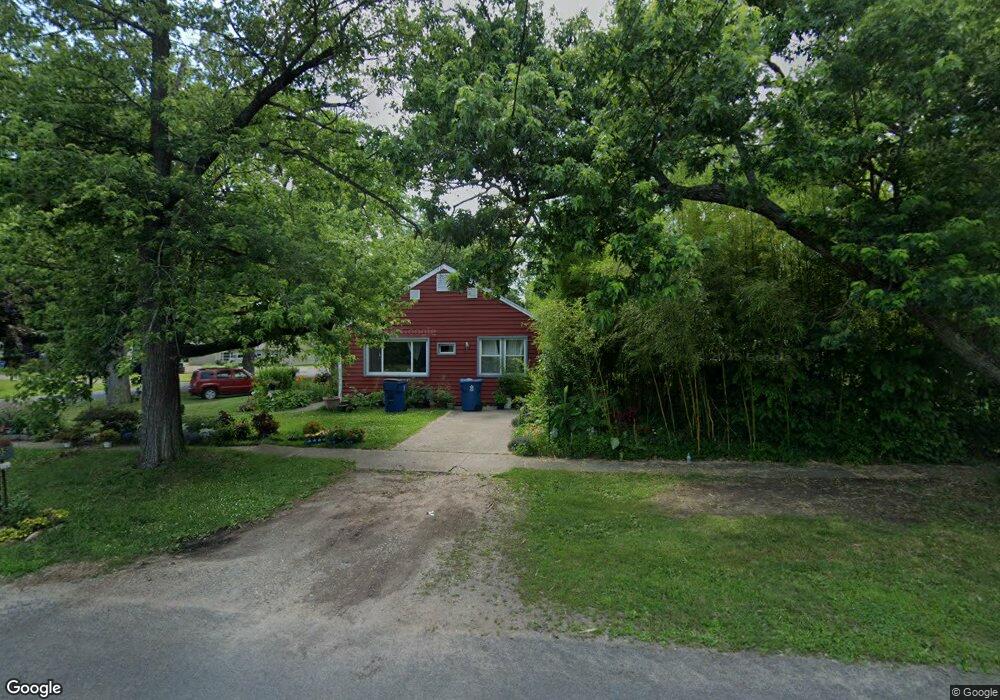
1405 Baker Dr Kalamazoo, MI 49048
Estimated Value: $215,000 - $241,000
3
Beds
2
Baths
2,397
Sq Ft
$95/Sq Ft
Est. Value
About This Home
This home is located at 1405 Baker Dr, Kalamazoo, MI 49048 and is currently estimated at $227,581, approximately $94 per square foot. 1405 Baker Dr is a home located in Kalamazoo County with nearby schools including Northeastern Elementary School, Linden Grove Middle School, and Kalamazoo Central High School.
Ownership History
Date
Name
Owned For
Owner Type
Purchase Details
Closed on
Feb 25, 2014
Sold by
Graver Bob and Graver Lisa M
Bought by
Shilts Robert and Shilts Say
Current Estimated Value
Purchase Details
Closed on
Nov 7, 2011
Sold by
Graver Bob
Bought by
Shilts Robert and Shilts Say
Purchase Details
Closed on
Nov 12, 2009
Sold by
Evinger Rebecca A
Bought by
Household Finance Corporation Iii
Purchase Details
Closed on
Feb 24, 2004
Sold by
Angerman Robert Todd
Bought by
Evinger Rebecca A
Create a Home Valuation Report for This Property
The Home Valuation Report is an in-depth analysis detailing your home's value as well as a comparison with similar homes in the area
Home Values in the Area
Average Home Value in this Area
Purchase History
| Date | Buyer | Sale Price | Title Company |
|---|---|---|---|
| Shilts Robert | $76,000 | Devon Title | |
| Shilts Robert | -- | None Available | |
| Household Finance Corporation Iii | $62,871 | None Available | |
| Evinger Rebecca A | $99,500 | Metro |
Source: Public Records
Tax History Compared to Growth
Tax History
| Year | Tax Paid | Tax Assessment Tax Assessment Total Assessment is a certain percentage of the fair market value that is determined by local assessors to be the total taxable value of land and additions on the property. | Land | Improvement |
|---|---|---|---|---|
| 2025 | $2,518 | $109,300 | $0 | $0 |
| 2024 | $484 | $92,100 | $0 | $0 |
| 2023 | $462 | $81,400 | $0 | $0 |
| 2022 | $2,289 | $75,100 | $0 | $0 |
| 2021 | $2,147 | $65,200 | $0 | $0 |
| 2020 | $2,113 | $59,600 | $0 | $0 |
| 2019 | $2,019 | $54,300 | $0 | $0 |
| 2018 | $1,969 | $46,400 | $0 | $0 |
| 2017 | $0 | $46,400 | $0 | $0 |
| 2016 | -- | $41,500 | $0 | $0 |
| 2015 | -- | $37,300 | $0 | $0 |
| 2014 | -- | $35,700 | $0 | $0 |
Source: Public Records
Map
Nearby Homes
- 1512 Upland Dr
- 1415 Upland Dr
- 1312 Sunnyside Dr
- 3221 Miami Ave
- 1727 Sunnyside Dr
- 1030 Dwillard Dr
- 1242 Nassau St
- 1320 Nazareth Rd
- 2820 Asbury Ave
- 1013 Chrysler St
- 1934 Nazareth Rd
- 925 Dayton Ave
- 2535 Gull Rd
- 2215 Brook Dr
- 3305 Kenilworth Ave
- 1008 Cooper Ave
- 905 Cooper Ave
- 2105 Gull Rd
- 5159 E Main St
- 811 Cooper Ave