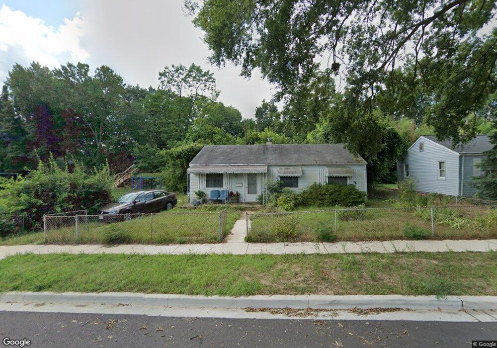
1405 Saunders Way Glen Burnie, MD 21061
Estimated Value: $232,487 - $325,000
--
Bed
1
Bath
988
Sq Ft
$279/Sq Ft
Est. Value
About This Home
This home is located at 1405 Saunders Way, Glen Burnie, MD 21061 and is currently estimated at $275,622, approximately $278 per square foot. 1405 Saunders Way is a home located in Anne Arundel County with nearby schools including Woodside Elementary School, Corkran Middle School, and Glen Burnie High School.
Ownership History
Date
Name
Owned For
Owner Type
Purchase Details
Closed on
Oct 3, 2019
Sold by
Turf Llc
Bought by
Jones Branch Ronald
Current Estimated Value
Purchase Details
Closed on
Aug 1, 2001
Sold by
Secretary Of Veterans Affairs
Bought by
Jones Branch Ronald
Purchase Details
Closed on
Jun 30, 2000
Sold by
Chase Cheri M
Bought by
Secretary Of Veterans Affairs
Purchase Details
Closed on
Apr 23, 1993
Sold by
Pardoe Ronald A
Bought by
Chase Cheri M
Home Financials for this Owner
Home Financials are based on the most recent Mortgage that was taken out on this home.
Original Mortgage
$93,656
Interest Rate
7.38%
Create a Home Valuation Report for This Property
The Home Valuation Report is an in-depth analysis detailing your home's value as well as a comparison with similar homes in the area
Home Values in the Area
Average Home Value in this Area
Purchase History
| Date | Buyer | Sale Price | Title Company |
|---|---|---|---|
| Jones Branch Ronald | $2,000 | None Available | |
| Jones Branch Ronald | $82,000 | -- | |
| Secretary Of Veterans Affairs | $84,957 | -- | |
| Chase Cheri M | $92,500 | -- |
Source: Public Records
Mortgage History
| Date | Status | Borrower | Loan Amount |
|---|---|---|---|
| Previous Owner | Chase Cheri M | $93,656 | |
| Closed | Jones Branch Ronald | -- |
Source: Public Records
Tax History Compared to Growth
Tax History
| Year | Tax Paid | Tax Assessment Tax Assessment Total Assessment is a certain percentage of the fair market value that is determined by local assessors to be the total taxable value of land and additions on the property. | Land | Improvement |
|---|---|---|---|---|
| 2025 | $2,783 | $221,300 | $142,700 | $78,600 |
| 2024 | $2,783 | $208,233 | $0 | $0 |
| 2023 | $2,605 | $195,167 | $0 | $0 |
| 2022 | $2,333 | $182,100 | $112,700 | $69,400 |
| 2021 | $0 | $178,100 | $0 | $0 |
| 2020 | $2,208 | $174,100 | $0 | $0 |
| 2019 | $2,168 | $170,100 | $102,700 | $67,400 |
| 2018 | $1,691 | $166,733 | $0 | $0 |
| 2017 | $2,048 | $163,367 | $0 | $0 |
| 2016 | -- | $160,000 | $0 | $0 |
| 2015 | -- | $151,967 | $0 | $0 |
| 2014 | -- | $143,933 | $0 | $0 |
Source: Public Records
Map
Nearby Homes
- 1003 Lee Rd
- 1612 Lorimer Rd
- 1702 Manning Rd
- 0 Irene Dr
- 405 Morningside Dr
- 8903 Jeff Mar Dr
- 1731 Saunders Way
- 8918 Twin Ridge Dr
- 1613 Kimber Rd
- 1701 Norfolk Rd
- 8906 Jeff Mar Dr
- 912 Oakwood Rd
- 301 Whitman Ct
- 1921 Norwich Rd
- 713 Cotter Rd
- 1909 Pagham Rd
- 7818 Oakwood Rd
- 822 Dale Rd
- 180 Jessica Ln
- 306 Woodleaf Ct
- 1403 Saunders Way
- 1407 Saunders Way
- 1401 Saunders Way
- 1528 Ingalls Rd
- 1429 Houghton Rd
- 1307 Saunders Way
- 1526 Ingalls Rd
- 1427 Houghton Rd
- 1501 Saunders Way
- 1305 Saunders Way
- 1531 Ingalls Rd
- 1426 Houghton Rd
- 1524 Ingalls Rd
- 1425 Houghton Rd
- 434 Arbor Dr
- 1529 Ingalls Rd
- 1503 Saunders Way
- 1303 Saunders Way
- 1424 Houghton Rd
- 1522 Ingalls Rd