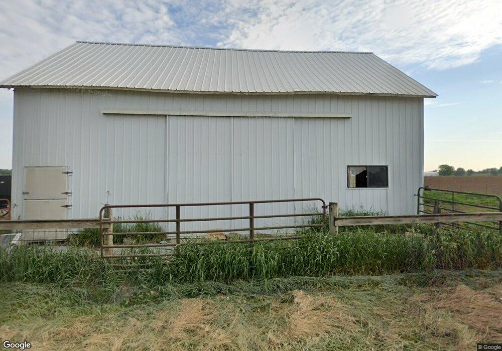
1405 W 350 S Lagrange, IN 46761
Estimated Value: $234,000 - $413,000
3
Beds
1
Bath
1,572
Sq Ft
$185/Sq Ft
Est. Value
About This Home
This home is located at 1405 W 350 S, Lagrange, IN 46761 and is currently estimated at $290,176, approximately $184 per square foot. 1405 W 350 S is a home located in LaGrange County with nearby schools including Topeka Elementary School, Westview Elementary School, and Westview Junior/Senior High School.
Ownership History
Date
Name
Owned For
Owner Type
Purchase Details
Closed on
May 14, 2025
Sold by
Brandenberger Family Revocable Living Tr and Brandenberger Reuben E
Bought by
Weaver Michael Ray and Weaver Waneta D
Current Estimated Value
Home Financials for this Owner
Home Financials are based on the most recent Mortgage that was taken out on this home.
Original Mortgage
$320,000
Outstanding Balance
$319,034
Interest Rate
7.19%
Mortgage Type
Construction
Estimated Equity
-$28,858
Purchase Details
Closed on
Mar 2, 2022
Sold by
Brandenberger Family Revocable Living Tr
Bought by
Tri-County Land Trustee Corporation
Purchase Details
Closed on
Feb 18, 2009
Sold by
Ruth E Miller
Bought by
Reuben E Brandenberger
Create a Home Valuation Report for This Property
The Home Valuation Report is an in-depth analysis detailing your home's value as well as a comparison with similar homes in the area
Home Values in the Area
Average Home Value in this Area
Purchase History
| Date | Buyer | Sale Price | Title Company |
|---|---|---|---|
| Weaver Michael Ray | -- | None Listed On Document | |
| Tri-County Land Trustee Corporation | -- | -- | |
| Reuben E Brandenberger | $130,000 | -- |
Source: Public Records
Mortgage History
| Date | Status | Borrower | Loan Amount |
|---|---|---|---|
| Open | Weaver Michael Ray | $320,000 |
Source: Public Records
Tax History Compared to Growth
Tax History
| Year | Tax Paid | Tax Assessment Tax Assessment Total Assessment is a certain percentage of the fair market value that is determined by local assessors to be the total taxable value of land and additions on the property. | Land | Improvement |
|---|---|---|---|---|
| 2024 | $1,551 | $141,500 | $31,500 | $110,000 |
| 2023 | $1,469 | $133,500 | $28,600 | $104,900 |
| 2022 | $1,297 | $120,900 | $23,800 | $97,100 |
| 2021 | $1,183 | $104,000 | $22,600 | $81,400 |
| 2020 | $1,188 | $101,900 | $22,600 | $79,300 |
| 2019 | $1,182 | $101,100 | $22,800 | $78,300 |
| 2018 | $1,224 | $103,300 | $31,000 | $72,300 |
| 2017 | $1,225 | $104,200 | $31,000 | $73,200 |
| 2016 | $1,130 | $95,400 | $29,000 | $66,400 |
| 2014 | $1,045 | $82,900 | $27,600 | $55,300 |
| 2013 | $1,045 | $83,400 | $27,600 | $55,800 |
Source: Public Records
Map
Nearby Homes
- 5755 S 075 W
- 885 W 590 S
- Lot 4 W 610 S
- 6240 S 085 W
- 245 E 100 S
- 6540 S 075 E
- 715 E 680 S
- 207 S Poplar St
- 0 Corner of Factory St & Townline Rd Unit 202541800
- 217 N Sherman St
- 914 S Detroit St
- 7070 S 080 E
- 7080 S 080 E
- 306 N 100 E
- 0 Lot B 720 S
- 737 N Canal St
- 1425 E 700 S
- 0 Lot C 720 S
- 915 N 015 E
- 7760 S 140 E