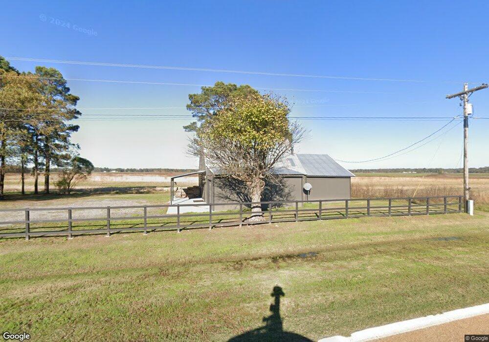
1406 Highway 152 Humphrey, AR 72073
Estimated Value: $68,000 - $163,352
--
Bed
1
Bath
1,920
Sq Ft
$56/Sq Ft
Est. Value
About This Home
This home is located at 1406 Highway 152, Humphrey, AR 72073 and is currently estimated at $107,588, approximately $56 per square foot. 1406 Highway 152 is a home located in Arkansas County with nearby schools including Dewitt Elementary School, Dewitt Middle School, and Dewitt High School.
Ownership History
Date
Name
Owned For
Owner Type
Purchase Details
Closed on
Sep 17, 2018
Sold by
Lehr Hunting Group Llc
Bought by
Ricetown Landco Llc
Current Estimated Value
Home Financials for this Owner
Home Financials are based on the most recent Mortgage that was taken out on this home.
Original Mortgage
$47,610
Interest Rate
4.6%
Mortgage Type
Future Advance Clause Open End Mortgage
Purchase Details
Closed on
Jun 27, 2010
Bought by
Hollinger Ty
Purchase Details
Closed on
Dec 15, 1980
Bought by
Inman Flores Levon and Linda Marcella
Create a Home Valuation Report for This Property
The Home Valuation Report is an in-depth analysis detailing your home's value as well as a comparison with similar homes in the area
Home Values in the Area
Average Home Value in this Area
Purchase History
| Date | Buyer | Sale Price | Title Company |
|---|---|---|---|
| Ricetown Landco Llc | $52,900 | Arkansas County Title | |
| Hollinger Ty | $4,000 | -- | |
| Inman Flores Levon | $15,000 | -- |
Source: Public Records
Mortgage History
| Date | Status | Borrower | Loan Amount |
|---|---|---|---|
| Closed | Ricetown Landco Llc | $47,610 |
Source: Public Records
Tax History Compared to Growth
Tax History
| Year | Tax Paid | Tax Assessment Tax Assessment Total Assessment is a certain percentage of the fair market value that is determined by local assessors to be the total taxable value of land and additions on the property. | Land | Improvement |
|---|---|---|---|---|
| 2025 | $725 | $15,436 | $3,640 | $11,796 |
| 2024 | $725 | $15,436 | $3,640 | $11,796 |
| 2023 | $725 | $15,436 | $3,640 | $11,796 |
| 2022 | $680 | $14,470 | $1,900 | $12,570 |
| 2021 | $680 | $14,470 | $1,900 | $12,570 |
| 2020 | $680 | $14,470 | $1,900 | $12,570 |
| 2019 | $680 | $14,470 | $1,900 | $12,570 |
| 2018 | $680 | $14,470 | $1,900 | $12,570 |
| 2017 | $630 | $13,400 | $1,000 | $12,400 |
| 2016 | $630 | $13,400 | $1,000 | $12,400 |
| 2015 | -- | $13,400 | $1,000 | $12,400 |
| 2014 | -- | $13,020 | $1,000 | $12,020 |
| 2013 | -- | $13,020 | $1,000 | $12,020 |
Source: Public Records
Map
Nearby Homes
- 000 Senning Loop
- 541 Cox Cypress Rd
- 613 Cox Cypress Rd
- 3061 Highway 79 S
- 516 S Hickory St
- 106 S Main St
- 1204 S Buerkle
- 000 Burlison Ln
- 70 Green Head Ln
- 000 Hwy 79 Hwy
- 1307 W 22nd St
- 2106 Beumer St
- 2109 Strait Place
- 2020 S Prairie St
- 2006 S Prairie St
- 1820 Beumer St
- 0 Townsend Dr
- 1912 S Lowe St
- 1905 S Spring St
- 0 Buerkle St Unit 23033391