14063 Birch Rd Grass Valley, CA 95945
Estimated Value: $210,000 - $421,000
1
Bed
2
Baths
946
Sq Ft
$340/Sq Ft
Est. Value
About This Home
This home is located at 14063 Birch Rd, Grass Valley, CA 95945 and is currently estimated at $321,997, approximately $340 per square foot. 14063 Birch Rd is a home located in Nevada County with nearby schools including Bell Hill Academy, Margaret G. Scotten Elementary School, and Lyman Gilmore Middle School.
Ownership History
Date
Name
Owned For
Owner Type
Purchase Details
Closed on
Oct 18, 2013
Sold by
Alford Carl M and Alford Linda K
Bought by
Alford Carl M and Alford Linda K
Current Estimated Value
Home Financials for this Owner
Home Financials are based on the most recent Mortgage that was taken out on this home.
Original Mortgage
$175,175
Interest Rate
4.53%
Mortgage Type
VA
Purchase Details
Closed on
Jun 26, 2002
Sold by
Alford Carl M and Alford Linda K
Bought by
Alford Carl M and Alford Linda K
Create a Home Valuation Report for This Property
The Home Valuation Report is an in-depth analysis detailing your home's value as well as a comparison with similar homes in the area
Home Values in the Area
Average Home Value in this Area
Purchase History
| Date | Buyer | Sale Price | Title Company |
|---|---|---|---|
| Alford Carl M | -- | None Available | |
| Alford Carl M | -- | None Available | |
| Alford Carl M | -- | -- |
Source: Public Records
Mortgage History
| Date | Status | Borrower | Loan Amount |
|---|---|---|---|
| Closed | Alford Carl M | $175,175 |
Source: Public Records
Tax History
| Year | Tax Paid | Tax Assessment Tax Assessment Total Assessment is a certain percentage of the fair market value that is determined by local assessors to be the total taxable value of land and additions on the property. | Land | Improvement |
|---|---|---|---|---|
| 2025 | $339 | $169,361 | $47,834 | $121,527 |
| 2024 | $357 | $166,042 | $46,897 | $119,145 |
| 2023 | $357 | $162,787 | $45,978 | $116,809 |
| 2022 | $366 | $159,596 | $45,077 | $114,519 |
| 2021 | $1,685 | $156,468 | $44,194 | $112,274 |
| 2020 | $1,684 | $154,864 | $43,741 | $111,123 |
| 2019 | $1,616 | $151,829 | $42,884 | $108,945 |
| 2018 | $1,609 | $148,853 | $42,044 | $106,809 |
| 2017 | $1,546 | $145,935 | $41,220 | $104,715 |
| 2016 | $1,491 | $143,074 | $40,412 | $102,662 |
| 2015 | $1,470 | $140,925 | $39,805 | $101,120 |
| 2014 | $1,470 | $138,166 | $39,026 | $99,140 |
Source: Public Records
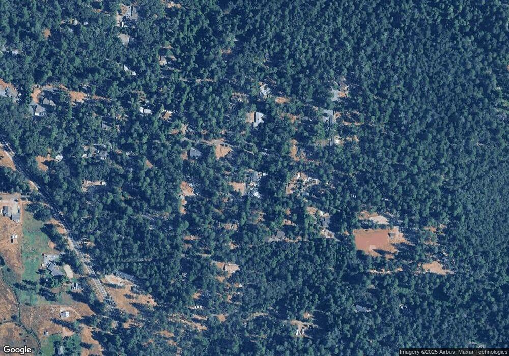
Map
Nearby Homes
- 17871 Rollins View Dr
- 19344 Louis Rd
- 14370 Rollins Park Dr
- 14551 Cattail Ln
- 15722 Lower Colfax Rd
- 14833 Quail Pointe Ln
- 16243 Behr Mountain Rd
- 14173 Tahoe View Dr
- 16303 Jewett Ln
- 14115 Tahoe View Dr
- 14008 Sontag Hill Rd
- 17414 You Bet Rd
- 14652 Carman Ct
- 13999 Fifield Rd
- 13709 Capitol Dr
- 14788 Arrowhead Mine Rd
- 14740 Orzalli Rd
- 14295 Arrowhead Mine Rd
- 14037 Arrowhead Mine Rd
- 13036 Capitol Dr
Your Personal Tour Guide
Ask me questions while you tour the home.