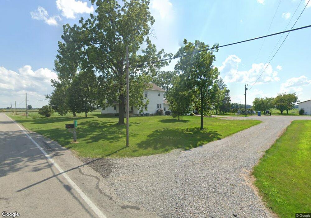
14067 County Road 20 West Unity, OH 43570
Estimated Value: $274,000 - $366,524
4
Beds
2
Baths
2,995
Sq Ft
$109/Sq Ft
Est. Value
About This Home
This home is located at 14067 County Road 20, West Unity, OH 43570 and is currently estimated at $325,881, approximately $108 per square foot. 14067 County Road 20 is a home with nearby schools including Hilltop Elementary School and Hilltop High School.
Ownership History
Date
Name
Owned For
Owner Type
Purchase Details
Closed on
Feb 27, 2019
Sold by
Wieland Larry D and Wieland Kathleen
Bought by
Wieland Brian M and Wieland Stacy A
Current Estimated Value
Purchase Details
Closed on
Dec 7, 2015
Sold by
Wieland Brian M and Wieland Stacey A
Bought by
Wieland Family Farms Llc
Purchase Details
Closed on
Nov 20, 2015
Sold by
Wieland Larry D and Wieland Kathleen M
Bought by
Wieland Brian M and Wieland Stacey A
Purchase Details
Closed on
Jan 14, 2002
Sold by
Puhl Henry J
Bought by
Wieland Brian M and Wieland Stacey
Purchase Details
Closed on
May 24, 1996
Sold by
Sottek Georgia Anne
Bought by
Moran Mary M
Purchase Details
Closed on
Jan 1, 1990
Bought by
Puhl Catherine F
Create a Home Valuation Report for This Property
The Home Valuation Report is an in-depth analysis detailing your home's value as well as a comparison with similar homes in the area
Home Values in the Area
Average Home Value in this Area
Purchase History
| Date | Buyer | Sale Price | Title Company |
|---|---|---|---|
| Wieland Brian M | -- | None Available | |
| Wieland Family Farms Llc | -- | None Available | |
| Wieland Brian M | -- | None Available | |
| Wieland Brian M | $142,000 | -- | |
| Moran Mary M | -- | -- | |
| Puhl Catherine F | -- | -- |
Source: Public Records
Tax History Compared to Growth
Tax History
| Year | Tax Paid | Tax Assessment Tax Assessment Total Assessment is a certain percentage of the fair market value that is determined by local assessors to be the total taxable value of land and additions on the property. | Land | Improvement |
|---|---|---|---|---|
| 2024 | $3,767 | $102,970 | $8,960 | $94,010 |
| 2023 | $3,767 | $77,670 | $8,020 | $69,650 |
| 2022 | $3,403 | $77,670 | $8,020 | $69,650 |
| 2021 | $3,403 | $77,670 | $8,020 | $69,650 |
| 2020 | $3,314 | $73,820 | $7,490 | $66,330 |
| 2019 | $3,295 | $73,820 | $7,490 | $66,330 |
| 2018 | $4,150 | $73,820 | $7,490 | $66,330 |
| 2017 | $2,681 | $60,690 | $7,070 | $53,620 |
| 2016 | $4,966 | $60,690 | $7,070 | $53,620 |
| 2015 | $4,081 | $134,930 | $81,310 | $53,620 |
| 2014 | $4,081 | $117,810 | $65,240 | $52,570 |
| 2013 | $3,548 | $107,240 | $65,240 | $42,000 |
Source: Public Records
Map
Nearby Homes
- 311 W Rings St
- 000 W Jackson
- 205 Taylor Dr
- 340 S Main St
- 22227 Us Highway 20a
- 0 U S 20
- 16806 US Highway 20a
- 16228 County Road N-30
- 15664 County Road K
- 14701 Us Highway 127
- 612 Cynthia Dr
- 23161 County Road Jk
- 400 W Main St
- 18 Cobblestone Rd
- 10800 South Rd
- 505 N Gorham St
- 0 St Rt 15 Unit 10001011
- 10628 Ohio 15
- 14191 Lickley Rd
- V/L E Territorial Rd
- 13903 County Road 20
- 13817 County Road 20
- 19801 County Road N30
- 14406 County Road 20
- 20462 County Road M90
- 0 County Road M
- 000 County Road M
- 13658 County Road 20
- 13661 County Road 20
- 13568 County Road 20
- 20630 County Road M90
- 14662 County Road 20
- 19120 County Road N30
- 000 Us Hwy 20a
- 20988 County Road M90