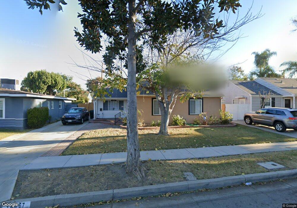
14067 La Forge St Whittier, CA 90605
South Whittier NeighborhoodEstimated Value: $565,000 - $849,000
3
Beds
2
Baths
1,643
Sq Ft
$439/Sq Ft
Est. Value
About This Home
This home is located at 14067 La Forge St, Whittier, CA 90605 and is currently estimated at $721,073, approximately $438 per square foot. 14067 La Forge St is a home located in Los Angeles County with nearby schools including Mulberry Elementary School, East Whittier Middle School, and California High School.
Ownership History
Date
Name
Owned For
Owner Type
Purchase Details
Closed on
Sep 11, 2025
Sold by
Stockton Family Living Trust and Rogers Cynthia Diane
Bought by
Briefman Megan Marie and Tellez Kurt Braden
Current Estimated Value
Home Financials for this Owner
Home Financials are based on the most recent Mortgage that was taken out on this home.
Original Mortgage
$450,000
Outstanding Balance
$449,593
Interest Rate
6.5%
Mortgage Type
New Conventional
Estimated Equity
$271,480
Create a Home Valuation Report for This Property
The Home Valuation Report is an in-depth analysis detailing your home's value as well as a comparison with similar homes in the area
Home Values in the Area
Average Home Value in this Area
Purchase History
| Date | Buyer | Sale Price | Title Company |
|---|---|---|---|
| Briefman Megan Marie | $570,000 | Lawyers Title |
Source: Public Records
Mortgage History
| Date | Status | Borrower | Loan Amount |
|---|---|---|---|
| Open | Briefman Megan Marie | $450,000 |
Source: Public Records
Tax History
| Year | Tax Paid | Tax Assessment Tax Assessment Total Assessment is a certain percentage of the fair market value that is determined by local assessors to be the total taxable value of land and additions on the property. | Land | Improvement |
|---|---|---|---|---|
| 2025 | $1,845 | $122,069 | $38,956 | $83,113 |
| 2024 | $1,845 | $119,677 | $38,193 | $81,484 |
| 2023 | $1,830 | $117,332 | $37,445 | $79,887 |
| 2022 | $1,812 | $115,032 | $36,711 | $78,321 |
| 2021 | $1,774 | $112,778 | $35,992 | $76,786 |
| 2019 | $1,758 | $109,434 | $34,925 | $74,509 |
| 2018 | $1,573 | $107,290 | $34,241 | $73,049 |
| 2016 | $1,475 | $103,125 | $32,912 | $70,213 |
| 2015 | $1,465 | $101,577 | $32,418 | $69,159 |
| 2014 | $1,461 | $99,588 | $31,783 | $67,805 |
Source: Public Records
Map
Nearby Homes
- 13935 Chestnut St
- 13840 Danbrook Dr
- 8743 Lucia Ave
- 13563 Carnell St
- 13856 Mulberry Dr
- 10035 Ben Hur Ave
- 9344 Firebird Ave
- 13833 Ramona Dr
- 10044 Ben Hur Ave
- 14021 Fernview St
- 9931 Rufus Ave
- 13448 Dunton Dr
- 14327 Emory Dr
- 14617 Montevideo Dr
- 9551 Barkerville Ave
- 14255 Broadway
- 13701 Russell St
- 8437 La Bajada Ave
- 13018 Chestnut St
- 8003 Elden Ave
- 14073 La Forge St
- 14061 La Forge St
- 14070 Carnell St
- 14079 La Forge St
- 14055 La Forge St
- 14058 Carnell St
- 14076 Carnell St
- 14068 La Forge St
- 14062 La Forge St
- 14101 La Forge St
- 14074 La Forge St
- 14051 La Forge St
- 14052 Carnell St
- 14102 Carnell St
- 14058 La Forge St
- 14080 La Forge St
- 14052 La Forge St
- 14108 Carnell St
- 14046 Carnell St
- 14043 La Forge St