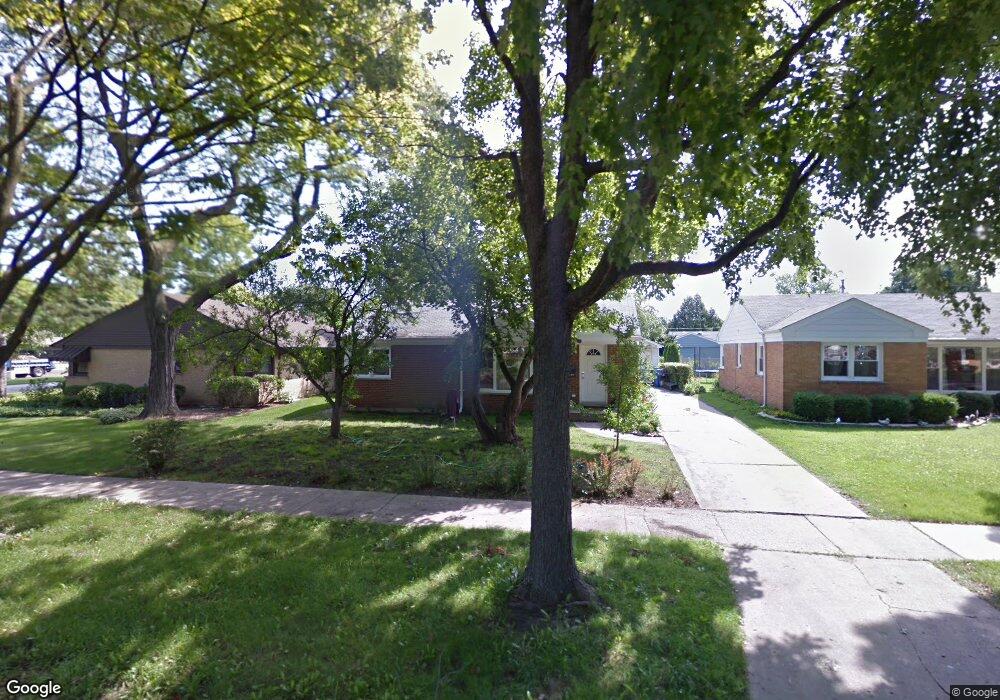
1407 Cindy Ln Des Plaines, IL 60018
Estimated Value: $340,797 - $387,000
3
Beds
1
Bath
1,053
Sq Ft
$343/Sq Ft
Est. Value
About This Home
This home is located at 1407 Cindy Ln, Des Plaines, IL 60018 and is currently estimated at $360,699, approximately $342 per square foot. 1407 Cindy Ln is a home located in Cook County with nearby schools including Forest Elementary School, Algonquin Middle School, and Maine West High School.
Ownership History
Date
Name
Owned For
Owner Type
Purchase Details
Closed on
Apr 18, 2024
Sold by
Pasierbek Piotr
Bought by
Pasierbek Piotr and Pasierbek Marek P
Current Estimated Value
Purchase Details
Closed on
Dec 20, 2010
Sold by
Tokuhisa Janet
Bought by
Pasierbek Piotr
Home Financials for this Owner
Home Financials are based on the most recent Mortgage that was taken out on this home.
Original Mortgage
$155,944
Interest Rate
4.5%
Mortgage Type
FHA
Create a Home Valuation Report for This Property
The Home Valuation Report is an in-depth analysis detailing your home's value as well as a comparison with similar homes in the area
Home Values in the Area
Average Home Value in this Area
Purchase History
| Date | Buyer | Sale Price | Title Company |
|---|---|---|---|
| Pasierbek Piotr | -- | None Listed On Document | |
| Pasierbek Piotr | $160,000 | None Available |
Source: Public Records
Mortgage History
| Date | Status | Borrower | Loan Amount |
|---|---|---|---|
| Previous Owner | Pasierbek Piotr | $155,944 |
Source: Public Records
Tax History
| Year | Tax Paid | Tax Assessment Tax Assessment Total Assessment is a certain percentage of the fair market value that is determined by local assessors to be the total taxable value of land and additions on the property. | Land | Improvement |
|---|---|---|---|---|
| 2025 | $2,709 | $33,000 | $6,534 | $26,466 |
| 2024 | $2,709 | $27,000 | $5,445 | $21,555 |
| 2023 | $2,727 | $27,000 | $5,445 | $21,555 |
| 2022 | $2,727 | $27,000 | $5,445 | $21,555 |
| 2021 | $3,172 | $17,773 | $4,537 | $13,236 |
| 2020 | $901 | $17,773 | $4,537 | $13,236 |
| 2019 | $887 | $19,970 | $4,537 | $15,433 |
| 2018 | $988 | $16,829 | $3,993 | $12,836 |
| 2017 | $4,908 | $20,083 | $3,993 | $16,090 |
| 2016 | $5,411 | $21,969 | $3,993 | $17,976 |
| 2015 | $4,044 | $16,000 | $3,448 | $12,552 |
| 2014 | $3,975 | $16,000 | $3,448 | $12,552 |
| 2013 | $3,858 | $16,000 | $3,448 | $12,552 |
Source: Public Records
Map
Nearby Homes
- 1458 Kingston Ct
- 1394 Carol Ln
- 664 E Oakton St
- 1205 S Wolf Rd
- 1164 W Grant Dr
- 1030 Bogart St
- 505 Forest Ave
- 1541 Cooper St
- 1080 Bogart St
- 1596 Oxford Rd
- 982 W Villa Dr
- 980 W Grant Dr
- 1048 E Walnut Ave
- 805 S Tures Ln
- 609 E Thacker St
- 614 Birchwood Ave
- 886 E Thacker St
- 635 Birchwood Ave
- 1509 Center St
- 23 W Algonquin Rd
Your Personal Tour Guide
Ask me questions while you tour the home.