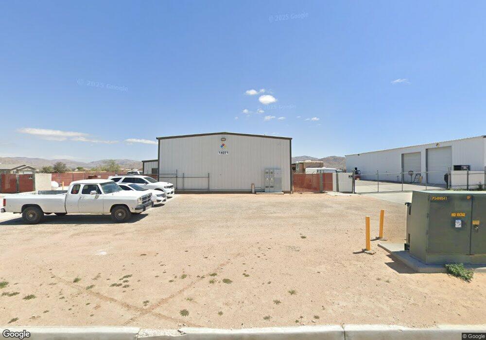
14071 Valley Dr Apple Valley, CA 92307
High Desert Neighborhood
Studio
--
Bath
3,040
Sq Ft
30,056
Sq Ft Lot
About This Home
This home is located at 14071 Valley Dr, Apple Valley, CA 92307. 14071 Valley Dr is a home located in San Bernardino County with nearby schools including Rancho Verde Elementary School and Granite Hills High School.
Ownership History
Date
Name
Owned For
Owner Type
Purchase Details
Closed on
May 20, 2020
Sold by
Klee Carol
Bought by
Thomas Steven R and Thomas Lisa M
Home Financials for this Owner
Home Financials are based on the most recent Mortgage that was taken out on this home.
Original Mortgage
$480,000
Interest Rate
2.9%
Mortgage Type
Commercial
Purchase Details
Closed on
Jun 25, 2015
Sold by
Mcallister H F
Bought by
Klee Dale
Home Financials for this Owner
Home Financials are based on the most recent Mortgage that was taken out on this home.
Original Mortgage
$340,500
Interest Rate
3.98%
Mortgage Type
Seller Take Back
Purchase Details
Closed on
Sep 24, 2001
Sold by
Mcallister Harold F
Bought by
Mcallister H F and Mcallister Valarie Lyn
Create a Home Valuation Report for This Property
The Home Valuation Report is an in-depth analysis detailing your home's value as well as a comparison with similar homes in the area
Home Values in the Area
Average Home Value in this Area
Purchase History
| Date | Buyer | Sale Price | Title Company |
|---|---|---|---|
| Thomas Steven R | $600,000 | Ticor Title | |
| Klee Dale | $475,500 | First American Title | |
| Mcallister H F | -- | -- |
Source: Public Records
Mortgage History
| Date | Status | Borrower | Loan Amount |
|---|---|---|---|
| Previous Owner | Thomas Steven R | $480,000 | |
| Previous Owner | Klee Dale | $340,500 |
Source: Public Records
Tax History
| Year | Tax Paid | Tax Assessment Tax Assessment Total Assessment is a certain percentage of the fair market value that is determined by local assessors to be the total taxable value of land and additions on the property. | Land | Improvement |
|---|---|---|---|---|
| 2025 | $3,695 | $303,081 | $54,121 | $248,960 |
| 2024 | $3,591 | $297,138 | $53,060 | $244,078 |
| 2023 | $3,558 | $291,312 | $52,020 | $239,292 |
| 2022 | $3,503 | $285,600 | $51,000 | $234,600 |
| 2021 | $3,424 | $280,000 | $50,000 | $230,000 |
| 2020 | $3,156 | $257,348 | $43,297 | $214,051 |
| 2019 | $3,420 | $252,302 | $42,448 | $209,854 |
| 2018 | $3,022 | $247,355 | $41,616 | $205,739 |
| 2017 | $3,284 | $242,505 | $40,800 | $201,705 |
| 2016 | $3,566 | $237,750 | $40,000 | $197,750 |
| 2015 | $1,278 | $106,289 | $37,734 | $68,555 |
| 2014 | $1,260 | $104,207 | $36,995 | $67,212 |
Source: Public Records
Map
Nearby Homes
- 13892 Pioneer Rd Unit 17
- 13892 Pioneer Rd Unit 29A
- 13981 Pawnee Rd
- 14344 Central Rd
- 21940 Biloxi Rd
- 21865 Dotame Ave
- 22031 Isatis Ave
- 21835 Dotame Ave
- 14455 Quinnault Rd
- 0 Isatis Ave Unit HD25088205
- 0 Pioneer Rd Unit HD26026684
- 0 Pioneer Rd Unit RS25234657
- 0 Pioneer Rd Unit HD26031732
- 0 Pioneer Rd Unit HD25263022
- 0 Pioneer Rd Unit PW23193404
- 22325 US Hwy 18 Unit 32
- 22325 US Hwy 18 Unit 47
- 22325 California 18
- 5 Acres Esaws Ave
- 14060 Osage Rd
- 14055 Valley Dr
- 22282 Esaws Ave
- 22282 Esaws Rd
- 22266 Esaws Rd
- 22232 Esaws Rd
- 22298 Esaws Rd
- 14109 Pioneer Rd
- 14137 Pioneer Rd
- 14108 Pioneer Rd
- 14167 Tu su Cir
- 22192 Esaws Rd
- 13974 Valley Dr
- 22233 Fox Ave
- 22221 Fox Ave
- 22180 Esaws Ave
- 14168 Tu su Cir
- 14177 Tu su Cir
- 14148 Pioneer Rd
- 22180 Esaws Rd
- 14015 Pioneer Rd Unit 10
Your Personal Tour Guide
Ask me questions while you tour the home.