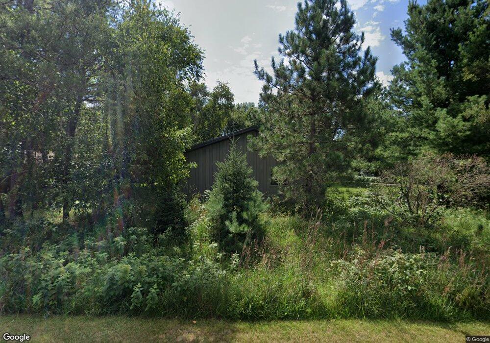
14073 Kimball Rd Crosslake, MN 56442
Estimated Value: $1,243,000 - $1,842,000
3
Beds
1
Bath
3,213
Sq Ft
$503/Sq Ft
Est. Value
About This Home
This home is located at 14073 Kimball Rd, Crosslake, MN 56442 and is currently estimated at $1,615,140, approximately $502 per square foot. 14073 Kimball Rd is a home located in Crow Wing County with nearby schools including Eagle View Elementary School, Pequot Lakes Middle School, and Pequot Lakes Senior High School.
Ownership History
Date
Name
Owned For
Owner Type
Purchase Details
Closed on
Feb 1, 2003
Sold by
Nyberg Albina A
Bought by
Arneson Nancy C
Current Estimated Value
Purchase Details
Closed on
Jan 1, 2003
Sold by
Arneson Nancy C
Bought by
Nyberg Lawrence C and Nyberg Sandra J
Purchase Details
Closed on
Jan 1, 2000
Sold by
Arneson Nancy C
Bought by
Nyberg Lawrence C
Create a Home Valuation Report for This Property
The Home Valuation Report is an in-depth analysis detailing your home's value as well as a comparison with similar homes in the area
Home Values in the Area
Average Home Value in this Area
Purchase History
| Date | Buyer | Sale Price | Title Company |
|---|---|---|---|
| Arneson Nancy C | $63,000 | -- | |
| Nyberg Lawrence C | $119,500 | -- | |
| Nyberg Lawrence C | $119,500 | -- |
Source: Public Records
Tax History Compared to Growth
Tax History
| Year | Tax Paid | Tax Assessment Tax Assessment Total Assessment is a certain percentage of the fair market value that is determined by local assessors to be the total taxable value of land and additions on the property. | Land | Improvement |
|---|---|---|---|---|
| 2025 | $10,180 | $1,705,400 | $421,600 | $1,283,800 |
| 2024 | $10,180 | $1,467,500 | $406,900 | $1,060,600 |
| 2023 | $11,504 | $1,662,400 | $455,100 | $1,207,300 |
| 2022 | $11,006 | $1,502,700 | $362,700 | $1,140,000 |
| 2021 | $10,592 | $1,121,300 | $209,800 | $911,500 |
| 2020 | $11,404 | $1,016,300 | $193,200 | $823,100 |
| 2019 | $10,786 | $1,067,800 | $183,600 | $884,200 |
| 2018 | $10,468 | $1,006,600 | $170,800 | $835,800 |
| 2017 | $10,348 | $991,200 | $166,500 | $824,700 |
| 2016 | $9,644 | $905,500 | $195,400 | $710,100 |
| 2015 | $8,466 | $821,300 | $262,300 | $559,000 |
| 2014 | $4,216 | $803,200 | $254,300 | $548,900 |
Source: Public Records
Map
Nearby Homes
- 13930 Log Landing
- 36721 County Road 66
- 36943 Sundance Loop Unit 823
- LOT 7 Retriever Rd
- 37344 Deer Ridge Dr
- 36168 Talon Trail
- 36306 Pine Bay Cir Unit 104
- 13380 Rush Harbor Dr
- TBD County Road 3
- 35533 Sand Pointe Dr Unit 6
- L1B2 Wilderness Trail
- L5B2 Wilderness Trail
- L6B2 Wilderness Trail
- 35461 Riverwood Ct Unit 44
- 36249 Johnie St
- 37639 Forest Lodge Rd
- 37804 Dream Island Rd
- TBD Wilderness Trail
- 12048 Harbor Ln
- Backlot 3 River Trail
- 36964 Brook St
- 14127 Kimball Rd
- 36916 Brook St
- 14097 Kimball Rd
- 36886 Brook St
- 0 Bunkhouse Ln Unit 3904387
- 14141 Kimball Rd
- 36868 Brook St
- 37021 Bunkhouse Rd
- 37014 Lumberjack Ln
- 13978 Daggett Bay Rd
- 37041 Bunkhouse Rd
- XXXXX Headquarters Dr S
- 37052 Lumberjack Ln
- 37010 Bunkhouse Rd
- 14068 Norway Trail
- 37051 Bunkhouse Rd
- 13989 Headquarters Dr
- 14082 Norway Trail
- 14213 Kimball Rd