Estimated Value: $7,351,000 - $21,054,172
7
Beds
8
Baths
5,900
Sq Ft
$2,092/Sq Ft
Est. Value
About This Home
This home is located at 1408 Crystal Lake Rd, Aspen, CO 81611 and is currently estimated at $12,342,043, approximately $2,091 per square foot. 1408 Crystal Lake Rd is a home located in Pitkin County with nearby schools including Aspen Elementary School, Aspen Middle School, and Aspen High School.
Ownership History
Date
Name
Owned For
Owner Type
Purchase Details
Closed on
Dec 15, 2004
Sold by
Longoria Federico and Nixon Dennis E
Bought by
Nixon Dennis E
Current Estimated Value
Home Financials for this Owner
Home Financials are based on the most recent Mortgage that was taken out on this home.
Original Mortgage
$1,430,000
Interest Rate
3.87%
Mortgage Type
Purchase Money Mortgage
Purchase Details
Closed on
Jun 23, 2003
Sold by
Longoria Ricardo E
Bought by
Nixon Longoria A and Nixon Dennis E
Create a Home Valuation Report for This Property
The Home Valuation Report is an in-depth analysis detailing your home's value as well as a comparison with similar homes in the area
Home Values in the Area
Average Home Value in this Area
Purchase History
| Date | Buyer | Sale Price | Title Company |
|---|---|---|---|
| Nixon Dennis E | $1,000,000 | Land Title Guarantee Company | |
| Nixon Longoria A | -- | -- |
Source: Public Records
Mortgage History
| Date | Status | Borrower | Loan Amount |
|---|---|---|---|
| Closed | Nixon Dennis E | $1,430,000 |
Source: Public Records
Tax History Compared to Growth
Tax History
| Year | Tax Paid | Tax Assessment Tax Assessment Total Assessment is a certain percentage of the fair market value that is determined by local assessors to be the total taxable value of land and additions on the property. | Land | Improvement |
|---|---|---|---|---|
| 2024 | $25,711 | $775,530 | $400,100 | $375,430 |
| 2023 | $25,711 | $785,760 | $405,380 | $380,380 |
| 2022 | $22,516 | $608,130 | $250,200 | $357,930 |
| 2021 | $22,420 | $625,630 | $257,400 | $368,230 |
| 2020 | $17,850 | $494,420 | $228,800 | $265,620 |
| 2019 | $17,850 | $494,420 | $228,800 | $265,620 |
| 2018 | $15,713 | $497,880 | $230,400 | $267,480 |
| 2017 | $13,873 | $430,880 | $223,200 | $207,680 |
| 2016 | $15,273 | $464,760 | $246,760 | $218,000 |
| 2015 | $15,079 | $464,760 | $246,760 | $218,000 |
| 2014 | $16,833 | $495,780 | $262,680 | $233,100 |
Source: Public Records
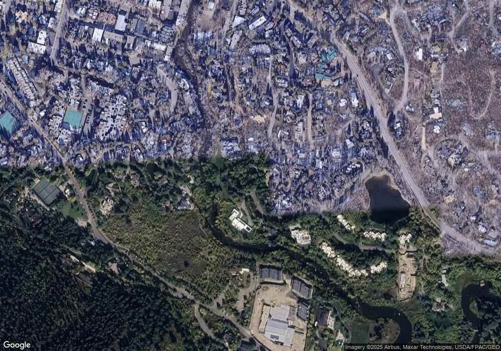
Map
Nearby Homes
- 10 Ute Place
- 1271 S Ute Ave
- 1345 Mayflower Ct
- 610 S West End St Unit D304
- 610 S West End St Unit D 206
- 610 S West End St Unit A304
- 940 Waters Ave Unit 201
- 100 Park Ave
- 926 Waters Ave Unit 203
- 927 E Durant Ave Unit 3
- 901 S Ute Ave
- 939 E Cooper Ave Unit B
- 1006 E Cooper Ave
- 1034 E Cooper Ave Unit 19A
- 1011 Ute Ave
- 851 S Ute Ave Unit B
- 450 S Original St Unit 8
- 1212 E Hopkins Ave
- 901 E Hyman Ave Unit 14
- 731 E Durant Ave Unit 21
- 1407 Crystal Lake Rd
- 1285 Riverside Dr
- 1412 Crystal Lake Rd
- 1275 Riverside Dr
- 1414 Crystal Lake Rd
- 1409 Crystal Lake Rd
- 1291 Riverside Dr Unit B
- 1410 Crystal Lake Rd
- 1295 Riverside Dr Unit A
- 1295 Riverside Dr Unit Lot B
- 1406 Crystal Lake Rd
- 1265 Riverside Dr
- 1411 Crystal Lake Rd
- 1280 S Ute Ave Unit 25
- 1280 S Ute Ave Unit 34
- 1280 S Ute Ave
- 1280 S Ute Ave Unit 7 & Storage Uni
- 1280 Riverside Dr
- 1415 Crystal Lake Rd
- 1417 Crystal Lake Rd