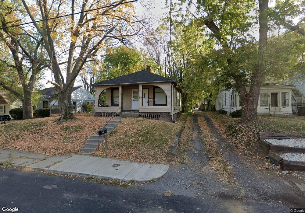
1408 N Bourland Ave Peoria, IL 61606
West Bluff NeighborhoodEstimated Value: $35,475 - $67,000
2
Beds
1
Bath
780
Sq Ft
$66/Sq Ft
Est. Value
About This Home
This home is located at 1408 N Bourland Ave, Peoria, IL 61606 and is currently estimated at $51,369, approximately $65 per square foot. 1408 N Bourland Ave is a home located in Peoria County with nearby schools including Franklin Primary School, Harold B. Dawson Jr. Middle School, and Peoria High School.
Ownership History
Date
Name
Owned For
Owner Type
Purchase Details
Closed on
Aug 22, 2025
Sold by
J & J Decatur Foundation Llc
Bought by
Lakeside Homebuyers Llc
Current Estimated Value
Purchase Details
Closed on
Jul 15, 2025
Sold by
Eac Properties Llc Series 2
Bought by
J & J Decatur Foundation Llc
Purchase Details
Closed on
Jul 11, 2025
Sold by
County Clerk Of County Of Peoria
Bought by
Eac Properties Llc Series 2
Purchase Details
Closed on
Dec 27, 2021
Sold by
Jubilee Ministries Inc
Bought by
Valle Ronald
Purchase Details
Closed on
Nov 13, 2007
Bought by
Jubilee Homes Inc
Create a Home Valuation Report for This Property
The Home Valuation Report is an in-depth analysis detailing your home's value as well as a comparison with similar homes in the area
Home Values in the Area
Average Home Value in this Area
Purchase History
| Date | Buyer | Sale Price | Title Company |
|---|---|---|---|
| Lakeside Homebuyers Llc | $17,500 | Freedom Title | |
| J & J Decatur Foundation Llc | $120,000 | None Listed On Document | |
| Eac Properties Llc Series 2 | -- | None Listed On Document | |
| Valle Ronald | -- | None Listed On Document | |
| Jubilee Homes Inc | $7,600 | -- |
Source: Public Records
Tax History Compared to Growth
Tax History
| Year | Tax Paid | Tax Assessment Tax Assessment Total Assessment is a certain percentage of the fair market value that is determined by local assessors to be the total taxable value of land and additions on the property. | Land | Improvement |
|---|---|---|---|---|
| 2024 | $561 | $6,200 | $2,680 | $3,520 |
| 2023 | $535 | $5,690 | $2,460 | $3,230 |
| 2022 | $467 | $5,330 | $2,240 | $3,090 |
| 2021 | $504 | $5,070 | $2,130 | $2,940 |
| 2020 | $503 | $5,020 | $2,110 | $2,910 |
| 2019 | $510 | $5,120 | $2,150 | $2,970 |
| 2018 | $498 | $5,110 | $2,150 | $2,960 |
| 2017 | $497 | $5,160 | $2,170 | $2,990 |
| 2016 | $484 | $5,160 | $2,170 | $2,990 |
| 2015 | $491 | $5,060 | $2,130 | $2,930 |
| 2014 | $491 | $5,330 | $2,120 | $3,210 |
| 2013 | -- | $5,400 | $2,150 | $3,250 |
Source: Public Records
Map
Nearby Homes
- 1009 W Armstrong Ave
- 1112 W Columbia Terrace
- 1402 N Broadway St
- 710 W Armstrong Ave
- 1220 N University St
- 816 W Columbia Terrace
- 1119 N Underhill St
- 911 W Russell St
- 1710 N Machin Ave
- 1410 N Douglas St
- 1224 N Douglas St
- 609 W Armstrong Ave
- 1816 N Underhill St
- 1313 N Ellis St
- 919 W Windom St
- 1312 N Ellis St
- 1403 W Main St
- 1917 N Broadway St
- 1509 W Main St
- 809 W Eleanor Place
- 1406 N Bourland Ave
- 1404 N Bourland Ave
- 1412 N Bourland Ave
- 1416 N Bourland Ave
- 1017 W Armstrong Ave
- 1014 W Chester St
- 1409 N Bourland Ave
- 1407 N Bourland Ave
- 1411 N Bourland Ave
- 1015 W Armstrong Ave
- 1405 N Bourland Ave
- 1417 N Bourland Ave
- 1016 W Armstrong Ave
- 1411 N Machin Ave
- 1009 W Armstrong Ave Unit 2
- 1014 W Armstrong Ave
- 1407 N Machin Ave
- 1012 W Armstrong Ave Unit 1012-1
- 1012 W Armstrong Ave Unit 1012-2
- 1012 W Armstrong Ave