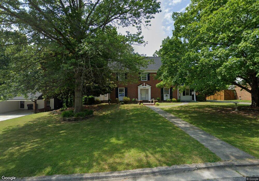
1409 Lyndhurst Dr High Point, NC 27262
Greater High Point NeighborhoodEstimated Value: $519,000 - $640,558
4
Beds
4
Baths
4,437
Sq Ft
$131/Sq Ft
Est. Value
About This Home
This home is located at 1409 Lyndhurst Dr, High Point, NC 27262 and is currently estimated at $580,519, approximately $130 per square foot. 1409 Lyndhurst Dr is a home located in Guilford County with nearby schools including Northwood Elementary School, Ferndale Middle School, and High Point Central High School.
Ownership History
Date
Name
Owned For
Owner Type
Purchase Details
Closed on
Oct 7, 2002
Sold by
Mcdonald C Eugene and Mcdonald Barbara H
Bought by
Hazelwood Rachel Jessup
Current Estimated Value
Home Financials for this Owner
Home Financials are based on the most recent Mortgage that was taken out on this home.
Original Mortgage
$211,500
Outstanding Balance
$88,994
Interest Rate
6.21%
Estimated Equity
$491,525
Purchase Details
Closed on
Aug 22, 2002
Sold by
Priddy Michael Dread and Priddy Virginia Brittle
Bought by
Mcdonald C Eugene
Home Financials for this Owner
Home Financials are based on the most recent Mortgage that was taken out on this home.
Original Mortgage
$211,500
Outstanding Balance
$88,994
Interest Rate
6.21%
Estimated Equity
$491,525
Create a Home Valuation Report for This Property
The Home Valuation Report is an in-depth analysis detailing your home's value as well as a comparison with similar homes in the area
Home Values in the Area
Average Home Value in this Area
Purchase History
| Date | Buyer | Sale Price | Title Company |
|---|---|---|---|
| Hazelwood Rachel Jessup | $235,000 | -- | |
| Mcdonald C Eugene | $177,500 | -- |
Source: Public Records
Mortgage History
| Date | Status | Borrower | Loan Amount |
|---|---|---|---|
| Open | Hazelwood Rachel Jessup | $211,500 | |
| Previous Owner | Mcdonald C Eugene | $168,625 |
Source: Public Records
Tax History
| Year | Tax Paid | Tax Assessment Tax Assessment Total Assessment is a certain percentage of the fair market value that is determined by local assessors to be the total taxable value of land and additions on the property. | Land | Improvement |
|---|---|---|---|---|
| 2025 | $4,297 | $311,800 | $60,000 | $251,800 |
| 2024 | $4,297 | $311,800 | $60,000 | $251,800 |
| 2023 | $4,297 | $311,800 | $60,000 | $251,800 |
| 2022 | $4,203 | $311,800 | $60,000 | $251,800 |
| 2021 | $3,332 | $241,800 | $30,000 | $211,800 |
| 2020 | $3,332 | $241,800 | $30,000 | $211,800 |
| 2019 | $3,332 | $241,800 | $0 | $0 |
| 2018 | $3,315 | $241,800 | $0 | $0 |
| 2017 | $3,315 | $241,800 | $0 | $0 |
| 2016 | $3,283 | $234,100 | $0 | $0 |
| 2015 | $3,301 | $234,100 | $0 | $0 |
| 2014 | $3,357 | $234,100 | $0 | $0 |
Source: Public Records
Map
Nearby Homes
- 1405 Lyndhurst Dr
- 1410 Fernwood Dr
- 1108 Gatehouse Rd
- 1122 Kensington Dr
- 2860 Saint Giles Ct
- 2893 Saint Giles Ct
- 2844 Saint Giles Ct
- 2849 Saint Giles Ct
- 1116 Ferndale Blvd
- 1042 Rockford Rd
- 1314 Hempshire Ct
- 931 Nottingham Rd
- 1200 Devlin Ct
- 2126 Chestnut Dr
- 1307 Gilbrook Ct
- 1266 Dovershire Place
- 1312 Gilbrook Ct
- 2365 Addison Blvd
- 1101 Robin Hood Rd
- 4098 Stallion St Unit Lot 76
- 1411 Lyndhurst Dr
- 1407 Lyndhurst Dr
- 1408 Sweetbriar Ct
- 1410 Sweetbriar Ct
- 1413 Lyndhurst Dr
- 1406 Sweetbriar Ct
- 1410 Lyndhurst Dr
- 1406 Lyndhurst Dr
- 1412 Sweetbriar Ct
- 1404 Lyndhurst Dr
- 1415 Lyndhurst Dr
- 1414 Lyndhurst Dr
- 1402 Wickliff Ave Unit Wickliff
- 1402 Wickliff Ave
- 1409 Sweetbriar Ct
- 1400 Wickliff Ave
- 1404 Wickliff Ave
- 1416 Lyndhurst Dr
- 1407 Sweetbriar Ct
- 1414 Sweetbriar Ct