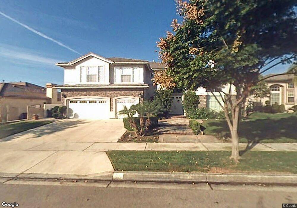
1409 N Palm Ave Upland, CA 91786
Estimated Value: $1,180,573 - $1,374,000
6
Beds
4
Baths
4,107
Sq Ft
$319/Sq Ft
Est. Value
About This Home
This home is located at 1409 N Palm Ave, Upland, CA 91786 and is currently estimated at $1,308,393, approximately $318 per square foot. 1409 N Palm Ave is a home located in San Bernardino County with nearby schools including Magnolia Elementary, Pioneer Junior High School, and Upland High School.
Ownership History
Date
Name
Owned For
Owner Type
Purchase Details
Closed on
Apr 7, 2021
Sold by
Liu Les and Wu Christy
Bought by
Liu Les I Lee and Wu Christy C
Current Estimated Value
Purchase Details
Closed on
Dec 2, 1997
Sold by
Woodbridge Upland Estates Llc
Bought by
Liu Les and Wu Christy
Home Financials for this Owner
Home Financials are based on the most recent Mortgage that was taken out on this home.
Original Mortgage
$214,600
Interest Rate
7.14%
Create a Home Valuation Report for This Property
The Home Valuation Report is an in-depth analysis detailing your home's value as well as a comparison with similar homes in the area
Home Values in the Area
Average Home Value in this Area
Purchase History
| Date | Buyer | Sale Price | Title Company |
|---|---|---|---|
| Liu Les I Lee | -- | None Available | |
| Liu Les | $375,500 | Orange Coast Title |
Source: Public Records
Mortgage History
| Date | Status | Borrower | Loan Amount |
|---|---|---|---|
| Closed | Liu Les | $214,600 |
Source: Public Records
Tax History
| Year | Tax Paid | Tax Assessment Tax Assessment Total Assessment is a certain percentage of the fair market value that is determined by local assessors to be the total taxable value of land and additions on the property. | Land | Improvement |
|---|---|---|---|---|
| 2025 | $6,447 | $588,500 | $147,055 | $441,445 |
| 2024 | $6,241 | $576,961 | $144,172 | $432,789 |
| 2023 | $6,146 | $565,648 | $141,345 | $424,303 |
| 2022 | $6,012 | $554,557 | $138,574 | $415,983 |
| 2021 | $6,081 | $543,683 | $135,857 | $407,826 |
| 2020 | $5,916 | $538,108 | $134,464 | $403,644 |
| 2019 | $5,896 | $527,556 | $131,827 | $395,729 |
| 2018 | $5,752 | $517,212 | $129,242 | $387,970 |
| 2017 | $5,586 | $507,071 | $126,708 | $380,363 |
| 2016 | $5,361 | $497,129 | $124,224 | $372,905 |
| 2015 | $5,239 | $489,662 | $122,358 | $367,304 |
| 2014 | $5,105 | $480,070 | $119,961 | $360,109 |
Source: Public Records
Map
Nearby Homes
- 1403 N Tulare Way
- 1318 N Laurel Ave
- 171 E 14th St
- 1234 N Laurel Ave
- 1270 N Euclid Ave
- 1418 Winston Ct
- 1503 N Albright Ave
- 1629 N Palm Ave
- 635 W 16th St
- 1623 N Vallejo Way
- 655 Doreen Ct
- 910 N Redding Way Unit I
- 910 N Redding Way Unit F
- 1695 N Palm Ave
- 855 N Palm Ave
- 888 Via Maria
- 1669 N San Antonio Ave
- 1019 W Pine St
- 922 N 4th Ave
- 1089 W Pine St Unit E
- 1417 N Palm Ave
- 1403 N Palm Ave
- 213 W 14th St
- 1414 N Quince Way
- 1412 N Palm Ave
- 1420 N Quince Way
- 1423 N Palm Ave
- 143 W 14th St
- 1418 N Palm Ave
- 1426 N Quince Way
- 249 W 14th St
- 1429 N Palm Ave
- 1413 N Laurel Ave
- 190 W 14th St
- 170 W 14th St
- 210 W 14th St
- 1432 N Quince Way
- 1419 N Laurel Ave
- 144 W Winslow St
- 144 W 14th St
Your Personal Tour Guide
Ask me questions while you tour the home.