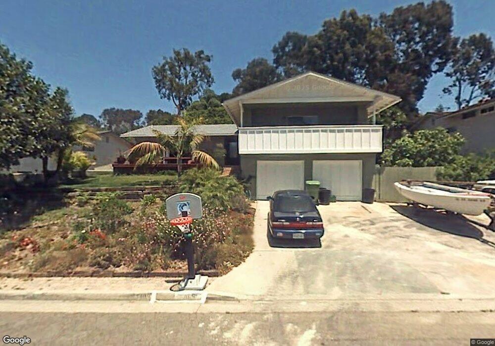
1409 Pambara Cir Oceanside, CA 92054
Fire Mountain NeighborhoodEstimated Value: $1,256,000 - $1,480,000
4
Beds
3
Baths
2,103
Sq Ft
$635/Sq Ft
Est. Value
About This Home
This home is located at 1409 Pambara Cir, Oceanside, CA 92054 and is currently estimated at $1,334,668, approximately $634 per square foot. 1409 Pambara Cir is a home located in San Diego County with nearby schools including Palmquist Elementary School, Lincoln Middle School, and Oceanside High School.
Ownership History
Date
Name
Owned For
Owner Type
Purchase Details
Closed on
Mar 5, 1991
Current Estimated Value
Purchase Details
Closed on
Aug 15, 1986
Create a Home Valuation Report for This Property
The Home Valuation Report is an in-depth analysis detailing your home's value as well as a comparison with similar homes in the area
Home Values in the Area
Average Home Value in this Area
Purchase History
| Date | Buyer | Sale Price | Title Company |
|---|---|---|---|
| -- | $229,000 | -- | |
| -- | $122,500 | -- |
Source: Public Records
Tax History Compared to Growth
Tax History
| Year | Tax Paid | Tax Assessment Tax Assessment Total Assessment is a certain percentage of the fair market value that is determined by local assessors to be the total taxable value of land and additions on the property. | Land | Improvement |
|---|---|---|---|---|
| 2025 | $6,243 | $571,987 | $289,656 | $282,331 |
| 2024 | $6,243 | $560,773 | $283,977 | $276,796 |
| 2023 | $6,049 | $549,778 | $278,409 | $271,369 |
| 2022 | $5,957 | $538,999 | $272,950 | $266,049 |
| 2021 | $5,978 | $528,432 | $267,599 | $260,833 |
| 2020 | $5,793 | $523,015 | $264,856 | $258,159 |
| 2019 | $5,624 | $512,761 | $259,663 | $253,098 |
| 2018 | $5,563 | $502,708 | $254,572 | $248,136 |
| 2017 | $5,459 | $492,852 | $249,581 | $243,271 |
| 2016 | $5,281 | $483,189 | $244,688 | $238,501 |
| 2015 | $5,126 | $475,932 | $241,013 | $234,919 |
| 2014 | $4,927 | $466,610 | $236,292 | $230,318 |
Source: Public Records
Map
Nearby Homes
- 2306 Loker Way
- 2309 Loker Way
- 2308 Loker Way
- 1520 Downs St
- Apn: 149-340-16-00
- 2315 California St
- 2363 Kenwyn St
- 2046 Ups Cir
- 2250 Oceanside Blvd
- 1870 Laurel Rd
- 552 Canyon Dr Unit 29
- 1773 Ivy Rd
- 1864 Laurel Rd
- 1711 Grandview St
- 230 Hoover St
- 1519 Kurtz St
- 506 Canyon Dr Unit 61
- 506 Canyon Dr Unit 85
- 506 Canyon Dr Unit 74
- 2743 Mesa Dr
- 1407 Pambara Cir
- 1411 Pambara Cir
- 1445 Faith Cir
- 1441 Faith Cir
- 1405 Pambara Cir
- 2204 Zabyn St
- 2206 Zabyn St
- 1447 Faith Cir
- 1410 Pambara Cir
- 1408 Pambara Cir
- 2208 Zabyn St
- 1412 Pambara Cir
- 00 Faith Cir
- 1406 Pambara Cir
- 1404 Pambara Cir
- 1403 Pambara Cir
- 2202 Zabyn St
- 1427 Avocado Rd
- 0 Faith Cir
- 1450 Faith Cir