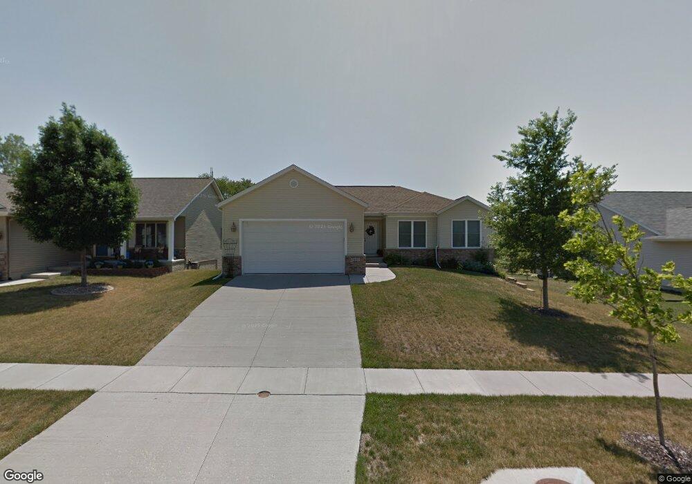
1409 Wolf Dr NW Cedar Rapids, IA 52405
Estimated Value: $305,004 - $349,000
4
Beds
3
Baths
2,134
Sq Ft
$155/Sq Ft
Est. Value
About This Home
This home is located at 1409 Wolf Dr NW, Cedar Rapids, IA 52405 and is currently estimated at $331,251, approximately $155 per square foot. 1409 Wolf Dr NW is a home located in Linn County with nearby schools including Maple Grove Elementary School, Taft Middle School, and John F. Kennedy High School.
Ownership History
Date
Name
Owned For
Owner Type
Purchase Details
Closed on
Dec 17, 2010
Sold by
Sje Ltd
Bought by
Schrader Karla
Current Estimated Value
Home Financials for this Owner
Home Financials are based on the most recent Mortgage that was taken out on this home.
Original Mortgage
$83,000
Outstanding Balance
$55,447
Interest Rate
4.44%
Mortgage Type
New Conventional
Estimated Equity
$275,804
Create a Home Valuation Report for This Property
The Home Valuation Report is an in-depth analysis detailing your home's value as well as a comparison with similar homes in the area
Purchase History
| Date | Buyer | Sale Price | Title Company |
|---|---|---|---|
| Schrader Karla | $192,500 | None Available |
Source: Public Records
Mortgage History
| Date | Status | Borrower | Loan Amount |
|---|---|---|---|
| Open | Schrader Karla | $83,000 |
Source: Public Records
Tax History
| Year | Tax Paid | Tax Assessment Tax Assessment Total Assessment is a certain percentage of the fair market value that is determined by local assessors to be the total taxable value of land and additions on the property. | Land | Improvement |
|---|---|---|---|---|
| 2025 | $4,456 | $288,900 | $47,300 | $241,600 |
| 2024 | $4,540 | $262,300 | $44,600 | $217,700 |
| 2023 | $4,540 | $262,300 | $44,600 | $217,700 |
| 2022 | $4,314 | $224,100 | $39,200 | $184,900 |
| 2021 | $4,450 | $217,200 | $33,800 | $183,400 |
| 2020 | $4,450 | $210,300 | $33,800 | $176,500 |
| 2019 | $3,954 | $192,000 | $27,000 | $165,000 |
Source: Public Records
Map
Nearby Homes
- 1211 Wolf Dr NW
- 1722 Gardner Dr NW
- 1608 Morris Ave NW
- 3802 Richland Dr NW
- 602 Olive Dr NW
- 327* Edgewood Rd NW
- 1632 Elaine Dr NW
- 3208 O Ave NW
- 410 Wiley Blvd NW
- 408 Jacolyn Dr NW
- 3547 F Ave NW
- 3407 H Ave NW
- 4520 Ford Ave NW
- 1536 Woodside Dr NW
- 3503 East Ave NW
- 281 Jacolyn Dr NW
- 332 Carter St NW
- 408 Day St NW
- 3509 E Ave NW Unit D
- 2908 Schultz Dr NW
- 1415 Wolf Dr NW
- 1403 Wolf Dr NW
- 1421 Wolf Dr NW
- 1427 Wolf Dr NW
- 1400 Bobcat Dr NW
- 1408 Wolf Dr NW
- 1319 Wolf Dr NW
- 1414 Wolf Dr NW
- 1433 Wolf Dr NW
- 1406 Bobcat Dr NW
- 1407 Grizzly Dr NW
- 1311 Wolf Dr NW
- 1420 Wolf Dr NW
- 1413 Grizzly Dr NW
- 1310 Wolf Dr NW
- 1439 Wolf Dr NW
- 4520 M Ave NW
- 4514 M Ave NW
- 1412 Bobcat Dr NW
- 4508 M Ave NW
Your Personal Tour Guide
Ask me questions while you tour the home.