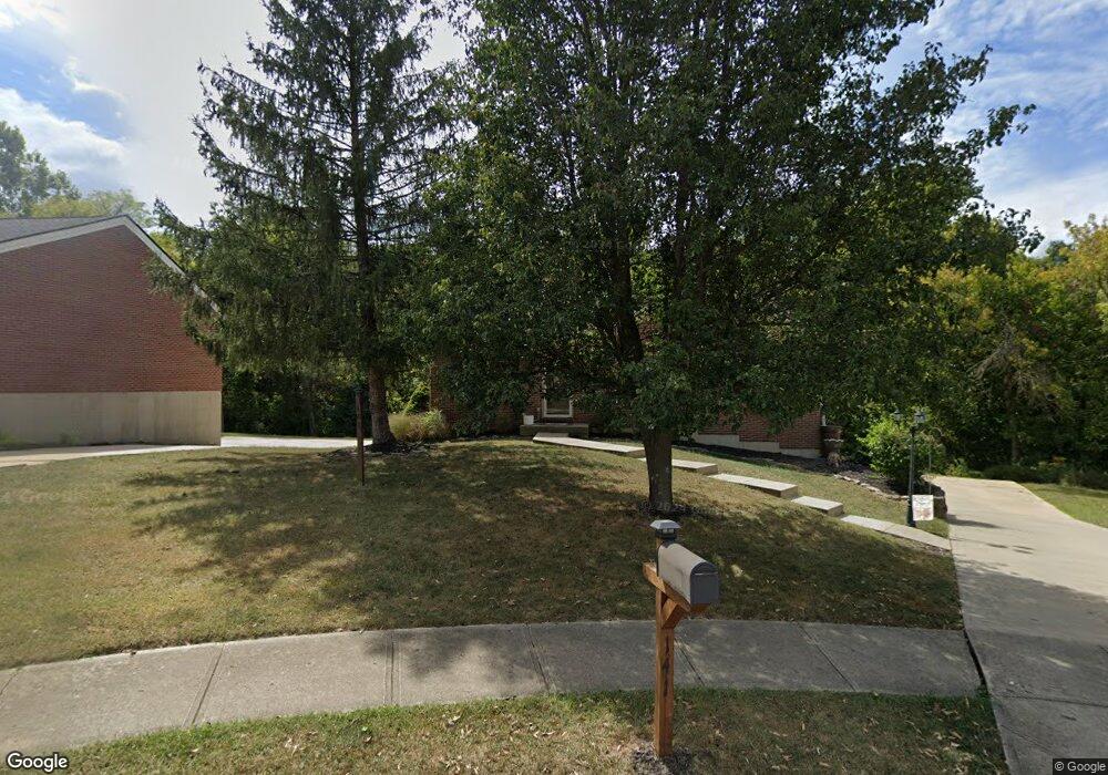
141 Carrie Way Independence, KY 41051
Estimated Value: $263,000 - $321,000
3
Beds
2
Baths
1,204
Sq Ft
$242/Sq Ft
Est. Value
About This Home
This home is located at 141 Carrie Way, Independence, KY 41051 and is currently estimated at $290,771, approximately $241 per square foot. 141 Carrie Way is a home located in Kenton County with nearby schools including Kenton Elementary School, Simon Kenton High School, and St. Cecilia Catholic School.
Ownership History
Date
Name
Owned For
Owner Type
Purchase Details
Closed on
Jan 28, 2022
Sold by
Wagner Geoffrey M and Wagner Shellee M
Bought by
Volpenhein Jacob and Taylor Kate Jacquelin
Current Estimated Value
Home Financials for this Owner
Home Financials are based on the most recent Mortgage that was taken out on this home.
Original Mortgage
$244,385
Outstanding Balance
$226,007
Interest Rate
3.22%
Mortgage Type
New Conventional
Estimated Equity
$64,764
Purchase Details
Closed on
Oct 2, 1995
Sold by
Knopp Eric
Bought by
Wagner Geoffrey and Wagner Shellee
Home Financials for this Owner
Home Financials are based on the most recent Mortgage that was taken out on this home.
Original Mortgage
$69,900
Interest Rate
7.93%
Mortgage Type
New Conventional
Create a Home Valuation Report for This Property
The Home Valuation Report is an in-depth analysis detailing your home's value as well as a comparison with similar homes in the area
Home Values in the Area
Average Home Value in this Area
Purchase History
| Date | Buyer | Sale Price | Title Company |
|---|---|---|---|
| Volpenhein Jacob | $257,250 | None Listed On Document | |
| Volpenhein Jacob | $257,250 | None Listed On Document | |
| Wagner Geoffrey | $93,900 | -- |
Source: Public Records
Mortgage History
| Date | Status | Borrower | Loan Amount |
|---|---|---|---|
| Open | Volpenhein Jacob | $244,385 | |
| Closed | Volpenhein Jacob | $244,385 | |
| Previous Owner | Wagner Geoffrey | $69,900 |
Source: Public Records
Tax History Compared to Growth
Tax History
| Year | Tax Paid | Tax Assessment Tax Assessment Total Assessment is a certain percentage of the fair market value that is determined by local assessors to be the total taxable value of land and additions on the property. | Land | Improvement |
|---|---|---|---|---|
| 2024 | $3,151 | $257,200 | $30,000 | $227,200 |
| 2023 | $3,246 | $257,200 | $30,000 | $227,200 |
| 2022 | $3,301 | $257,200 | $30,000 | $227,200 |
| 2021 | $1,871 | $141,000 | $30,000 | $111,000 |
| 2020 | $1,571 | $115,000 | $25,000 | $90,000 |
| 2019 | $1,575 | $115,000 | $25,000 | $90,000 |
| 2018 | $1,584 | $115,000 | $25,000 | $90,000 |
| 2017 | $1,541 | $115,000 | $25,000 | $90,000 |
| 2015 | $1,492 | $115,000 | $25,000 | $90,000 |
| 2014 | $1,471 | $115,000 | $25,000 | $90,000 |
Source: Public Records
Map
Nearby Homes
- 84 Sherwood Dr
- 64 Sylvan Dr
- 5151 Noble Ct
- 5234 Madison Pike
- 1365 Cairns Ct
- 9947 Meadow Glen Dr
- 10347 Petersburg Ct
- 10363 Canberra Dr
- 5118 Dana Harvey Ln
- 9972 Meadow Glen Dr
- 5238 Belle Dr
- 1199 Hatcher Ct
- 1228 Bull Run
- 10448 Canberra Dr
- 10323 Manassas Ct
- 1253 Shiloh Ct
- 10447 Canberra Dr
- 1355 Meadowcrest Cir
- 1375 Meadowcrest Cir
- 10086 Meadow Glen Dr
- 141 Carrie Way
- 137 Carrie Way
- 133 Carrie Way Dr
- 148 Carrie Way
- 133 Carrie Way
- 145 Carrie Way Dr
- 144 Carrie Way
- 140 Carrie Way
- 129 Carrie Way Dr
- 129 Carrie Way
- 144 Carrie Way Dr
- 140 Carrie Way Dr
- 132 Carrie Way
- 132 Carrie Way
- 136 Carrie Way Dr
- 125 Carrie Way Dr
- 128 Carrie Way
- 123 Carrie Way Dr
- 124 Carrie Way
- 124 Carrie Way