141 Columbine Rd Gunnison, CO 81230
Estimated Value: $794,915 - $938,000
3
Beds
4
Baths
2,218
Sq Ft
$384/Sq Ft
Est. Value
About This Home
This home is located at 141 Columbine Rd, Gunnison, CO 81230 and is currently estimated at $850,979, approximately $383 per square foot. 141 Columbine Rd is a home located in Gunnison County with nearby schools including Gunnison Elementary School, Gunnison Middle School, and Crested Butte Community School.
Ownership History
Date
Name
Owned For
Owner Type
Purchase Details
Closed on
Sep 19, 2006
Sold by
Slates Thayer S
Bought by
Cartwright Timothy L
Current Estimated Value
Home Financials for this Owner
Home Financials are based on the most recent Mortgage that was taken out on this home.
Original Mortgage
$260,000
Outstanding Balance
$154,432
Interest Rate
6.47%
Mortgage Type
New Conventional
Estimated Equity
$696,547
Purchase Details
Closed on
Mar 21, 2005
Sold by
Hee Miles C Van and Hee Tonya Z Van
Bought by
Slates Thayer S
Home Financials for this Owner
Home Financials are based on the most recent Mortgage that was taken out on this home.
Original Mortgage
$239,600
Interest Rate
5.66%
Mortgage Type
Purchase Money Mortgage
Purchase Details
Closed on
Jun 9, 1999
Sold by
Murchison Gordon
Bought by
Vanhee Miles C
Purchase Details
Closed on
May 11, 1998
Sold by
Graham Eugene
Bought by
Murchison Gordon
Create a Home Valuation Report for This Property
The Home Valuation Report is an in-depth analysis detailing your home's value as well as a comparison with similar homes in the area
Home Values in the Area
Average Home Value in this Area
Purchase History
| Date | Buyer | Sale Price | Title Company |
|---|---|---|---|
| Cartwright Timothy L | $325,000 | None Available | |
| Slates Thayer S | $299,500 | None Available | |
| Vanhee Miles C | $200,000 | -- | |
| Murchison Gordon | $23,000 | -- |
Source: Public Records
Mortgage History
| Date | Status | Borrower | Loan Amount |
|---|---|---|---|
| Open | Cartwright Timothy L | $260,000 | |
| Previous Owner | Slates Thayer S | $239,600 |
Source: Public Records
Tax History Compared to Growth
Tax History
| Year | Tax Paid | Tax Assessment Tax Assessment Total Assessment is a certain percentage of the fair market value that is determined by local assessors to be the total taxable value of land and additions on the property. | Land | Improvement |
|---|---|---|---|---|
| 2024 | $1,803 | $37,920 | $8,740 | $29,180 |
| 2023 | $1,803 | $34,240 | $7,890 | $26,350 |
| 2022 | $1,939 | $32,150 | $4,980 | $27,170 |
| 2021 | $1,751 | $33,090 | $5,130 | $27,960 |
| 2020 | $1,538 | $27,440 | $4,580 | $22,860 |
| 2019 | $1,504 | $27,440 | $4,580 | $22,860 |
| 2018 | $1,394 | $24,740 | $2,720 | $22,020 |
| 2017 | $1,411 | $24,740 | $2,720 | $22,020 |
| 2016 | $1,356 | $23,860 | $2,850 | $21,010 |
| 2015 | $540 | $23,860 | $2,850 | $21,010 |
| 2014 | $540 | $18,770 | $3,350 | $15,420 |
Source: Public Records
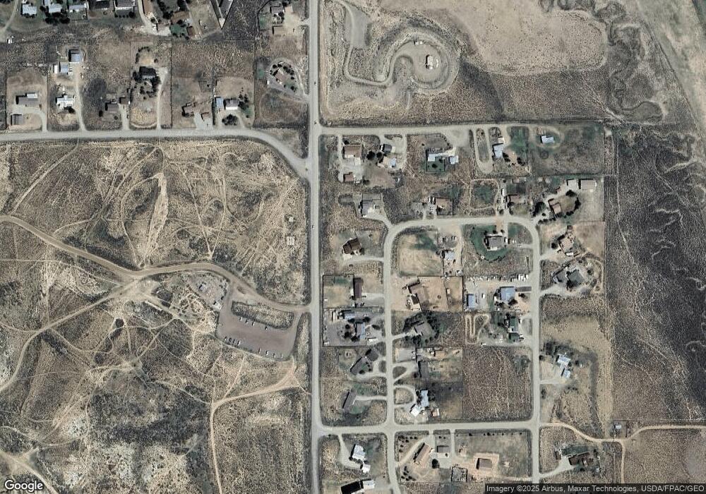
Map
Nearby Homes
- 388 Columbine Rd
- 244 Crocus Rd
- 120 Tomichi Creek Loop
- 300 Tomichi Creek Loop
- 96 Tomichi Creek Loop
- 71 Tomichi Creek Loop
- 1080 Fairway Ln
- 909 Fairway Ln
- 945 Fairway Ln
- 169 Camino Del Rio Unit 8
- 100 Camino Del Rio Unit 13
- 37480 US Highway 50 Unit 7
- 133 Park Dr
- 137 Park Dr
- 700 U S 50
- 706 Andrew Ln
- 300 Bevington Rd
- Lots 13-16 Us Highway 50 Frontage Rd
- 417 S Boulevard St Unit B
- 301 S 2nd St Unit 68
- 107 Columbine Rd
- 177 Columbine Rd
- 73 Columbine Rd
- 106 Columbine Rd
- 64 Yucca Ct
- 212 Columbine Rd
- 213 Columbine Rd
- 32 Yucca Ct
- 72 Columbine Rd
- 49 Columbine Rd
- 96 Yucca Ct
- 96 Yucca Ct Unit Views of Carbon, Fla
- 48 Columbine Rd
- 248 Columbine Rd
- 372 Columbine Rd
- 17 Columbine Rd
- 18 Columbine Rd
- 249 Columbine Rd
- 0 Yucca Ct Unit Views of Carbon, Fla
- 0 Yucca Ct