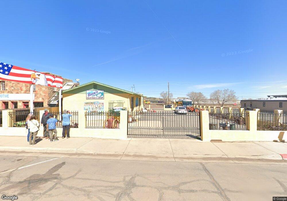
141 E Route 66 Williams, AZ 86046
Estimated Value: $715,380
Studio
--
Bath
11,644
Sq Ft
$61/Sq Ft
Est. Value
About This Home
This home is located at 141 E Route 66, Williams, AZ 86046 and is currently estimated at $715,380, approximately $61 per square foot. 141 E Route 66 is a home located in Coconino County with nearby schools including Williams Elementary/Middle School, Williams High School, and Heritage Elementary - Williams.
Ownership History
Date
Name
Owned For
Owner Type
Purchase Details
Closed on
Oct 20, 2016
Sold by
Otero George and Otero Marie
Bought by
Purdy Forrest and Purdy Janice Marie
Current Estimated Value
Purchase Details
Closed on
May 2, 2013
Sold by
Double A Holdings Llc
Bought by
Otero George and Otero Marie
Home Financials for this Owner
Home Financials are based on the most recent Mortgage that was taken out on this home.
Original Mortgage
$108,000
Interest Rate
3.54%
Mortgage Type
Seller Take Back
Purchase Details
Closed on
Jun 1, 2011
Sold by
Sandoval Eddie P and Sandoval Carolyn
Bought by
Double A Holdings Llc
Home Financials for this Owner
Home Financials are based on the most recent Mortgage that was taken out on this home.
Original Mortgage
$175,000
Interest Rate
4.63%
Mortgage Type
Seller Take Back
Create a Home Valuation Report for This Property
The Home Valuation Report is an in-depth analysis detailing your home's value as well as a comparison with similar homes in the area
Home Values in the Area
Average Home Value in this Area
Purchase History
| Date | Buyer | Sale Price | Title Company |
|---|---|---|---|
| Purdy Forrest | $187,326 | Pioneer Title Agency | |
| Otero George | $295,000 | Pioneer Title Agency Inc | |
| Double A Holdings Llc | $250,000 | Pioneer Title Agency Inc |
Source: Public Records
Mortgage History
| Date | Status | Borrower | Loan Amount |
|---|---|---|---|
| Previous Owner | Otero George | $108,000 | |
| Previous Owner | Double A Holdings Llc | $175,000 |
Source: Public Records
Tax History
| Year | Tax Paid | Tax Assessment Tax Assessment Total Assessment is a certain percentage of the fair market value that is determined by local assessors to be the total taxable value of land and additions on the property. | Land | Improvement |
|---|---|---|---|---|
| 2025 | $3,436 | $52,061 | -- | -- |
| 2024 | $3,436 | $50,614 | -- | -- |
| 2023 | $3,440 | $43,082 | $0 | $0 |
| 2022 | $3,366 | $39,764 | $0 | $0 |
| 2021 | $3,385 | $39,553 | $0 | $0 |
| 2020 | $3,316 | $36,541 | $0 | $0 |
| 2019 | $3,294 | $35,626 | $0 | $0 |
| 2018 | $3,331 | $35,451 | $0 | $0 |
| 2017 | $3,302 | $34,167 | $0 | $0 |
| 2016 | $3,271 | $34,057 | $0 | $0 |
| 2015 | $3,316 | $34,335 | $0 | $0 |
Source: Public Records
Map
Nearby Homes
- 500 Grand Canyon Ave
- 241 W Grant Ave
- 401 S 1st St
- 218 E Edison Ave
- 304 S 4th St
- 410 N Locust St Unit 18
- 407 S 4th St
- 725 N Humbolt St
- 500 W Meade Ave
- 215 W Hancock Ave
- 701 N Airport Rd
- 407 S 7th St
- 1124 N Grand Canyon Blvd Unit C
- 1105 W Morse Ave
- 920 W Sheridan Ave
- 118 Pinecrest Trail
- 162 Pinecrest Trail
- 216 Pinecrest Trail
- 217 Pinecrest Trail
- 911 W Oak St
- 141 E 66 Route
- 132 E Bill Williams Ave
- 117 E Route 66
- 201 E Route 66
- 134 E Route 66
- 128 E Route 66
- 214 E Bill Williams Ave
- 219 E Route 66
- 0 N No Name Unit 1022811
- 10 Grand Canyon Sub
- 10 Grand Canyon Subdivision
- 112 S Taber St
- 102 N 1st St
- 111 S Taber St
- 235 E Route 66
- 109 W Railroad Ave
- 134 W Route 66
- 128 S Taber St
- 102 S 1st St Unit D
- 102 S 1st St Unit C