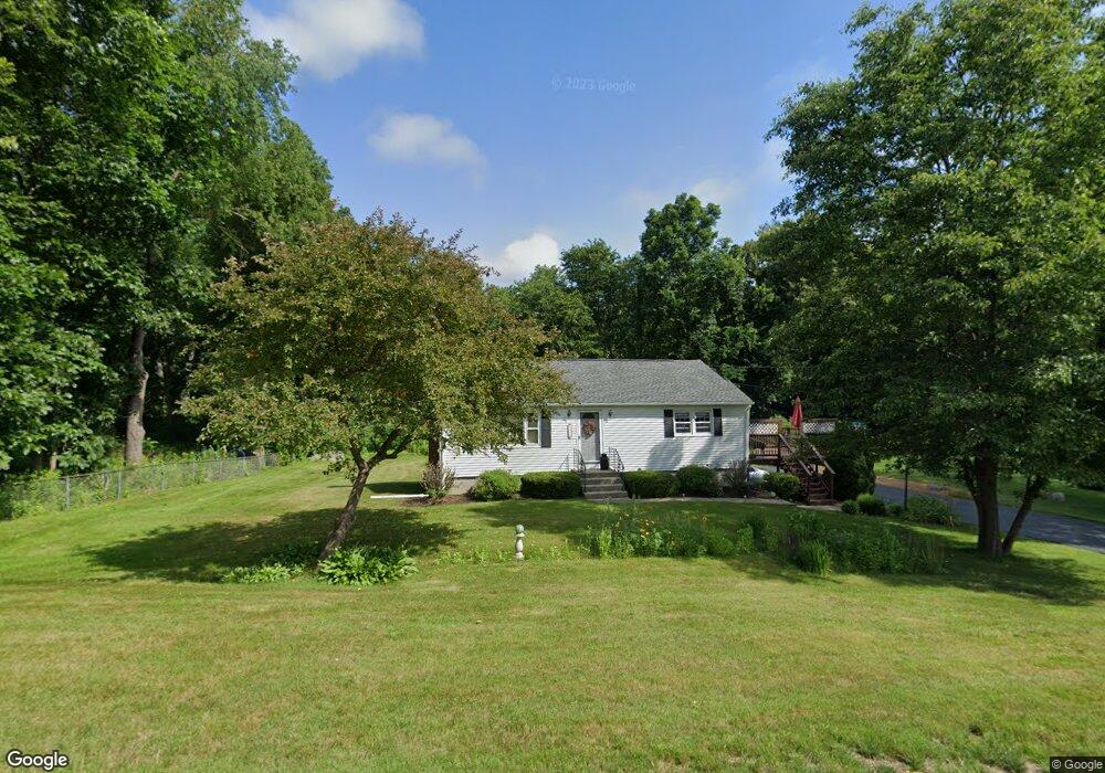
141 Grafton St Millbury, MA 01527
Estimated Value: $454,000 - $511,000
3
Beds
2
Baths
1,176
Sq Ft
$410/Sq Ft
Est. Value
About This Home
This home is located at 141 Grafton St, Millbury, MA 01527 and is currently estimated at $481,744, approximately $409 per square foot. 141 Grafton St is a home located in Worcester County with nearby schools including Elmwood Street Elementary School, Raymond E. Shaw Elementary School, and Millbury Junior/Senior High School.
Ownership History
Date
Name
Owned For
Owner Type
Purchase Details
Closed on
Apr 1, 1988
Sold by
Williams Richard O
Bought by
Macdonald Arnold L
Current Estimated Value
Home Financials for this Owner
Home Financials are based on the most recent Mortgage that was taken out on this home.
Original Mortgage
$35,000
Interest Rate
9.89%
Mortgage Type
Purchase Money Mortgage
Create a Home Valuation Report for This Property
The Home Valuation Report is an in-depth analysis detailing your home's value as well as a comparison with similar homes in the area
Home Values in the Area
Average Home Value in this Area
Purchase History
| Date | Buyer | Sale Price | Title Company |
|---|---|---|---|
| Macdonald Arnold L | $124,850 | -- |
Source: Public Records
Mortgage History
| Date | Status | Borrower | Loan Amount |
|---|---|---|---|
| Open | Macdonald Arnold L | $30,000 | |
| Closed | Macdonald Arnold L | $30,000 | |
| Closed | Macdonald Arnold L | $20,000 | |
| Closed | Macdonald Arnold L | $35,000 |
Source: Public Records
Tax History Compared to Growth
Tax History
| Year | Tax Paid | Tax Assessment Tax Assessment Total Assessment is a certain percentage of the fair market value that is determined by local assessors to be the total taxable value of land and additions on the property. | Land | Improvement |
|---|---|---|---|---|
| 2025 | $5,588 | $417,300 | $112,800 | $304,500 |
| 2024 | $5,129 | $387,700 | $104,500 | $283,200 |
| 2023 | $4,757 | $329,200 | $73,400 | $255,800 |
| 2022 | $4,539 | $302,600 | $73,400 | $229,200 |
| 2021 | $4,439 | $287,700 | $73,400 | $214,300 |
| 2020 | $6,680 | $282,100 | $73,400 | $208,700 |
| 2019 | $4,087 | $262,300 | $66,600 | $195,700 |
| 2018 | $0 | $238,100 | $66,600 | $171,500 |
| 2017 | $3,661 | $222,800 | $66,600 | $156,200 |
| 2016 | $3,545 | $215,400 | $66,600 | $148,800 |
| 2015 | $3,555 | $216,000 | $70,800 | $145,200 |
| 2014 | $3,352 | $196,000 | $70,800 | $125,200 |
Source: Public Records
Map
Nearby Homes
- 30 Lexington Rd
- 20 Woodridge Rd
- 8 Autumn Gate Cir
- Lot 1 Cooper Rd
- 19 Cortland Way
- 73 Potter Hill Rd
- 15 Rayburn Dr
- 81 Ariel Cir
- 115 Ariel Cir
- 43 Barbara Jean St
- 75 Potter Hill Rd
- 18 Barbara Jean St
- 123 Riverlin St
- 81 Millbury St
- 19 Rice Rd
- 156 Brigham Hill Rd
- 4 Thomas Hill Rd
- 144 Pleasant St
- 78 Pleasant St
- 16 Jackie Dr
- 143 Grafton St
- 139 Grafton St
- 142 Grafton St
- 144 Grafton St
- 145 Grafton St
- 140 Grafton St
- 137 Grafton St
- 137 Grafton St
- 148 Grafton St
- 150 Grafton St
- 135 Grafton St
- 146 Grafton St
- 136 Grafton St
- 2 Lexington Rd
- 4 Lexington Rd
- 3 Lexington Rd
- 1 Lexington Rd
- 3 Lexington Rd Unit 3
- 4 Lexington Rd Unit 4
- 3 Village Green