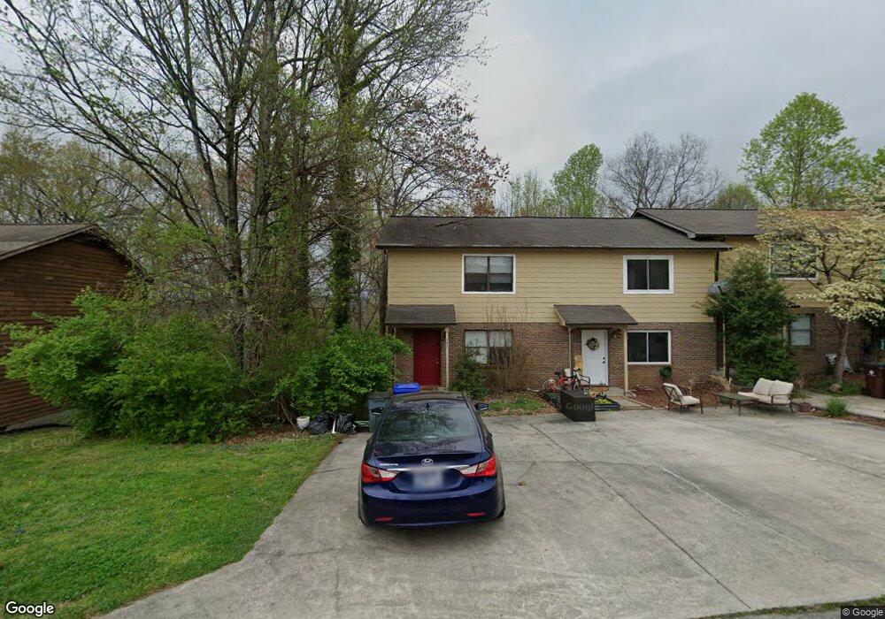
141 High Point Ln Oak Ridge, TN 37830
Estimated Value: $211,000 - $248,000
--
Bed
2
Baths
1,200
Sq Ft
$188/Sq Ft
Est. Value
About This Home
This home is located at 141 High Point Ln, Oak Ridge, TN 37830 and is currently estimated at $225,740, approximately $188 per square foot. 141 High Point Ln is a home located in Anderson County with nearby schools including Woodland Elementary School, Jefferson Middle School, and Oak Ridge High School.
Ownership History
Date
Name
Owned For
Owner Type
Purchase Details
Closed on
Feb 27, 2015
Sold by
Schubert William R
Bought by
Cox Michael
Current Estimated Value
Home Financials for this Owner
Home Financials are based on the most recent Mortgage that was taken out on this home.
Original Mortgage
$14,000
Outstanding Balance
$10,758
Interest Rate
3.77%
Mortgage Type
New Conventional
Estimated Equity
$214,982
Create a Home Valuation Report for This Property
The Home Valuation Report is an in-depth analysis detailing your home's value as well as a comparison with similar homes in the area
Home Values in the Area
Average Home Value in this Area
Purchase History
| Date | Buyer | Sale Price | Title Company |
|---|---|---|---|
| Cox Michael | $250,000 | -- |
Source: Public Records
Mortgage History
| Date | Status | Borrower | Loan Amount |
|---|---|---|---|
| Open | Cox Michael | $14,000 | |
| Open | Cox Michael | $200,000 |
Source: Public Records
Tax History Compared to Growth
Tax History
| Year | Tax Paid | Tax Assessment Tax Assessment Total Assessment is a certain percentage of the fair market value that is determined by local assessors to be the total taxable value of land and additions on the property. | Land | Improvement |
|---|---|---|---|---|
| 2024 | $559 | $22,750 | $6,875 | $15,875 |
| 2023 | $559 | $22,750 | $0 | $0 |
| 2022 | $1,085 | $22,750 | $6,875 | $15,875 |
| 2021 | $1,085 | $22,750 | $6,875 | $15,875 |
| 2020 | $559 | $22,750 | $6,875 | $15,875 |
| 2019 | $1,016 | $19,350 | $5,500 | $13,850 |
| 2018 | $993 | $19,350 | $5,500 | $13,850 |
| 2017 | $990 | $19,350 | $5,500 | $13,850 |
| 2016 | $990 | $19,350 | $5,500 | $13,850 |
| 2015 | -- | $19,350 | $5,500 | $13,850 |
| 2014 | -- | $19,350 | $5,500 | $13,850 |
| 2013 | -- | $20,850 | $0 | $0 |
Source: Public Records
Map
Nearby Homes
- 119 Hanover Place
- 113 High Point Ln
- 0 Hendrix Dr
- 160 High Point Ln
- 162 High Point Ln
- 98 Hampshire Cir
- 123 Heritage Dr
- 101 Hendrix Dr
- 103 S Purdue Ave
- 121 Goucher Cir
- 105 Deerfield Ln
- 116 W Gettysburg Ave
- 112 Nasson Ln
- 109 Nasson Ln
- 191 Manhattan Ave
- 124 Marshall Cir
- 207 Manhattan Ave
- 185 S Purdue Ave
- 244 Vermont Ave
- 107 Townsend Rd
- 143 High Point Ln
- 139 High Point Ln
- 145 High Point Ln
- 147 High Point Ln
- 137 High Point Ln
- 149 High Point Ln
- 135 High Point Ln
- 151 High Point Ln
- 133 High Point Ln
- 131 High Point Ln
- 142 High Point Ln
- 144 High Point Ln
- 129 High Point Ln
- 140 High Point Ln
- 146 High Point Ln
- 138 High Point Ln
- 148 High Point Ln
- 127 High Point Ln
- 172 Hendrix Dr
- 136 High Point Ln