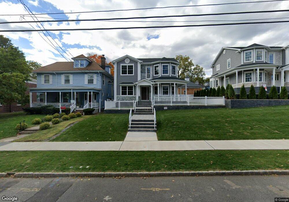
141 High St Unit 13 Perth Amboy, NJ 08861
The Waterfront NeighborhoodEstimated Value: $655,000 - $904,000
--
Bed
--
Bath
2,665
Sq Ft
$298/Sq Ft
Est. Value
About This Home
This home is located at 141 High St Unit 13, Perth Amboy, NJ 08861 and is currently estimated at $795,040, approximately $298 per square foot. 141 High St Unit 13 is a home located in Middlesex County with nearby schools including Perth Amboy High School, Middlesex County STEM Charter School, and Perth Amboy Catholic Primary School.
Ownership History
Date
Name
Owned For
Owner Type
Purchase Details
Closed on
Oct 14, 2022
Sold by
Costa Nelson A
Bought by
Bunn Bert E and Moranieto Dannelys
Current Estimated Value
Home Financials for this Owner
Home Financials are based on the most recent Mortgage that was taken out on this home.
Original Mortgage
$762,135
Outstanding Balance
$732,627
Interest Rate
5.89%
Mortgage Type
VA
Estimated Equity
$62,413
Purchase Details
Closed on
Dec 7, 2020
Sold by
151 High Llc
Bought by
Costa Nelson A
Purchase Details
Closed on
Jul 6, 2004
Sold by
Nosta John
Bought by
151 High Llc
Create a Home Valuation Report for This Property
The Home Valuation Report is an in-depth analysis detailing your home's value as well as a comparison with similar homes in the area
Home Values in the Area
Average Home Value in this Area
Purchase History
| Date | Buyer | Sale Price | Title Company |
|---|---|---|---|
| Bunn Bert E | $745,000 | Shepherd Title | |
| Bunn Bert E | $745,000 | Shepherd Title | |
| Costa Nelson A | $170,000 | New Horizon Abstract | |
| 151 High Llc | $550,000 | -- |
Source: Public Records
Mortgage History
| Date | Status | Borrower | Loan Amount |
|---|---|---|---|
| Open | Bunn Bert E | $762,135 | |
| Closed | Bunn Bert E | $762,135 |
Source: Public Records
Tax History Compared to Growth
Tax History
| Year | Tax Paid | Tax Assessment Tax Assessment Total Assessment is a certain percentage of the fair market value that is determined by local assessors to be the total taxable value of land and additions on the property. | Land | Improvement |
|---|---|---|---|---|
| 2025 | $16,802 | $556,900 | $170,000 | $386,900 |
| 2024 | $5,119 | $556,900 | $170,000 | $386,900 |
| 2023 | $5,119 | $170,000 | $170,000 | $0 |
| 2022 | $5,058 | $170,000 | $170,000 | $0 |
| 2021 | $5,064 | $170,000 | $170,000 | $0 |
| 2020 | $5,063 | $170,000 | $170,000 | $0 |
| 2019 | $5,081 | $170,000 | $170,000 | $0 |
| 2018 | $5,037 | $170,000 | $170,000 | $0 |
| 2017 | $5,027 | $170,000 | $170,000 | $0 |
| 2016 | $4,896 | $170,000 | $170,000 | $0 |
| 2015 | $4,930 | $170,000 | $170,000 | $0 |
| 2014 | $4,961 | $170,000 | $170,000 | $0 |
Source: Public Records
Map
Nearby Homes
- 112 Catalpa Ave
- 102 Madison Ave
- 187 Gordon St
- 136 1st St
- 55 Smith St
- 283 Water St
- 87-89 1st St
- 318 High St
- 331 Rector St Unit B
- 358 Rector St Unit 310
- 358 Rector St
- 368 Rector St Unit 413
- 368 Rector St Unit 512
- 267 Elm St
- 278 Market St
- 395 Mechanic St
- 0-50-52 Broad St
- 399 Park Ave
- 374 Oak St
- 30 Aviva Ct