141 Highway 583 N Tylertown, MS 39667
Estimated Value: $359,000 - $461,543
5
Beds
3
Baths
3,829
Sq Ft
$110/Sq Ft
Est. Value
About This Home
This home is located at 141 Highway 583 N, Tylertown, MS 39667 and is currently estimated at $420,386, approximately $109 per square foot. 141 Highway 583 N is a home located in Walthall County with nearby schools including Tylertown Primary School, Tylertown Lower Elementary School, and Tylertown High School.
Ownership History
Date
Name
Owned For
Owner Type
Purchase Details
Closed on
Dec 14, 2012
Sold by
Federal Home Loan Mortgage Corporation
Bought by
Edwards Leslie W and Corry Paul J
Current Estimated Value
Home Financials for this Owner
Home Financials are based on the most recent Mortgage that was taken out on this home.
Original Mortgage
$242,900
Outstanding Balance
$168,211
Interest Rate
3.36%
Mortgage Type
New Conventional
Estimated Equity
$252,175
Create a Home Valuation Report for This Property
The Home Valuation Report is an in-depth analysis detailing your home's value as well as a comparison with similar homes in the area
Home Values in the Area
Average Home Value in this Area
Purchase History
| Date | Buyer | Sale Price | Title Company |
|---|---|---|---|
| Edwards Leslie W | -- | -- |
Source: Public Records
Mortgage History
| Date | Status | Borrower | Loan Amount |
|---|---|---|---|
| Open | Edwards Leslie W | $242,900 |
Source: Public Records
Tax History Compared to Growth
Tax History
| Year | Tax Paid | Tax Assessment Tax Assessment Total Assessment is a certain percentage of the fair market value that is determined by local assessors to be the total taxable value of land and additions on the property. | Land | Improvement |
|---|---|---|---|---|
| 2024 | $3,160 | $26,365 | $0 | $0 |
| 2023 | $3,160 | $26,521 | $0 | $0 |
| 2022 | $3,088 | $26,527 | $0 | $0 |
| 2021 | $2,825 | $25,005 | $0 | $0 |
| 2020 | $2,814 | $25,013 | $0 | $0 |
| 2019 | $2,815 | $25,021 | $0 | $0 |
| 2018 | $2,816 | $25,030 | $0 | $0 |
| 2017 | $2,644 | $23,756 | $0 | $0 |
| 2016 | $2,593 | $23,727 | $0 | $0 |
| 2015 | -- | $24,051 | $0 | $0 |
| 2014 | -- | $25,671 | $0 | $0 |
| 2013 | -- | $34,168 | $0 | $0 |
Source: Public Records
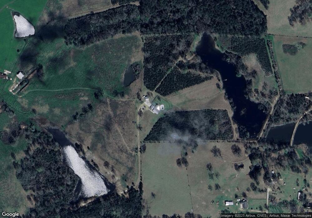
Map
Nearby Homes
- 608 US Highway 98
- 220 Mississippi 27
- 000 Us Highway 98
- 104 Robert Rd
- 1001 Yarborough Heights
- 704 Ball Ave
- TBD Hwy 98 Ea St
- 906 Pecan Ln
- 614 Ball Ave
- 5 Union Church Rd
- 516 Tyler Ave
- 35 Eaton Rd
- 000 Mississippi 27
- 807 Beulah Ave
- 0 Mississippi 48
- 891 Mississippi 48
- 000 Highway 98 E
- 807 Pine Dr
- 904 Pine Dr
- 308 Gulledge Dr
- 141 Mississippi 583
- 50 Wes Dillon Rd
- 53 Wes Dillon Rd
- 177 Highway 583 N
- 45 Wes Dillon Rd
- 25 Wes Dillon Rd
- 139 Highway 583 N
- 35 Wes Dillon Rd
- 141 Hwy 583n
- 134 Highway 583 N
- 178 Highway 583 N
- 132 Highway 583 N
- 173 Highway 583 N
- 124 Highway 583 N
- 31 Wes Dillon Rd
- 172 Highway 583 N
- 120 Highway 583 N
- 120 Mississippi 583
- 178 Mississippi 583
- XXX Lem Stewart Rd