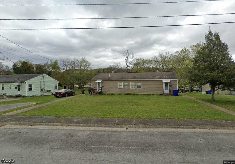
141 Lancaster Rd Unit 143 Oak Ridge, TN 37830
Estimated Value: $150,671 - $205,000
--
Bed
2
Baths
1,368
Sq Ft
$126/Sq Ft
Est. Value
About This Home
This home is located at 141 Lancaster Rd Unit 143, Oak Ridge, TN 37830 and is currently estimated at $172,418, approximately $126 per square foot. 141 Lancaster Rd Unit 143 is a home located in Anderson County with nearby schools including Willow Brook Elementary, Robertsville Middle School, and Oak Ridge High School.
Ownership History
Date
Name
Owned For
Owner Type
Purchase Details
Closed on
Sep 27, 2016
Sold by
Elkins Billy R and Elkins Sandra N
Bought by
Walker Franklin E and Shim Catherine L
Current Estimated Value
Home Financials for this Owner
Home Financials are based on the most recent Mortgage that was taken out on this home.
Original Mortgage
$60,000
Outstanding Balance
$48,086
Interest Rate
3.45%
Mortgage Type
Seller Take Back
Estimated Equity
$124,332
Purchase Details
Closed on
Sep 26, 2016
Sold by
Elkins Billy R
Bought by
Shim Catherine L and Shim Franklin E Walker
Home Financials for this Owner
Home Financials are based on the most recent Mortgage that was taken out on this home.
Original Mortgage
$60,000
Outstanding Balance
$48,086
Interest Rate
3.45%
Mortgage Type
Seller Take Back
Estimated Equity
$124,332
Purchase Details
Closed on
Apr 5, 2001
Sold by
Haun Adele C
Bought by
Elkins Billy R
Create a Home Valuation Report for This Property
The Home Valuation Report is an in-depth analysis detailing your home's value as well as a comparison with similar homes in the area
Home Values in the Area
Average Home Value in this Area
Purchase History
| Date | Buyer | Sale Price | Title Company |
|---|---|---|---|
| Walker Franklin E | $68,000 | -- | |
| Shim Catherine L | $68,000 | -- | |
| Elkins Billy R | $35,000 | -- |
Source: Public Records
Mortgage History
| Date | Status | Borrower | Loan Amount |
|---|---|---|---|
| Open | Walker Franklin E | $60,000 |
Source: Public Records
Tax History Compared to Growth
Tax History
| Year | Tax Paid | Tax Assessment Tax Assessment Total Assessment is a certain percentage of the fair market value that is determined by local assessors to be the total taxable value of land and additions on the property. | Land | Improvement |
|---|---|---|---|---|
| 2024 | $418 | $17,025 | $6,475 | $10,550 |
| 2023 | $418 | $17,025 | $0 | $0 |
| 2022 | $812 | $17,025 | $6,475 | $10,550 |
| 2021 | $1,219 | $25,560 | $10,360 | $15,200 |
| 2020 | $1,052 | $25,560 | $10,360 | $15,200 |
| 2019 | $1,076 | $20,480 | $8,760 | $11,720 |
| 2018 | $1,051 | $20,480 | $8,760 | $11,720 |
| 2017 | $1,047 | $20,480 | $8,760 | $11,720 |
| 2016 | $1,047 | $20,480 | $8,760 | $11,720 |
| 2015 | -- | $20,480 | $0 | $0 |
| 2014 | -- | $20,480 | $0 | $0 |
| 2013 | -- | $20,240 | $0 | $0 |
Source: Public Records
Map
Nearby Homes
- 122 Lancaster Rd
- 442 Robertsville Rd
- 128 Sheridan Cir
- 145 Latimer Rd
- 133 Lasalle Rd
- 26 Lindale Ln
- 104 Sanford Ln
- 657 Robertsville Rd
- 113 Johnson Rd
- 107 Jay Ln
- 845 W Outer Dr
- 158 Wellington Cir
- 143 Wellington Cir
- 115 Morgan Rd
- 119 Briar Rd
- 212 Byron Ln
- 296 N Illinois Ave
- 617 W Outer Dr
- 116 Deerberry Ln
- 103 Independence Ln
- 139 Lancaster Rd
- 166 Louisiana Ave
- 162 Louisiana Ave
- 164 Louisiana Ave
- 133 Lancaster Rd
- 146 Lancaster Rd
- 138 Lancaster Rd
- 131 Lancaster Rd
- 184 Louisiana Ave
- 134 Lancaster Rd
- 132 Lancaster Rd
- 148 Louisiana Ave
- 148 Louisiana Ave
- 167 Louisiana Ave
- 173 Louisiana Ave
- 125 Lancaster Rd
- 125 S Lansing Rd
- 165 Louisiana Ave
- 188 Louisiana Ave
- 175 Louisiana Ave