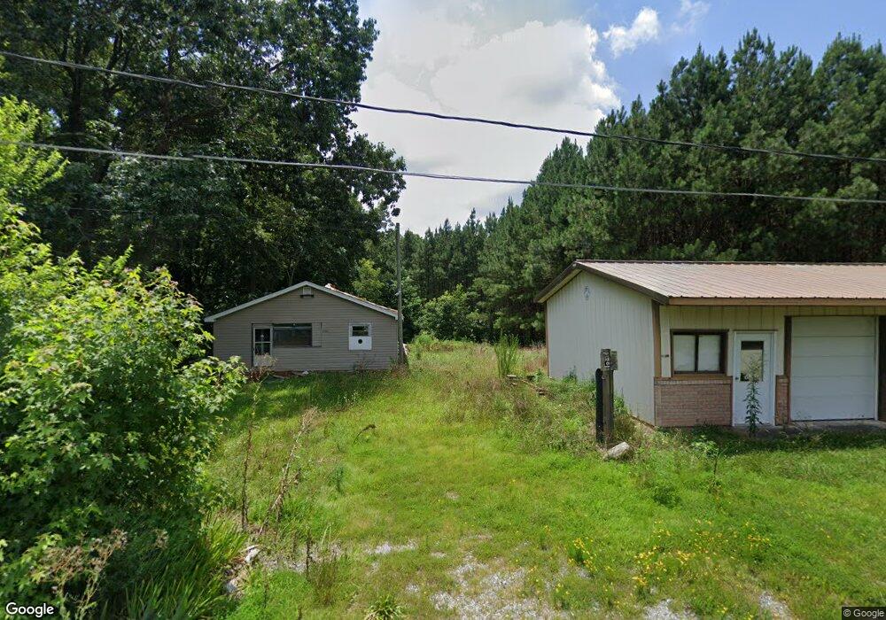
141 Leonard Ave Lexington, NC 27295
Estimated Value: $122,000 - $200,000
2
Beds
1
Bath
840
Sq Ft
$193/Sq Ft
Est. Value
About This Home
This home is located at 141 Leonard Ave, Lexington, NC 27295 and is currently estimated at $162,303, approximately $193 per square foot. 141 Leonard Ave is a home located in Davidson County with nearby schools including Reeds Elementary School, Tyro Middle School, and West Davidson High School.
Ownership History
Date
Name
Owned For
Owner Type
Purchase Details
Closed on
Aug 21, 2019
Sold by
Ayers Michael Wayne and Ayers Melissa Craver
Bought by
Leonard Family Properties Llc
Current Estimated Value
Purchase Details
Closed on
Dec 13, 2005
Sold by
Leonard Family Properties
Bought by
Ayers Michael Wayne and Ayers Melissa Craver
Home Financials for this Owner
Home Financials are based on the most recent Mortgage that was taken out on this home.
Original Mortgage
$20,000
Interest Rate
6.18%
Mortgage Type
Purchase Money Mortgage
Create a Home Valuation Report for This Property
The Home Valuation Report is an in-depth analysis detailing your home's value as well as a comparison with similar homes in the area
Home Values in the Area
Average Home Value in this Area
Purchase History
| Date | Buyer | Sale Price | Title Company |
|---|---|---|---|
| Leonard Family Properties Llc | $18,000 | None Available | |
| Ayers Michael Wayne | $20,000 | None Available |
Source: Public Records
Mortgage History
| Date | Status | Borrower | Loan Amount |
|---|---|---|---|
| Previous Owner | Ayers Michael Wayne | $20,000 |
Source: Public Records
Tax History Compared to Growth
Tax History
| Year | Tax Paid | Tax Assessment Tax Assessment Total Assessment is a certain percentage of the fair market value that is determined by local assessors to be the total taxable value of land and additions on the property. | Land | Improvement |
|---|---|---|---|---|
| 2025 | $496 | $81,170 | $0 | $0 |
| 2024 | $557 | $91,130 | $0 | $0 |
| 2023 | $547 | $91,130 | $0 | $0 |
| 2022 | $539 | $91,130 | $0 | $0 |
| 2021 | $539 | $91,130 | $0 | $0 |
| 2020 | $358 | $60,590 | $0 | $0 |
| 2019 | $364 | $60,590 | $0 | $0 |
| 2018 | $351 | $60,590 | $0 | $0 |
| 2017 | $351 | $60,590 | $0 | $0 |
| 2016 | $351 | $60,590 | $0 | $0 |
| 2015 | $351 | $60,590 | $0 | $0 |
| 2014 | $295 | $50,940 | $0 | $0 |
Source: Public Records
Map
Nearby Homes
- 3602 W Old Us Highway 64
- 2857 W Old Highway 64
- 126 Iroquois Trail
- 1001 W Us Highway 64
- 202 Alamos Ave
- 183 Alamos Ave
- 122 Channy Ln
- 000 Pinecrest Dr
- 253 Beebop Ln
- 0000 Tussey Rd
- 248 Pinecrest Dr
- 00 Comanche Trail
- 575 Owen Rd Unit Lots 55-58
- 604 Indian Wells Cir
- 116 Saintsbury Place
- 365 Brushy Dr
- 201 Indian Wells Cir
- 000 Tussey Rd
- 00 Forest Hill Rd
- 113 Habersham Ct
- 132 Curtis Leonard Rd
- 191 Curtis Leonard Rd
- 147 Curtis Leonard Rd Unit A
- 147 Curtis Leonard Rd
- 3407 W Old Us Highway 64
- 3385 W Old Us Highway 64
- 3571 Helmstetler Rd
- 3525 Helmstetler Rd Unit 3537
- 3537 Helmstetler Rd
- 305 Arvil Hunt Rd
- 3511 Helmstetler Rd
- 345 Arvil Hunt Rd
- 283 Arvil Hunt Rd
- 304 Curtis Leonard Rd
- 200 Radcliff Dr
- 3443 Helmstetler Rd
- 257 Arvil Hunt Rd
- 3440 W Old Us Highway 64
- 373 Arvil Hunt Rd
- 3513 W Old Us Highway 64