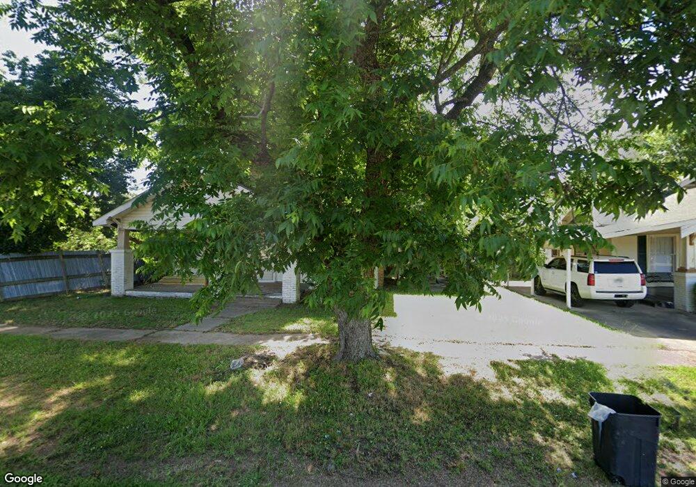
141 N Dupree St Ashdown, AR 71822
Estimated Value: $77,763 - $139,000
--
Bed
1
Bath
1,577
Sq Ft
$72/Sq Ft
Est. Value
About This Home
This home is located at 141 N Dupree St, Ashdown, AR 71822 and is currently estimated at $113,441, approximately $71 per square foot. 141 N Dupree St is a home located in Little River County with nearby schools including L.F. Henderson Interm. School, Ashdown Elementary School, and Ashdown Junior High School.
Ownership History
Date
Name
Owned For
Owner Type
Purchase Details
Closed on
Nov 9, 2012
Bought by
Johnson Mindy L and Johnson Wesley
Current Estimated Value
Purchase Details
Closed on
Sep 15, 2006
Bought by
Johnson Mindy L
Purchase Details
Closed on
Aug 11, 2006
Bought by
Altenbaumer Patsy R
Purchase Details
Closed on
Aug 16, 2000
Bought by
Russell Pat
Purchase Details
Closed on
May 30, 2000
Bought by
Russell Pat
Purchase Details
Closed on
Jun 4, 1998
Bought by
Markle Jeffery E and Markle Sherri L
Purchase Details
Closed on
Sep 21, 1993
Bought by
Edmonson Frank A and Edmonson Phyllis D
Purchase Details
Closed on
Jun 24, 1993
Bought by
Secratary Of Housing Urban Dev
Purchase Details
Closed on
May 19, 1993
Bought by
Worthem Martgage Company
Purchase Details
Closed on
Aug 1, 1989
Bought by
Bellot Lawrence Wayne and Bellot Stacy L
Create a Home Valuation Report for This Property
The Home Valuation Report is an in-depth analysis detailing your home's value as well as a comparison with similar homes in the area
Home Values in the Area
Average Home Value in this Area
Purchase History
| Date | Buyer | Sale Price | Title Company |
|---|---|---|---|
| Johnson Mindy L | -- | -- | |
| Johnson Mindy L | $63,000 | -- | |
| Altenbaumer Patsy R | -- | -- | |
| Russell Pat | -- | -- | |
| Russell Pat | $30,000 | -- | |
| Markle Jeffery E | $23,000 | -- | |
| Markle Jeffery E | $25,000 | -- | |
| Edmonson Frank A | -- | -- | |
| Secratary Of Housing Urban Dev | -- | -- | |
| Worthem Martgage Company | $32,400 | -- | |
| Bellot Lawrence Wayne | $28,100 | -- |
Source: Public Records
Tax History Compared to Growth
Tax History
| Year | Tax Paid | Tax Assessment Tax Assessment Total Assessment is a certain percentage of the fair market value that is determined by local assessors to be the total taxable value of land and additions on the property. | Land | Improvement |
|---|---|---|---|---|
| 2024 | $31 | $11,250 | $1,020 | $10,230 |
| 2023 | $0 | $11,250 | $1,020 | $10,230 |
| 2022 | $31 | $11,250 | $1,020 | $10,230 |
| 2021 | $11 | $9,220 | $580 | $8,640 |
| 2020 | $11 | $9,220 | $580 | $8,640 |
| 2019 | $7 | $9,220 | $580 | $8,640 |
| 2018 | $16 | $9,220 | $580 | $8,640 |
| 2017 | $0 | $9,220 | $580 | $8,640 |
| 2016 | -- | $7,930 | $770 | $7,160 |
| 2015 | -- | $7,930 | $770 | $7,160 |
| 2014 | -- | $7,930 | $770 | $7,160 |
Source: Public Records
Map
Nearby Homes
- 680 U S Highway 71
- 682 U S Highway 71
- 630 Rankin St
- 640 Willow St
- 210 E Cowling St
- 850 Oak St
- 1531 Rankin St
- 912 N Smith Cir
- 1211 Buck Wright Rd
- TBD Lr 21
- 0000 Fresco Addn
- 1520 Pine Dr
- 1560 Leona Dr
- 1665 Peyton Ave
- 1609 Buck Wright Rd
- 1331 Grant St
- 1720 Crestview St
- 1760 Caddo Cir
- 1249 S 9th St
- 2020 Walnut St