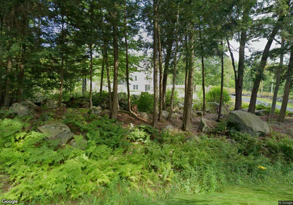
141 Number 4 Rd Fitzwilliam, NH 03447
Estimated Value: $484,000 - $540,000
4
Beds
3
Baths
2,878
Sq Ft
$180/Sq Ft
Est. Value
About This Home
This home is located at 141 Number 4 Rd, Fitzwilliam, NH 03447 and is currently estimated at $517,483, approximately $179 per square foot. 141 Number 4 Rd is a home located in Cheshire County with nearby schools including Dr. George S. Emerson Elementary School and Monadnock Regional High School.
Ownership History
Date
Name
Owned For
Owner Type
Purchase Details
Closed on
Oct 23, 2025
Sold by
Martinson Karl
Bought by
Martinson Karl and Martinson Renee
Current Estimated Value
Purchase Details
Closed on
Mar 9, 2007
Sold by
Filipi Elias and Filipi Rachell R
Bought by
Martinson Karl E
Home Financials for this Owner
Home Financials are based on the most recent Mortgage that was taken out on this home.
Original Mortgage
$252,900
Interest Rate
6.3%
Mortgage Type
Purchase Money Mortgage
Create a Home Valuation Report for This Property
The Home Valuation Report is an in-depth analysis detailing your home's value as well as a comparison with similar homes in the area
Home Values in the Area
Average Home Value in this Area
Purchase History
| Date | Buyer | Sale Price | Title Company |
|---|---|---|---|
| Martinson Karl | -- | -- | |
| Martinson Karl E | $281,000 | -- |
Source: Public Records
Mortgage History
| Date | Status | Borrower | Loan Amount |
|---|---|---|---|
| Previous Owner | Martinson Karl E | $240,000 | |
| Previous Owner | Martinson Karl E | $252,900 |
Source: Public Records
Tax History Compared to Growth
Tax History
| Year | Tax Paid | Tax Assessment Tax Assessment Total Assessment is a certain percentage of the fair market value that is determined by local assessors to be the total taxable value of land and additions on the property. | Land | Improvement |
|---|---|---|---|---|
| 2024 | $7,657 | $419,100 | $84,500 | $334,600 |
| 2023 | $7,091 | $419,100 | $84,500 | $334,600 |
| 2022 | $6,877 | $419,100 | $84,500 | $334,600 |
| 2021 | $6,225 | $241,000 | $51,400 | $189,600 |
| 2020 | $6,208 | $241,000 | $51,400 | $189,600 |
| 2019 | $6,445 | $243,300 | $53,700 | $189,600 |
| 2018 | $5,866 | $243,300 | $53,700 | $189,600 |
| 2016 | $5,981 | $215,600 | $43,100 | $172,500 |
| 2015 | $5,759 | $215,600 | $43,100 | $172,500 |
| 2014 | $6,393 | $215,600 | $43,100 | $172,500 |
| 2013 | $6,110 | $215,600 | $43,100 | $172,500 |
Source: Public Records
Map
Nearby Homes
- 117 Templeton Turnpike
- 18 Lakeside Dr
- 00 Fullam Hill Rd Unit 5, 6, 50
- 206 New Hampshire 119
- 310 Nh Route 119 E
- 60 Fern Cir Unit 1-59
- 74 Fern Cir
- 45 Camp Cir
- 257 Lakeside Dr
- 69 Camp Cir
- 9 Templeton Turnpike
- 32/2-1 New Hampshire 119
- 801 Rt 12 S
- 115 Brook Side Rd Unit 2-12
- 00 Scott Pond Rd
- 319 W Lake Rd
- 314 Richmond Rd
- 239 Abel Rd
- 53 Laurel Lake Rd
- 26 Weidner Dr
- 180 Number 4 Rd
- 120 Number 4 Rd
- 181 Number 4 Rd
- 106 Number 4 Rd
- 36 Whitcomb Rd
- 0 Number 4 Rd Unit 4777934
- 0 Dunton Rd Unit 4374118
- 0 Dunton Rd Unit 4400862
- 23 Dunton Rd
- 407 Templeton Turnpike
- 74 Number 4 Rd
- 35 Dunton Rd
- 98 Whitcomb Rd
- 110 Number 4 Rd
- 38 Dunton Rd
- 37 Dunton Rd
- 24 Baldwin Ct
- 56 Number 4 Rd
- 49 Dunton Rd
- 53 Dunton Rd