141 Old Ferry Rd West Chesterfield, NH 03466
Estimated Value: $631,000 - $998,000
4
Beds
3
Baths
3,629
Sq Ft
$237/Sq Ft
Est. Value
About This Home
This home is located at 141 Old Ferry Rd, West Chesterfield, NH 03466 and is currently estimated at $860,738, approximately $237 per square foot. 141 Old Ferry Rd is a home with nearby schools including Chesterfield Central School, Mayland Early College High School, and Keene High School.
Ownership History
Date
Name
Owned For
Owner Type
Purchase Details
Closed on
Jan 5, 2024
Sold by
Fortier Joseph D and Fortier Alyssa A
Bought by
Fortier Ft and Fortier
Current Estimated Value
Purchase Details
Closed on
Feb 11, 2004
Sold by
Wrona Matthew J
Bought by
Fortier Joseph D and Fortier Alyssa A
Create a Home Valuation Report for This Property
The Home Valuation Report is an in-depth analysis detailing your home's value as well as a comparison with similar homes in the area
Home Values in the Area
Average Home Value in this Area
Purchase History
| Date | Buyer | Sale Price | Title Company |
|---|---|---|---|
| Fortier Ft | -- | None Available | |
| Fortier Joseph D | $125,000 | -- | |
| Fortier Joseph D | $125,000 | -- |
Source: Public Records
Mortgage History
| Date | Status | Borrower | Loan Amount |
|---|---|---|---|
| Previous Owner | Fortier Joseph D | $161,400 | |
| Previous Owner | Fortier Joseph D | $161,400 | |
| Previous Owner | Fortier Joseph D | $300,000 |
Source: Public Records
Tax History Compared to Growth
Tax History
| Year | Tax Paid | Tax Assessment Tax Assessment Total Assessment is a certain percentage of the fair market value that is determined by local assessors to be the total taxable value of land and additions on the property. | Land | Improvement |
|---|---|---|---|---|
| 2024 | $13,290 | $656,600 | $190,600 | $466,000 |
| 2023 | $13,014 | $656,600 | $190,600 | $466,000 |
| 2022 | $12,376 | $637,300 | $190,600 | $446,700 |
| 2021 | $11,748 | $618,000 | $190,600 | $427,400 |
| 2020 | $13,229 | $585,100 | $136,000 | $449,100 |
| 2019 | $12,693 | $568,700 | $136,000 | $432,700 |
| 2018 | $11,465 | $568,700 | $136,000 | $432,700 |
| 2016 | $11,038 | $519,200 | $136,000 | $383,200 |
| 2014 | $11,531 | $519,200 | $136,000 | $383,200 |
Source: Public Records
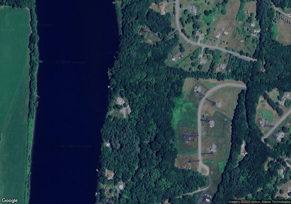
Map
Nearby Homes
- Lot 20 -20.3 Farr Rd
- 30 Farr Rd
- 136 Cross Rd
- 123 Poocham Rd
- 821 Route 9
- 0 Stow Dr Unit 4929741
- 932 Middle Rd
- 31 Crescent Dr
- 161 Buttonwood Dr
- 162 Buttonwood Dr
- 1123 River Rd
- 00 Orchard Rd Unit 1
- 85 Foley Rd
- 16 Vermont Ave
- 680 W River Rd
- 00 W River Rd
- 50 Terrace St
- 39 Williston St
- 1555 W River Rd
- 58 Oak St
- 139 Old Ferry Rd
- 137 Old Ferry Rd
- 33 Norcross Landing
- 47 Norcross Landing
- 41 Norcross Landing
- 34 Mckenna Way
- 18 Mckenna Way
- 135 Old Ferry Rd
- 27 Norcross Landing
- 0 McKenna Way Off Farr Rd Unit 4261020
- 131 Old Ferry Rd
- 44 Mckenna Way
- tbd Mckenna Way
- 68 Norcross Landing
- 127 Old Ferry Rd
- 17 Norcross Landing
- 62 Norcross Landing
- 27 Mckenna Way
- 48 Norcross Landing
- 54 Norcross Landing