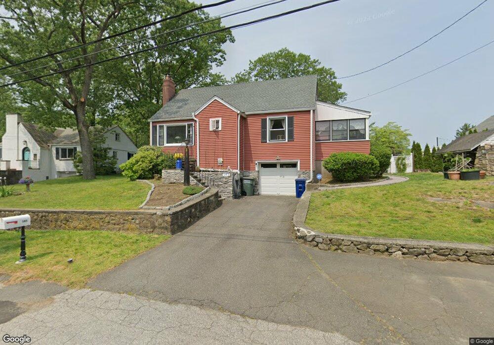
141 Pine Point Dr Bridgeport, CT 06606
North End NeighborhoodEstimated Value: $440,000 - $521,000
3
Beds
2
Baths
1,397
Sq Ft
$340/Sq Ft
Est. Value
About This Home
This home is located at 141 Pine Point Dr, Bridgeport, CT 06606 and is currently estimated at $474,591, approximately $339 per square foot. 141 Pine Point Dr is a home located in Fairfield County with nearby schools including Wilbur L. Cross Elementary School, Central High School, and Northeastern Adventist Academy - Fairfield County.
Ownership History
Date
Name
Owned For
Owner Type
Purchase Details
Closed on
Mar 10, 2015
Sold by
Vingo Donna and Mooney Daniel
Bought by
Sorrentino Betsy
Current Estimated Value
Home Financials for this Owner
Home Financials are based on the most recent Mortgage that was taken out on this home.
Original Mortgage
$150,000
Outstanding Balance
$112,536
Interest Rate
3.64%
Mortgage Type
New Conventional
Estimated Equity
$362,055
Create a Home Valuation Report for This Property
The Home Valuation Report is an in-depth analysis detailing your home's value as well as a comparison with similar homes in the area
Home Values in the Area
Average Home Value in this Area
Purchase History
| Date | Buyer | Sale Price | Title Company |
|---|---|---|---|
| Sorrentino Betsy | $150,000 | -- | |
| Sorrentino Betsy | $150,000 | -- |
Source: Public Records
Mortgage History
| Date | Status | Borrower | Loan Amount |
|---|---|---|---|
| Open | Sorrentino Betsy | $150,000 | |
| Closed | Sorrentino Betsy | $150,000 |
Source: Public Records
Tax History
| Year | Tax Paid | Tax Assessment Tax Assessment Total Assessment is a certain percentage of the fair market value that is determined by local assessors to be the total taxable value of land and additions on the property. | Land | Improvement |
|---|---|---|---|---|
| 2025 | $7,174 | $165,120 | $82,410 | $82,710 |
| 2024 | $7,174 | $165,120 | $82,410 | $82,710 |
| 2023 | $7,174 | $165,120 | $82,410 | $82,710 |
| 2022 | $7,174 | $165,120 | $82,410 | $82,710 |
| 2021 | $7,174 | $165,120 | $82,410 | $82,710 |
| 2020 | $7,128 | $132,020 | $62,380 | $69,640 |
| 2019 | $7,128 | $132,020 | $62,380 | $69,640 |
| 2018 | $7,178 | $132,020 | $62,380 | $69,640 |
| 2017 | $7,178 | $132,020 | $62,380 | $69,640 |
| 2016 | $7,178 | $132,020 | $62,380 | $69,640 |
| 2015 | $6,912 | $163,800 | $70,790 | $93,010 |
| 2014 | $6,912 | $163,800 | $70,790 | $93,010 |
Source: Public Records
Map
Nearby Homes
- 74 Village Ln
- 563 Lakeside Dr
- 1403 Old Town Rd Unit 1403
- 1376 Chopsey Hill Rd
- 364 Griffin Ave
- 11 Linda Dr
- 1320 Chopsey Hill Rd
- 291 Frenchtown Rd
- 65 Clearview Dr
- 45 Frenchtown Rd
- 26 Karen Ct Unit A
- 165 Yaremich Dr
- 82 Yaremich Dr
- 65 Bonnie View Dr
- 93 Oxford St Unit 95
- 26 Victory St
- 46 Oakleaf St
- 274 Platt St
- 70 Pleasantview Ave
- 114 Oxford St
- 165 Pine Point Dr
- 150 Pine Point Dr
- 125 Pine Point Dr
- 130 Pine Point Dr
- 160 Pine Point Dr
- 120 Pine Point Dr
- 395 Lakeside Dr
- 311 Lakeside Dr
- 361 Lakeside Dr
- 113 Pine Point Dr
- 100 Pine Point Dr
- 409 Lakeside Dr
- 99 Pine Point Dr
- 406 Lakeside Dr
- 86 Pine Point Dr
- 330 Lakeside Dr
- 342 Lakeside Dr
- 421 Lakeside Dr
- 356 Lakeside Dr
- 320 Lakeside Dr
Your Personal Tour Guide
Ask me questions while you tour the home.