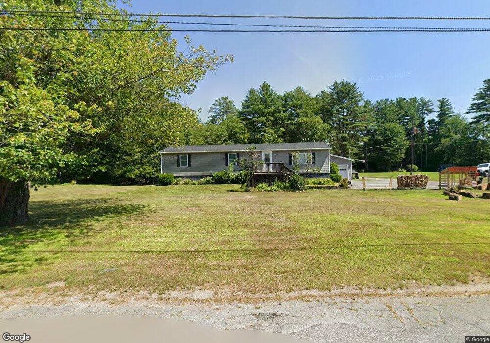
141 Prentiss St Orange, MA 01364
Estimated Value: $297,000 - $356,000
4
Beds
1
Bath
1,357
Sq Ft
$240/Sq Ft
Est. Value
About This Home
This home is located at 141 Prentiss St, Orange, MA 01364 and is currently estimated at $326,068, approximately $240 per square foot. 141 Prentiss St is a home located in Franklin County with nearby schools including Fisher Hill and Ralph C Mahar Regional School.
Ownership History
Date
Name
Owned For
Owner Type
Purchase Details
Closed on
Sep 1, 2000
Sold by
Maillet Norman J and Maillet Marion R
Bought by
Gelinas Timothy S and Flanders Stephanie A
Current Estimated Value
Home Financials for this Owner
Home Financials are based on the most recent Mortgage that was taken out on this home.
Original Mortgage
$92,775
Interest Rate
8.16%
Mortgage Type
Purchase Money Mortgage
Create a Home Valuation Report for This Property
The Home Valuation Report is an in-depth analysis detailing your home's value as well as a comparison with similar homes in the area
Home Values in the Area
Average Home Value in this Area
Purchase History
| Date | Buyer | Sale Price | Title Company |
|---|---|---|---|
| Gelinas Timothy S | $94,000 | -- |
Source: Public Records
Mortgage History
| Date | Status | Borrower | Loan Amount |
|---|---|---|---|
| Open | Gelinas Timothy S | $141,000 | |
| Closed | Gelinas Timothy S | $27,000 | |
| Closed | Gelinas Timothy S | $92,775 | |
| Previous Owner | Gelinas Timothy S | $61,500 |
Source: Public Records
Tax History Compared to Growth
Tax History
| Year | Tax Paid | Tax Assessment Tax Assessment Total Assessment is a certain percentage of the fair market value that is determined by local assessors to be the total taxable value of land and additions on the property. | Land | Improvement |
|---|---|---|---|---|
| 2025 | $45 | $274,000 | $31,700 | $242,300 |
| 2024 | $4,280 | $245,400 | $31,700 | $213,700 |
| 2023 | $4,091 | $227,800 | $28,500 | $199,300 |
| 2022 | $3,837 | $200,700 | $28,500 | $172,200 |
| 2021 | $3,192 | $159,200 | $46,700 | $112,500 |
| 2020 | $3,070 | $151,000 | $42,600 | $108,400 |
| 2019 | $2,734 | $121,400 | $36,900 | $84,500 |
| 2018 | $2,740 | $124,900 | $42,400 | $82,500 |
| 2017 | $2,681 | $126,300 | $42,400 | $83,900 |
| 2016 | $2,424 | $111,700 | $30,700 | $81,000 |
| 2015 | $2,457 | $118,300 | $32,800 | $85,500 |
| 2014 | $2,396 | $121,400 | $32,800 | $88,600 |
Source: Public Records
Map
Nearby Homes
- 129 Prentiss St
- 140 Prentiss St
- 151 Prentiss St
- 138 Prentiss St
- 99 Burrill Ave
- 100 Burrill Ave
- 108 Harrison Ave
- 117 Prentiss St
- 171 Prentiss St
- 97 Burrill Ave
- 126 Prentiss St
- 106 Harrison Ave
- 96 Burrill Ave
- 122 Burrill Ave
- 115 Prentiss St
- 116 Prentiss St
- 192 Prentiss St
- 95 Burrill Ave
- 88 Burrill Ave
- 114 Prentiss St