141 Shawnee Trail Toccoa, GA 30577
Estimated Value: $654,000 - $694,000
3
Beds
3
Baths
1,869
Sq Ft
$359/Sq Ft
Est. Value
About This Home
This home is located at 141 Shawnee Trail, Toccoa, GA 30577 and is currently estimated at $671,437, approximately $359 per square foot. 141 Shawnee Trail is a home located in Stephens County with nearby schools including Stephens County High School.
Ownership History
Date
Name
Owned For
Owner Type
Purchase Details
Closed on
Jun 19, 2019
Sold by
Gillcrist Paul W
Bought by
Floreant Martin E and Happe Lindsey R
Current Estimated Value
Home Financials for this Owner
Home Financials are based on the most recent Mortgage that was taken out on this home.
Original Mortgage
$185,000
Outstanding Balance
$159,905
Interest Rate
3.5%
Mortgage Type
New Conventional
Estimated Equity
$511,532
Purchase Details
Closed on
Jul 12, 2002
Bought by
Gillcrist Paul W and Kathy Ann
Purchase Details
Closed on
May 1, 1996
Bought by
<Buyer Info Not Present>
Create a Home Valuation Report for This Property
The Home Valuation Report is an in-depth analysis detailing your home's value as well as a comparison with similar homes in the area
Purchase History
| Date | Buyer | Sale Price | Title Company |
|---|---|---|---|
| Floreant Martin E | $295,000 | -- | |
| Gillcrist Paul W | $290,000 | -- | |
| <Buyer Info Not Present> | $153,000 | -- |
Source: Public Records
Mortgage History
| Date | Status | Borrower | Loan Amount |
|---|---|---|---|
| Open | Floreant Martin E | $185,000 |
Source: Public Records
Tax History
| Year | Tax Paid | Tax Assessment Tax Assessment Total Assessment is a certain percentage of the fair market value that is determined by local assessors to be the total taxable value of land and additions on the property. | Land | Improvement |
|---|---|---|---|---|
| 2025 | $4,382 | $159,651 | $51,183 | $108,468 |
| 2024 | $3,788 | $124,399 | $51,183 | $73,216 |
| 2023 | $3,556 | $119,464 | $51,183 | $68,281 |
| 2022 | $3,445 | $115,733 | $51,183 | $64,550 |
| 2021 | $3,442 | $110,058 | $51,183 | $58,875 |
| 2020 | $3,494 | $110,637 | $51,183 | $59,454 |
| 2019 | $3,324 | $106,829 | $51,183 | $55,646 |
| 2017 | $3,377 | $106,830 | $51,183 | $55,647 |
| 2016 | $3,324 | $106,830 | $51,182 | $55,647 |
Source: Public Records
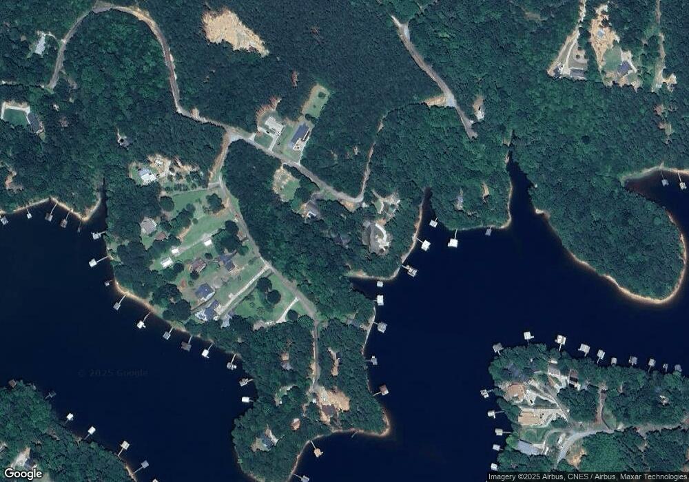
Map
Nearby Homes
- 206 Goff Dr
- 0 Cheyenne Trail Unit 10711355
- 347 River Trail
- 679 Suttles Rd
- 567 Suttles Rd
- 571 Suttles Rd
- 49 Currahee Point
- 287 Spring Branch Cir
- 455 Chase Landing Rd
- 1687 Jenkins Ferry Rd
- 604 Mckinney Way
- 104 Overlook Dr
- 120 Ridgemore Cir
- 102 Meadowlark Ln
- 94 Mockingbird Ct
- 130 Shorewood Cir
- 773 Shorewood Cir
- 117 Sparrow Way
- 9B Lost Forest Dr
- 0 Lost Forest Dr
- 141 Shawnee Trail Unit TR
- 137 Shawnee Trail
- 169 Shawnee Trail
- 135 Shawnee Trail
- 179 Currahee Place
- 199 Currahee Place
- 207 Shawnee Trail
- 0 Shawnee Trail Unit 2824777
- 0 Shawnee Trail Unit LOT 13 3278044
- 0 Shawnee Trail Unit 20122250
- 0 Shawnee Trail Unit 8942669
- 0 Currahee Trail Unit LOT 14 3235942
- 8b & 9 Currahee Place
- LOT 20B Currahee Place
- 6 Currahee Place
- 245 Currahee Place Unit 19
- 216 Shawnee Trail
- 49 Shawnee Trail
- 136 Currahee Place
- 249 Shawnee Trail
Your Personal Tour Guide
Ask me questions while you tour the home.