141 Slopeside Dr Unit 12 Whitefish, MT 59937
Estimated Value: $2,888,000 - $3,276,000
3
Beds
4
Baths
2,844
Sq Ft
$1,087/Sq Ft
Est. Value
About This Home
This home is located at 141 Slopeside Dr Unit 12, Whitefish, MT 59937 and is currently estimated at $3,091,845, approximately $1,087 per square foot. 141 Slopeside Dr Unit 12 is a home located in Flathead County with nearby schools including L.A. Muldown School, Whitefish Middle School, and Whitefish High School.
Ownership History
Date
Name
Owned For
Owner Type
Purchase Details
Closed on
Mar 23, 2023
Sold by
141 Mt Llc
Bought by
Carter Joel R
Current Estimated Value
Purchase Details
Closed on
Jul 10, 2020
Sold by
Ruoff David Philip
Bought by
Ruoff David P and Ruoff Deann L
Purchase Details
Closed on
Mar 25, 2016
Sold by
U S Bank National Association
Bought by
Ruoff David Philip
Purchase Details
Closed on
Dec 30, 2015
Sold by
Abbey Donald G and Abbey Donald
Bought by
U S Bank National Association
Purchase Details
Closed on
Nov 17, 2005
Sold by
R S V Investments Llc
Bought by
Abbey Donald
Purchase Details
Closed on
Oct 26, 2005
Sold by
Walker Usa Llc
Bought by
Kennedy Lee F
Create a Home Valuation Report for This Property
The Home Valuation Report is an in-depth analysis detailing your home's value as well as a comparison with similar homes in the area
Home Values in the Area
Average Home Value in this Area
Purchase History
| Date | Buyer | Sale Price | Title Company |
|---|---|---|---|
| Carter Joel R | -- | Fidelity National Title | |
| Ruoff David P | -- | None Available | |
| Ruoff David Philip | -- | None Available | |
| U S Bank National Association | $838,197 | Stewart Title Company | |
| Abbey Donald | -- | Flathead County Title Compan | |
| Kennedy Lee F | -- | Flathead County Title Compan |
Source: Public Records
Tax History
| Year | Tax Paid | Tax Assessment Tax Assessment Total Assessment is a certain percentage of the fair market value that is determined by local assessors to be the total taxable value of land and additions on the property. | Land | Improvement |
|---|---|---|---|---|
| 2025 | $21,628 | $3,251,400 | $0 | $0 |
| 2024 | $8,057 | $1,488,600 | $0 | $0 |
| 2023 | $8,649 | $1,488,600 | $0 | $0 |
| 2022 | $6,672 | $800,800 | $0 | $0 |
| 2021 | $6,252 | $800,800 | $0 | $0 |
| 2020 | $6,294 | $706,100 | $0 | $0 |
| 2019 | $6,608 | $706,100 | $0 | $0 |
| 2018 | $6,609 | $698,300 | $0 | $0 |
| 2017 | $6,120 | $698,300 | $0 | $0 |
| 2016 | $5,772 | $657,500 | $0 | $0 |
| 2015 | $5,676 | $657,500 | $0 | $0 |
| 2014 | $8,940 | $659,214 | $0 | $0 |
Source: Public Records
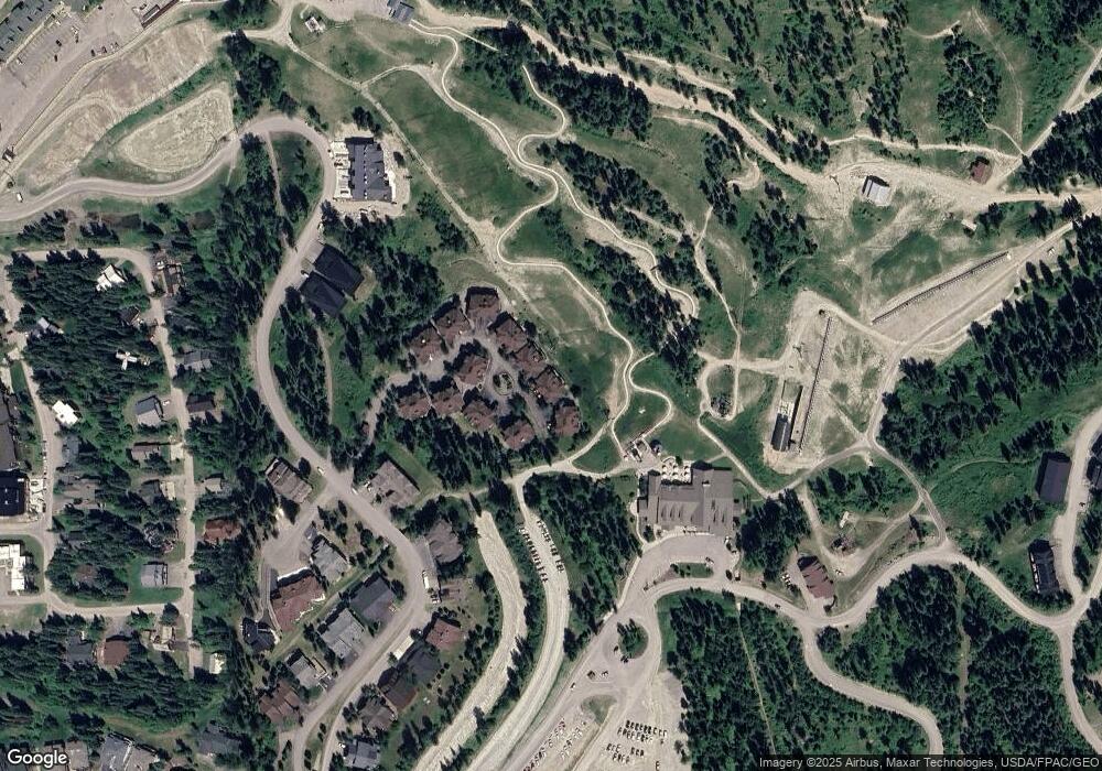
Map
Nearby Homes
- 89 Slopeside Dr Unit 4
- 325 Moose Run Dr
- 349 Moose Run Dr
- 3835 Alpine Glow Ave Unit 1, 2, 3, 4
- 398 Moose Run Dr
- 3813 Tamarack Ave Unit B
- 3825 Tamarack Ave Unit 1
- 3804 Big Sky St
- 3820 Tamarack Ave Unit 200
- 3820 Tamarack Ave Unit 120
- 3820 Tamarack Ave Unit The Pines Unit 320
- 3820 Tamarack Ave Unit 300
- 3808 Alpine Village Dr Unit 1
- 3808 Alpine Village Dr Unit 2
- 3832 Tamarack Ave Unit 2b
- 161 Inspiration Loop
- 101 Wood Run Ct
- 3900 Big Mountain Rd Unit D103
- 3900 Big Mountain Rd Unit 102
- 3900 Big Mountain Rd Unit E104
- 141 Slopeside Dr
- 137 Slopeside Dr
- 137 Slopeside Dr Unit 11
- 7 Slopeside Dr
- 9 Slopeside Dr
- 11 Slopeside Dr
- 13 Slopeside Dr
- 129 Slopeside Dr
- 129 Slopeside Dr Unit 10
- 15 Slopeside Dr
- 2 Slopeside Dr
- 153 Slopeside Dr
- 17 Slopeside Dr
- 125 Slopeside Dr
- 125 Slopeside Dr Unit 9
- 144 Slopeside Dr
- 23 Slopeside Dr
- 8 Slopeside Dr
- 14 Slopeside Dr
- 10 Slopeside Dr
Your Personal Tour Guide
Ask me questions while you tour the home.