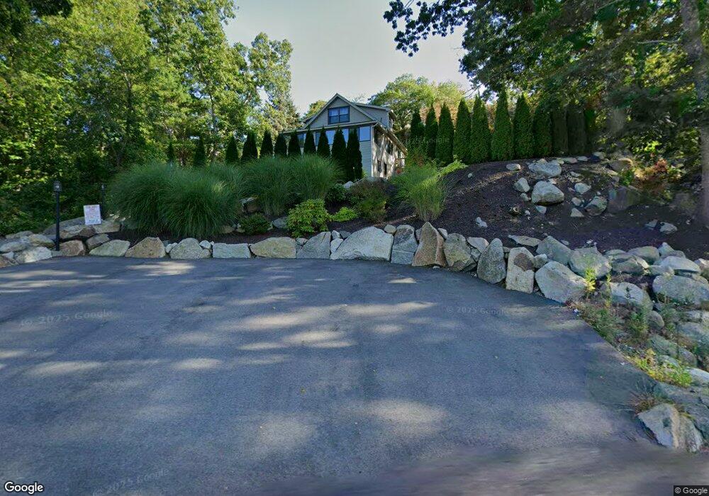
141 Thatcher Rd Gloucester, MA 01930
East Gloucester NeighborhoodEstimated Value: $655,000 - $913,000
2
Beds
2
Baths
1,638
Sq Ft
$461/Sq Ft
Est. Value
About This Home
This home is located at 141 Thatcher Rd, Gloucester, MA 01930 and is currently estimated at $755,518, approximately $461 per square foot. 141 Thatcher Rd is a home located in Essex County with nearby schools including East Gloucester Elementary School, Ralph B O'maley Middle School, and Gloucester High School.
Ownership History
Date
Name
Owned For
Owner Type
Purchase Details
Closed on
Nov 23, 2022
Sold by
Joseph J Mcsweeney T
Bought by
Mallard Beach Llc
Current Estimated Value
Purchase Details
Closed on
Feb 24, 2021
Sold by
Mcsweeney Joseph J and Mcsweeney Susan J
Bought by
Joseph J Mcsweeney T
Purchase Details
Closed on
Jul 1, 1964
Bought by
Mcsweeney Joseph J and Mcsweeney Susan J
Create a Home Valuation Report for This Property
The Home Valuation Report is an in-depth analysis detailing your home's value as well as a comparison with similar homes in the area
Home Values in the Area
Average Home Value in this Area
Purchase History
| Date | Buyer | Sale Price | Title Company |
|---|---|---|---|
| Mallard Beach Llc | -- | None Available | |
| Joseph J Mcsweeney T | -- | None Available | |
| Joseph J Mcsweeney T | -- | None Available | |
| Mcsweeney Joseph J | -- | -- |
Source: Public Records
Tax History
| Year | Tax Paid | Tax Assessment Tax Assessment Total Assessment is a certain percentage of the fair market value that is determined by local assessors to be the total taxable value of land and additions on the property. | Land | Improvement |
|---|---|---|---|---|
| 2025 | $6,047 | $622,100 | $224,300 | $397,800 |
| 2024 | $6,066 | $623,400 | $213,600 | $409,800 |
| 2023 | $5,883 | $555,500 | $190,700 | $364,800 |
| 2022 | $5,301 | $451,900 | $162,100 | $289,800 |
| 2021 | $5,345 | $429,700 | $147,400 | $282,300 |
| 2020 | $5,124 | $415,600 | $147,400 | $268,200 |
| 2019 | $5,075 | $399,900 | $147,400 | $252,500 |
| 2018 | $4,974 | $384,700 | $147,400 | $237,300 |
| 2017 | $4,780 | $362,400 | $140,400 | $222,000 |
| 2016 | $4,686 | $344,300 | $140,900 | $203,400 |
| 2015 | $4,489 | $328,900 | $140,900 | $188,000 |
Source: Public Records
Map
Nearby Homes
- 25 Salt Island Rd
- 78 Thatcher Rd Unit 6
- 148 Long Beach
- 26 Marina Dr
- 33 Highview Rd
- 5 Wise Place
- 87 Atlantic Rd Unit 2
- 36 Eastern Ave
- 27 Hodgkins Rd
- 175 South St
- 30 Chapel St Unit B
- 16 Hodgkins Rd Unit 2
- 160 Prospect St Unit 3
- 197 E Main St Unit 1
- 197 E Main St Unit 2
- 177 Main St
- 19 Trask St Unit 2
- 10 Seaview Rd
- 40 Sargent St
- 73 Rocky Neck Ave Unit 2
- 15 Cliff Rd Unit 1
- 15 Cliff Rd
- 17 Cliff Road: Winter
- 17 Cliff Rd
- 17 Cliff Rd
- 137 Thatcher Rd
- 137 Thatcher Rd Unit B
- 137 Thatcher Rd Unit A
- 137A Thatcher Rd Unit A
- 137 Thatcher Rd Unit 1,1
- 92 Thatcher Rd
- 1 Rockport Rd
- 21 Cliff Rd
- 3 Rockport Rd
- 5 Arland Terrace
- 133 Thatcher Rd
- 10 Cliff Rd
- 10 Cliff Rd Unit 6
- 14 Prospect Terrace
- 23 A Cliff Rd Unit 23A
Your Personal Tour Guide
Ask me questions while you tour the home.