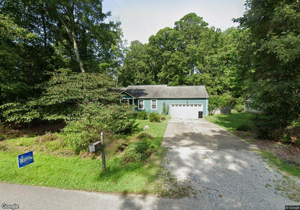
141 the Maine Williamsburg, VA 23185
Jamestown NeighborhoodEstimated Value: $439,000 - $475,000
3
Beds
2
Baths
1,788
Sq Ft
$252/Sq Ft
Est. Value
About This Home
This home is located at 141 the Maine, Williamsburg, VA 23185 and is currently estimated at $451,305, approximately $252 per square foot. 141 the Maine is a home located in James City County with nearby schools including Matoaka Elementary School, Lois Hornsby Middle School, and Jamestown High School.
Ownership History
Date
Name
Owned For
Owner Type
Purchase Details
Closed on
Jul 5, 2007
Sold by
Stein Steven R
Bought by
Aschiero Jason R
Current Estimated Value
Home Financials for this Owner
Home Financials are based on the most recent Mortgage that was taken out on this home.
Original Mortgage
$219,200
Outstanding Balance
$136,221
Interest Rate
6.48%
Mortgage Type
New Conventional
Estimated Equity
$315,084
Purchase Details
Closed on
Nov 22, 2000
Sold by
Kennedy Colleen S
Bought by
Stein Steve R
Home Financials for this Owner
Home Financials are based on the most recent Mortgage that was taken out on this home.
Original Mortgage
$144,500
Interest Rate
7.69%
Create a Home Valuation Report for This Property
The Home Valuation Report is an in-depth analysis detailing your home's value as well as a comparison with similar homes in the area
Home Values in the Area
Average Home Value in this Area
Purchase History
| Date | Buyer | Sale Price | Title Company |
|---|---|---|---|
| Aschiero Jason R | $274,000 | -- | |
| Stein Steve R | $144,500 | -- |
Source: Public Records
Mortgage History
| Date | Status | Borrower | Loan Amount |
|---|---|---|---|
| Open | Aschiero Jason R | $219,200 | |
| Previous Owner | Stein Steve R | $144,500 |
Source: Public Records
Tax History Compared to Growth
Tax History
| Year | Tax Paid | Tax Assessment Tax Assessment Total Assessment is a certain percentage of the fair market value that is determined by local assessors to be the total taxable value of land and additions on the property. | Land | Improvement |
|---|---|---|---|---|
| 2025 | $2,601 | $333,400 | $80,300 | $253,100 |
| 2024 | $2,601 | $333,400 | $80,300 | $253,100 |
| 2023 | $2,601 | $288,600 | $69,800 | $218,800 |
| 2022 | $2,395 | $288,600 | $69,800 | $218,800 |
| 2021 | $2,309 | $274,900 | $65,600 | $209,300 |
| 2020 | $2,309 | $274,900 | $65,600 | $209,300 |
| 2019 | $2,192 | $260,900 | $57,800 | $203,100 |
| 2018 | $2,192 | $260,900 | $57,800 | $203,100 |
| 2017 | $2,064 | $245,700 | $57,800 | $187,900 |
| 2016 | $2,064 | $245,700 | $57,800 | $187,900 |
| 2015 | $1,008 | $240,000 | $57,800 | $182,200 |
| 2014 | $1,848 | $240,000 | $57,800 | $182,200 |
Source: Public Records
Map
Nearby Homes
- 118 the Maine
- 116 the Maine
- 3029 Mossy Creek Dr
- 317 Timber Passage Trail
- 103 Lawnes Cir
- 3004 Cedar Run
- 3012 E Brittington
- 3001 E Tiverton
- 3268 Reades Way
- 411 Timber Passage Trail
- 2704 Smallpage Trace
- 2709 Smallpage Trace
- 4608 Prince Trevor Dr
- 290 Shoal Creek
- 117 Rothbury Dr
- 517 Fairway Lookout
- 527 Fairway Lookout
- 230 Bunker Arch
- 139 the Maine
- 143 the Maine
- 104 Barrows Mount
- 137 the Maine
- 106 Barrows Mount
- 142 the Maine
- 145 the Maine
- 140 Jordans Journey
- 144 the Maine
- 140 the Maine
- 146 the Maine
- 138 the Maine
- 136 the Maine
- 134 the Maine
- 103 Barrows Mount
- 3760 Captain Wynne Dr
- 135 the Maine
- 3756 Captain Wynne Dr
- 102 Crossover Rd
- 3764 Captain Wynne Dr